Home
Images
Vectors
Videos
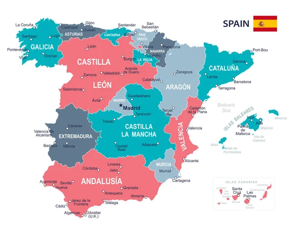
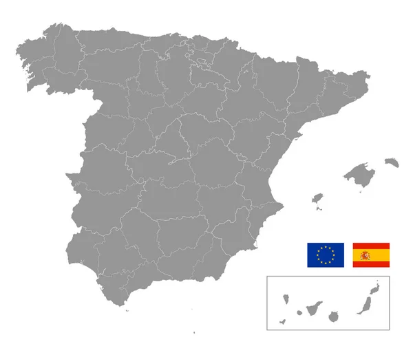
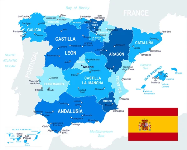
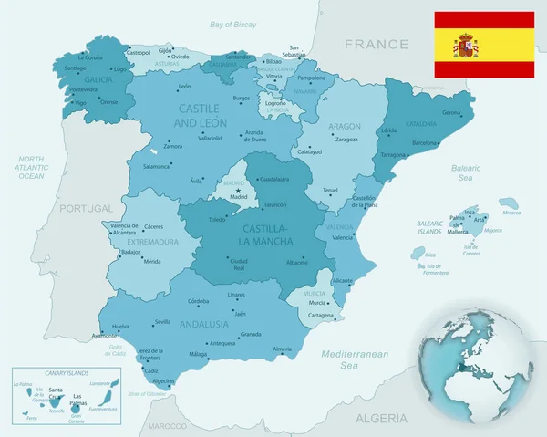
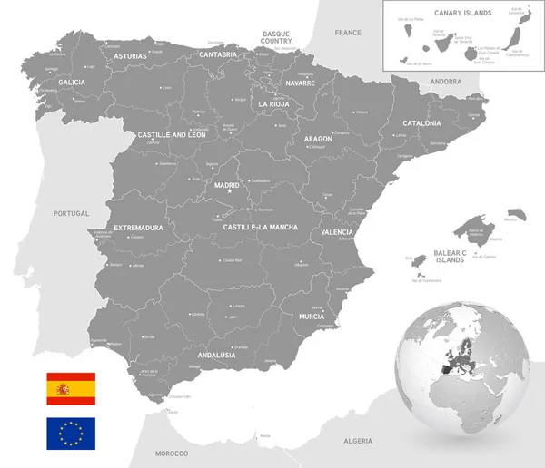
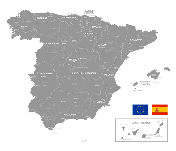
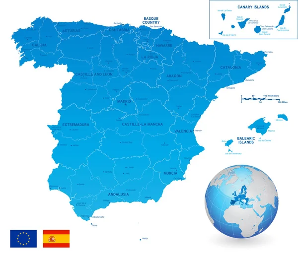
Stock vector Vector Political Map of Spain with full Region and Provinces Boundaries, completed with flags of Spain and EU and an Earth Globe centered on Europe
Published:
Jul.03, 2018 09:12:55
Author:
pingebat
Views:
40
Downloads:
1
File type:
vector
/
eps
File size:
11.22 MB
Orginal size:
6500
x
5601
px
Available sizes:
S
(500 x 431)
M
(1000 x 862)
L
(2000 x 1723)
XL
(6500 x 5601)
VECT
(6500 x 5601)
EL0
(6500 x 5601)
Level:
silver
Download Vector
Vector topics:
Color
Blue
Vector
Illustration
Design
Business
Travel
European
Border
Flag
Symbol
City
Detailed
Capital
Europe
Navigation
Outline
Country
Map
Cartography
Icons
Geography
National
Land
Mediterranean
Spain
Political
Administrative
Kingdom
Communities
Islands
Cities
Spanish
Province
Barcelona
Catalonia
Seville
Valencia
Madrid
Galicia
Regions
Aragon
Similar stock vectors
Spain Map - Illustration
7342 × 5900
Vector Grey Map Of Spain With Administrative Borders
7022 × 6051
Spain - Map And Flag - Illustration
5400 × 4325
Blue-green Detailed Map Of Spain And Administrative Divisions With Country Flag And Location On The Globe.
6602 × 5283
Grey Vector Map Of Spain With Administrative Borders, City And Region Names, International Bordering Countries And A 3D Globe Centered On Spain
7022 × 6051
Grey Vector Map Of Spain With Administrative Borders And City And Region Names
7022 × 6051
Spain Map - Map, Flag And Navigation Labels - Illustration.
5400 × 4135
Spain Political Map Vector Illustration
3398 × 2965