Home
Images
Vectors
Videos
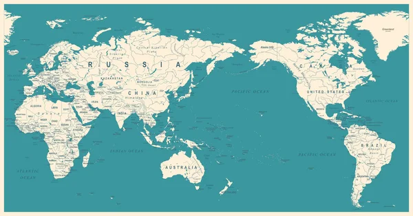
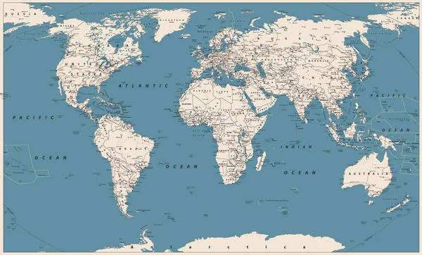
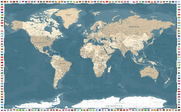
Stock vector Vintage World Map - Vector Illustration
Published:
Jun.27, 2017 09:55:29
Author:
dikobrazik
Views:
138
Downloads:
5
File type:
vector
/
eps
File size:
11.67 MB
Orginal size:
8847
x
5000
px
Available sizes:
S
(500 x 283)
M
(1000 x 565)
L
(2000 x 1130)
XL
(8847 x 5000)
VECT
(8847 x 5000)
EL0
(8847 x 5000)
Level:
silver
Download Vector
Vector topics:
Green
Color
Yellow
Large
Blue
Vector
Colored
Sea
Retro
Vintage
River
City
Beige
Flat
Earth
World
Usa
Italy
Detailed
Europe
China
Country
Map
Africa
Germany
Land
Spain
Uk
Old Fashioned
Asia
Countries
Australia
Canada
Region
Continents
Oceania
Middle East
World Map
Illustration And Painting
North America
South America
Information Medium
Mediterranean Sea
Star Shape
Pacific Ocean
The Americas
Atlantic Ocean
Navigational Equipment
Similar stock vectors
Vintage World Map - Vector Illustration
8715 × 5000
Vintage World Map - Vector Illustration
8847 × 5000
Lands And Oceans Within Areas Adjacent To The African Tectonic Plate. Van Der Grinten I Projection (oblique Transformation)
2880 × 1620
North And South America - Map And Navigation Labels - Illustration.
5400 × 8708
Pattern Map Of The Area Around The Pacific Tectonic Plate. 3D Rendering
2880 × 1620
Vintage Political World Map Pacific Centered
8800 × 4607
World Map Vector Vintage. High Detailed Vector Illustration Of World Map.
8192 × 4953
World Map Political - Vector Illustration
6276 × 3896