photo free
Home Images Vectors Videos

Stock vector Wakayama prefecture outline map set

Stock vector Wakayama prefecture outline map set
Published: Jun.24, 2024 12:26:33
Author: davidzydd
Views: 0
Downloads: 0
File type: vector / eps
File size: 1.88 MB
Orginal size: 6000 x 3000 px
Available sizes:
S
(500 x 250)
M
(1000 x 500)
L
(2000 x 1000)
XL
(6000 x 3000)
VECT
(6000 x 3000)
EL0
(6000 x 3000)
Level: silver
Download Vector
Vector topics:

Similar stock vectors

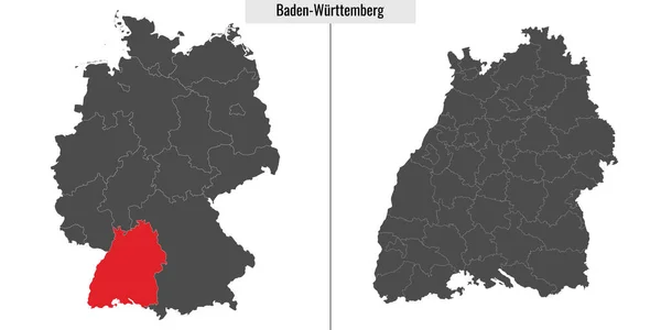
stock vector map of Baden-Wurttemberg state of Germany and location on German map

Map Of Baden-Wurttemberg State Of Germany And Location On German Map

6000 × 3000
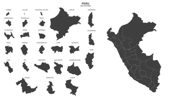
stock vector political map of Peru isolated on white background

Political Map Of Peru Isolated On White Background

6164 × 3519
stock vector Vector halftone Dotted map of Malawi country for your design, Travel Illustration concept.

Vector Halftone Dotted Map Of Malawi Country For Your Design, Travel Illustration Concept.

3879 × 2883
stock vector The black and white administrative maps of Croatia

The Black And White Administrative Maps Of Croatia

6000 × 2880
stock vector Cassowary Coast Region (Commonwealth of Australia, Queensland state) map vector illustration, scribble sketch Cassowary Coast map

Cassowary Coast Region (Commonwealth Of Australia, Queensland State) Map Vector Illustration, Scribble Sketch Cassowary Coast Map

7087 × 4726
stock vector Chelan County (Washington) outline map set

Chelan County (Washington) Outline Map Set

6000 × 3000
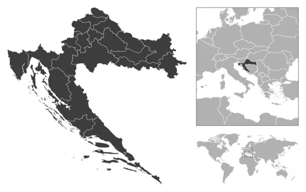
stock vector Croatia - detailed country outline and location on world map. Vector illustration

Croatia - Detailed Country Outline And Location On World Map. Vector Illustration

8301 × 5216
stock vector Neuquen province outline map set

Neuquen Province Outline Map Set

6000 × 3000