Home
Images
Vectors
Videos
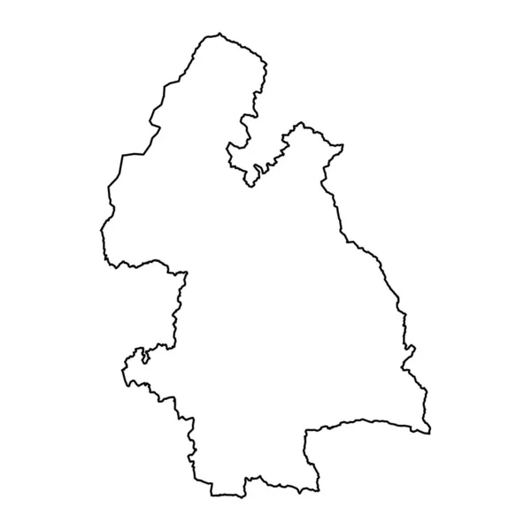
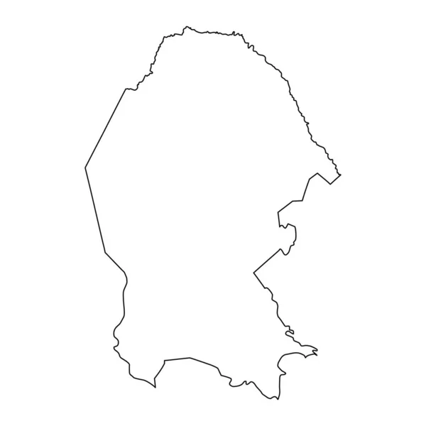
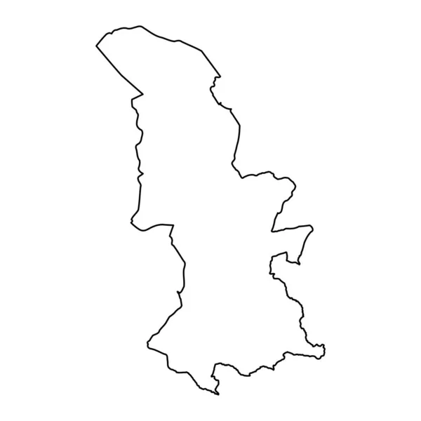
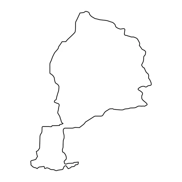
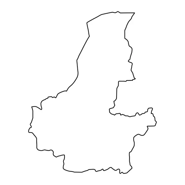
Stock vector Western Province map, administrative division of Rwanda. Vector illustration.
Published:
Jun.24, 2024 12:10:44
Author:
majborodinruslan1990.icloud.com
Views:
0
Downloads:
0
File type:
vector
/
eps
File size:
5.41 MB
Orginal size:
8334
x
8334
px
Available sizes:
S
(500 x 500)
M
(1000 x 1000)
L
(2000 x 2000)
XL
(8334 x 8334)
VECT
(8334 x 8334)
EL0
(8334 x 8334)
Level:
beginner
Download Vector
Vector topics:
Vector
Graphic
Illustration
Design
Isolated
Sign
Texture
Line
Silhouette
Border
Banner
Symbol
Icon
Contour
Simple
Drawing
Template
Detailed
Capital
Outline
Country
District
Map
Cartography
Geography
Area
National
Land
State
Chart
Topography
Boundary
Political
Administrative
Department
Region
Division
Federal
Territory
Atlas
Province
County
Mapping
Rwanda
Cut Out
Western Province
Similar stock vectors
Jowzjan Province Map, Administrative Division Of Afghanistan.
4000 × 4000
Faryab Province Map, Administrative Division Of Afghanistan.
4000 × 4000
Highly Detailed Liechtenstein Map With Borders Isolated On Background
4000 × 4000
Mashonaland West Province Map, Administrative Division Of Zimbabwe. Vector Illustration.
8334 × 8334
Liechtenstein Map Icon Vector Illustration Design
6344 × 6344
County Tipperary Map, Administrative Counties Of Ireland. Vector Illustration.
8334 × 8334
Coahuila State Map, Administrative Division Of The Country Of Mexico. Vector Illustration.
8334 × 8334
Torfaen Map, District Of Wales. Vector Illustration.
8334 × 8334