Home
Images
Vectors
Videos
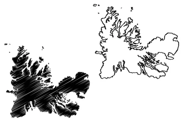
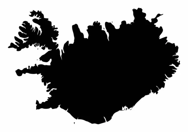
Stock vector Westfjords Region (Iceland island, Regions of Iceland) map vector illustration, scribble sketch West Fjords map
Published:
Jul.20, 2020 06:24:12
Author:
Danler
Views:
8
Downloads:
1
File type:
vector
/
eps
File size:
1.04 MB
Orginal size:
7087
x
4726
px
Available sizes:
S
(500 x 333)
M
(1000 x 667)
L
(2000 x 1334)
XL
(7087 x 4726)
VECT
(7087 x 4726)
EL0
(7087 x 4726)
Level:
bronze
Download Vector
Vector topics:
Vector
Background
Illustration
Design
Isolated
Sign
Travel
Abstract
Texture
Black
Line
Silhouette
Border
Icon
City
Flat
Contour
Drawing
World
Scratch
Tourism
Town
Europe
Outline
Country
Map
Cartography
Geography
Area
National
Continent
State
Topography
Island
Administrative
Republic
Region
Division
Insignia
Territory
Patriotic
Province
County
Iceland
Districts
Autonomy
Oblast
Westfjords
West Fjords
Isafjorour
Similar stock vectors
Finnmark (Administrative Divisions Of Norway, Kingdom Of Norway) Map Vector Illustration, Scribble Sketch Finnmark (Finnmarku) Fylke Map
7087 × 4726
Iceland Dark Silhouette Map Isolated On White Background
5000 × 3500
Iceland Country Map Silhouette In Europe
5000 × 3000
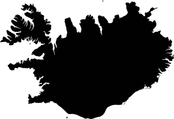
BLACK CMYK Color Detailed Flat Stencil Map Of The European Country Of ICELAND On Transparent Background
6000 × 4110
Kerguelen Islands (France, French Republic) Map Vector Illustration, Scribble Sketch Desolation Islands Map
7087 × 4726
Map Of Iceland Icon Black Color Vector Illustration Flat Style Simple Image
5556 × 5556
Map Of Iceland On Dark Slate
4288 × 2848
Soroya Island (Kingdom Of Norway) Map Vector Illustration, Scribble Sketch Sallan Map
7087 × 4726