Home
Images
Vectors
Videos
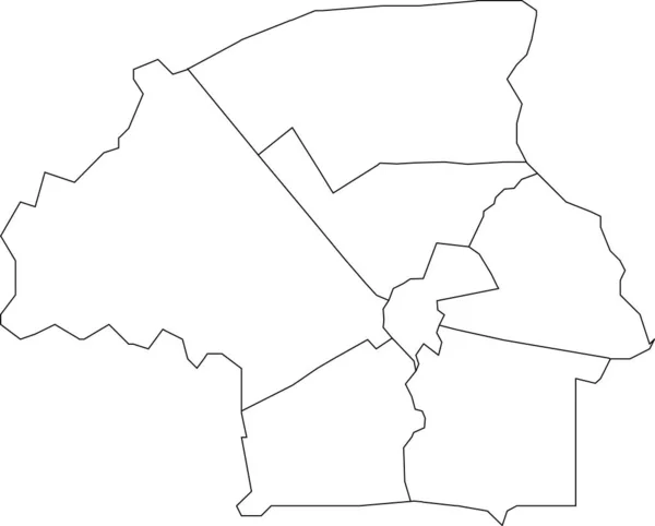
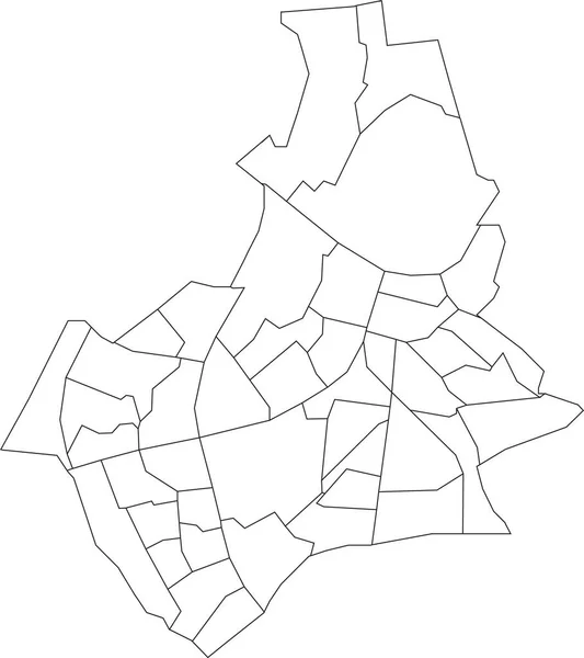
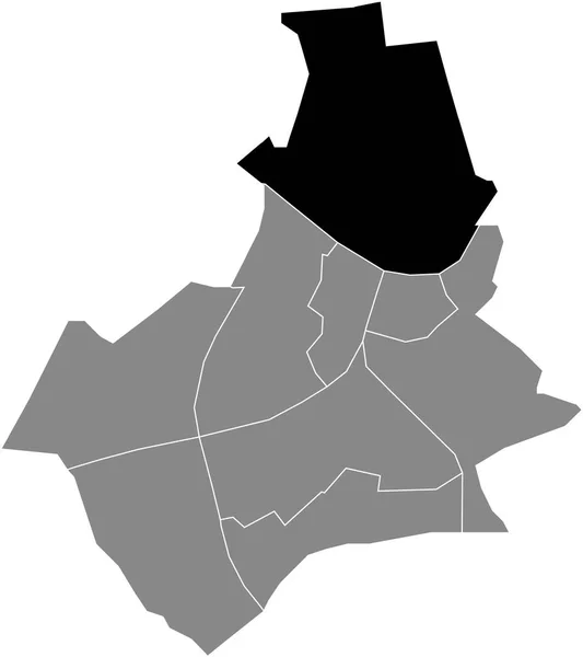
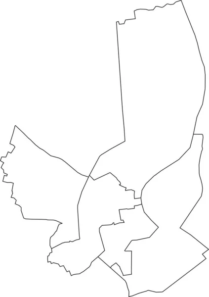
Stock vector White flat blank vector administrative map of NIJMEGEN, NETHERLANDS with black border lines of its districts
Published:
Feb.15, 2022 08:39:26
Author:
momcilo.jovanov
Views:
1
Downloads:
0
File type:
vector
/
eps
File size:
0.41 MB
Orginal size:
4636
x
5213
px
Available sizes:
S
(445 x 500)
M
(889 x 1000)
L
(1779 x 2000)
XL
(4636 x 5213)
VECT
(4636 x 5213)
EL0
(4636 x 5213)
Level:
bronze
Download Vector
Vector topics:
Vector
Curve
Illustration
Design
Sign
Travel
Transportation
Mountain
Car
Road
Traffic
Symbol
Icon
City
House
Data
Planning
Netherlands
Highway
Town
Journey
Outline
Direction
Map
Cartography
Land
Patriotism
Asphalt
Government
Community
Infographic
Coat Of Arms
Cut Out
Travel Destinations
Residential District
No People
Global Positioning System
Physical Geography
Construction Industry
Dutch Culture
Road Map
Navigational Equipment
Transparent Background
Dutch Flag
Urban Road
Nijmegen
Dutch Language
Plan Document
Landscape Scenery
Borough District Type
Similar stock vectors
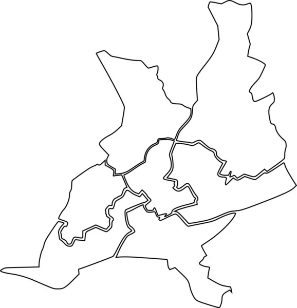
White Flat Vector Administrative Map Of BORDEAUX, FRANCE With Black Border Lines Of Its Cantons
4035 × 5711
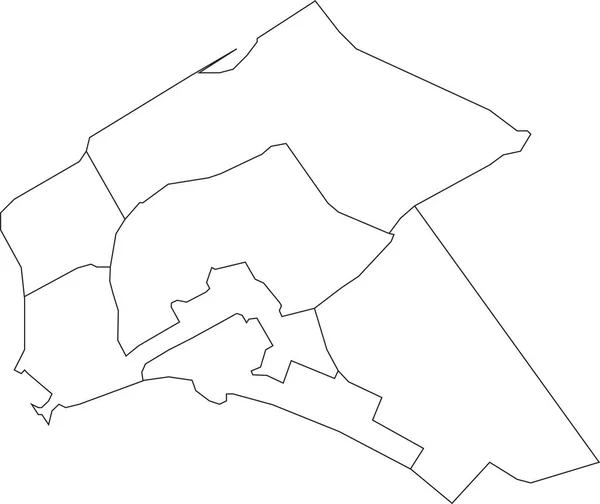
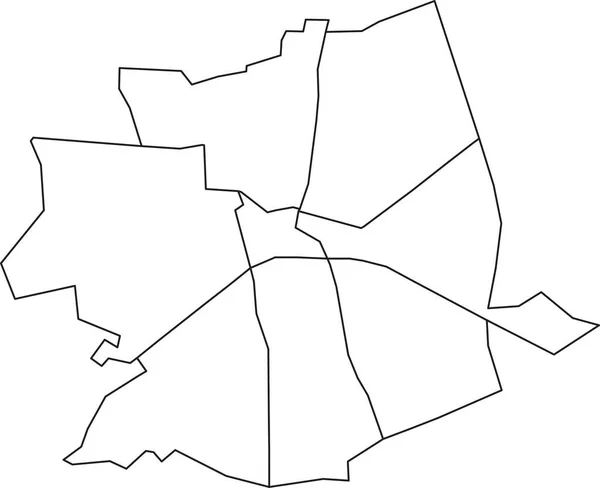
White Flat Blank Vector Administrative Map Of ALMERE, NETHERLANDS With Black Border Lines Of Its Districts
5413 × 4549
White Flat Blank Vector Administrative Map Of EINDHOVEN, NETHERLANDS With Black Border Lines Of Its Districts
5511 × 4435
White Flat Blank Vector Administrative Map Of NIJMEGEN, NETHERLANDS With Black Border Lines Of Its Neighborhoods
4633 × 5209
White Flat Blank Vector Administrative Map Of APELDOORN, NETHERLANDS With Black Border Lines Of Its Districts
5417 × 4411
Simple Blank White Vector Map With Black Borders Of Urban City Cantons Of Nantes, France
4833 × 5016
Black Flat Blank Highlighted Location Map Of The NIJMEGEN-NOORD DISTRICT Inside Gray Administrative Map Of Nijmegen, Netherlands
4636 × 5213
Gray Flat Blank Vector Administrative Map Of UTRECHT, NETHERLANDS With Black Border Lines Of Its Quarters
5410 × 4533