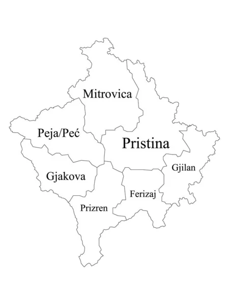
Stock vector White Labeled Districts Map of European Country of Kosovo
Published: Nov.23, 2020 08:29:21
Author: momcilo.jovanov
Views: 10
Downloads: 1
File type: vector / eps
File size: 0.58 MB
Orginal size: 3600 x 4800 px
Available sizes:
Level: bronze
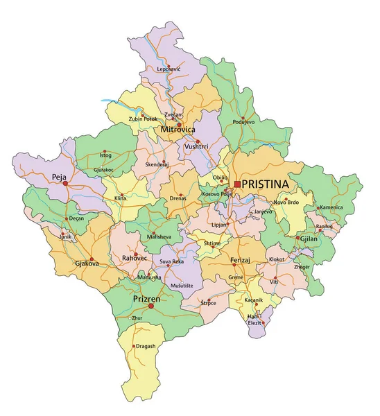
Similar stock vectors

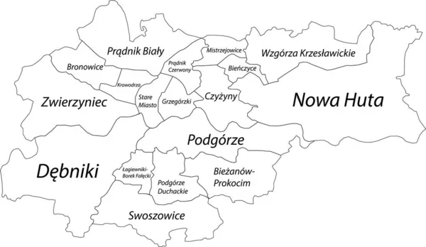
Simple Blank White Vector Map With Black Borders And Names Of Districts Of Krakow, Poland
6505 × 3777