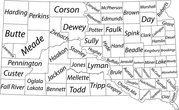
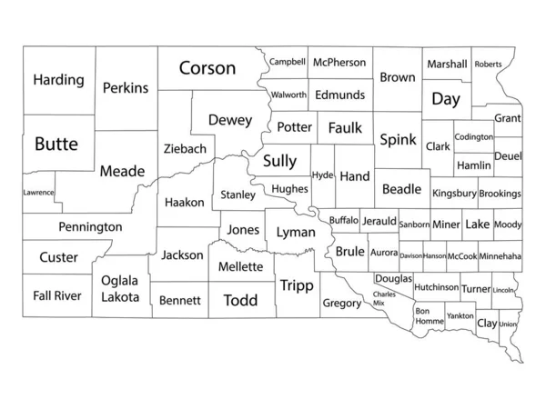
Stock vector White Outline Counties Map With Counties Names of US State of South Dakota
Published: Nov.06, 2020 11:30:29
Author: momcilo.jovanov
Views: 56
Downloads: 1
File type: vector / eps
File size: 0.8 MB
Orginal size: 4800 x 3600 px
Available sizes:
Level: bronze