Home
Images
Vectors
Videos
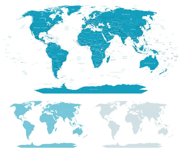
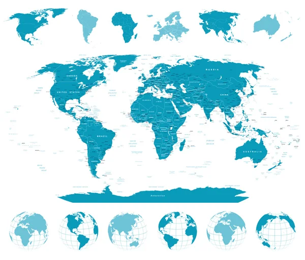
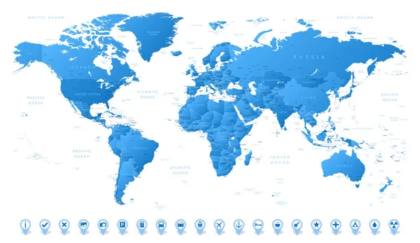
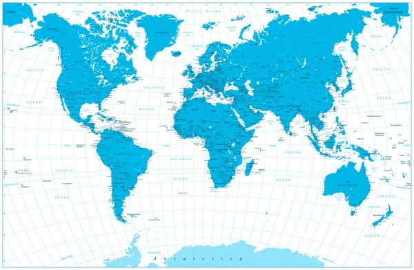
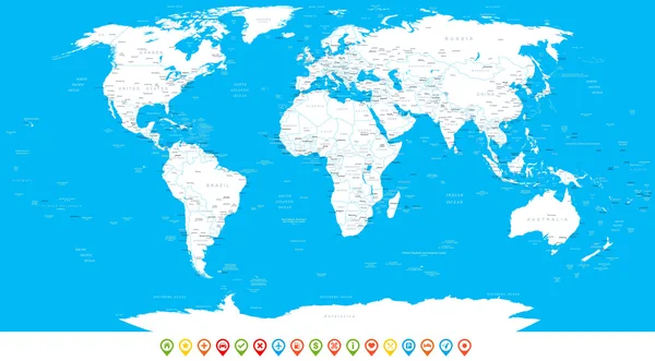
Stock vector World Map and navigation icons - illustration.
Published:
Sep.04, 2015 07:40:53
Author:
dikobrazik
Views:
1944
Downloads:
147
File type:
vector
/
eps
File size:
13.49 MB
Orginal size:
8400
x
4692
px
Available sizes:
S
(500 x 279)
M
(1000 x 559)
L
(2000 x 1117)
XL
(8400 x 4692)
VECT
(8400 x 4692)
EL0
(8400 x 4692)
Level:
silver
Download Vector
Vector topics:
Blue
Vector
Round
Sign
Label
Sea
City
Pointing
Earth
World
Usa
Italy
France
Detailed
Europe
Rounded
China
Navigation
Country
Map
Africa
Germany
Land
Spain
Uk
Asia
Japan
Countries
Australia
Canada
Region
Navy
Continents
Oceania
Middle East
World Map
Computer Icon
Illustration And Painting
North America
South America
New Zealand
Information Medium
Mediterranean Sea
Star Shape
Pacific Ocean
The Americas
Atlantic Ocean
Navigational Equipment
Similar stock vectors
Blue-green World Map - Borders, Countries And Cities - Illustration.
7400 × 6275
World Map, Globes, Continents - Illustration.
7400 × 6338
World Map. Detailed Map Of The World With Borders Of All Countries. Vector Illustration
9066 × 5250
Blue Color World Map Highly Detailed Illustration
8192 × 5349
World Map And Navigation Icons - Illustration
6000 × 3546
World Map And Navigation Icons
8192 × 5832
World - High Detailed Political Map Of World With Country, Ocean And Sea Names Labeling.
8000 × 6000
White World Map And Navigation Icons - Illustration.
8400 × 4639