Home
Images
Vectors
Videos
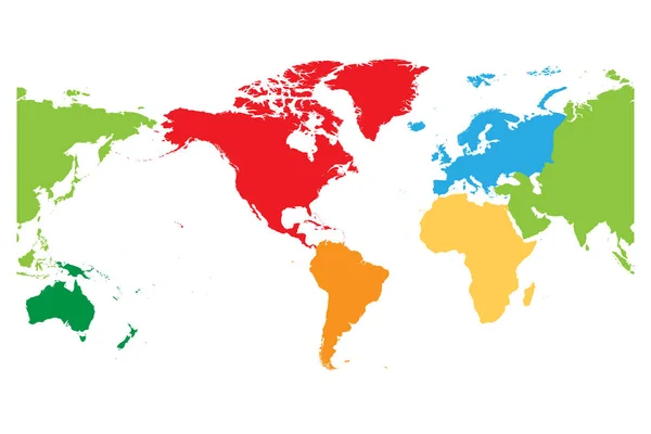
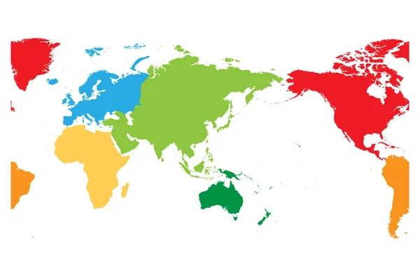
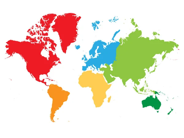
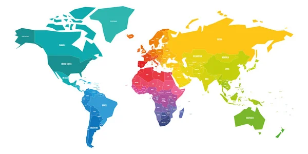
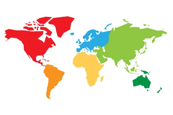
Stock vector World map divided into six continents. Each continent in different color. Simple flat vector illustration
Published:
Jun.26, 2018 14:52:59
Author:
pyty
Views:
541
Downloads:
2
File type:
vector
/
eps
File size:
0.38 MB
Orginal size:
6000
x
4000
px
Available sizes:
S
(500 x 333)
M
(1000 x 667)
L
(2000 x 1333)
XL
(6000 x 4000)
VECT
(6000 x 4000)
EL0
(6000 x 4000)
Level:
silver
Download Vector
Vector topics:
Green
Color
Red
Yellow
Blue
Vector
Background
Colorful
Graphic
Colored
Illustration
Business
Label
Travel
Orange
Border
Gray
Pastel
Global
Earth
Planet
World
Ocean
North
Europe
Globe
East
South
Name
Map
Cartography
Geography
Africa
Continent
Land
Worldwide
Ground
Asia
Chart
America
Australia
Region
Oceania
Atlas
Zone
Colorless
Regional
Discolor
North America
South America
Similar stock vectors
World Map Divided Into Six Continents. Americas Centered. Each Continent In Different Color. Simple Flat Vector Illustration
6000 × 4000
World Map Divided Into Six Continents. Asia And Australia Centered. Each Continent In Different Color. Simple Flat Vector Illustration
6000 × 4000
Map Of World Continents - North America, South America, Africa, Europe, Asia And Australia. Mercator Projection. Each Continent In Different Color.
8001 × 6000
Colorful World Map
8000 × 4000
Illustration Graphic Vector World Map Colored
8000 × 4500
World Map Background
5000 × 5000
World Map Divided Into Six Continents. Each Continent In Different Color. Simple Flat Vector Illustration
6000 × 3000
Continents, Great Design For Any Purposes. Worldwide Vector Illustration
7917 × 4167