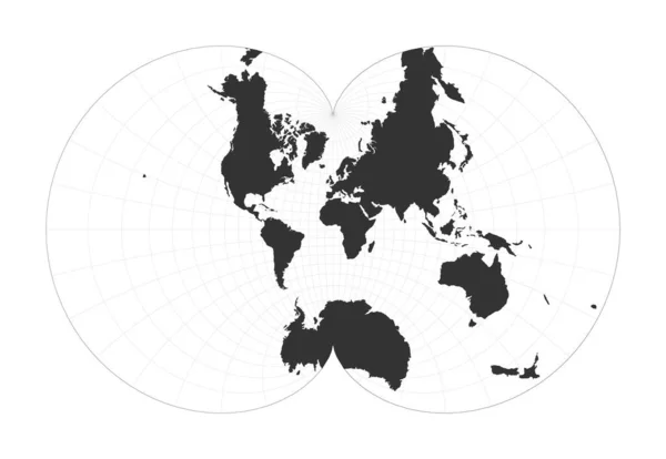
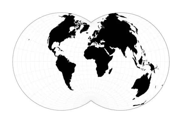
Stock vector World map with latitude lines Augusts epicycloidal conformal projection Plan world geographical
Published: Feb.10, 2020 11:22:45
Author: gagarych
Views: 0
Downloads: 0
File type: vector / eps
File size: 1.5 MB
Orginal size: 6337 x 4738 px
Available sizes:
Level: bronze
Similar stock vectors

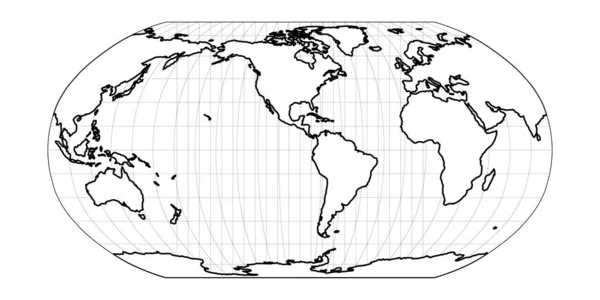
World Map With Latitude Lines Eisenlohr Conformal Projection Plan World Geographical Map With
6586 × 4558

Minimal World Map Van Der Grinten IV Projection Plan World Geographical Map With Graticlue Lines
6667 × 4511

Map Of The World Illustration Hill Eucyclic Projection Plan World Geographical Map With Graticlue
6899 × 4362