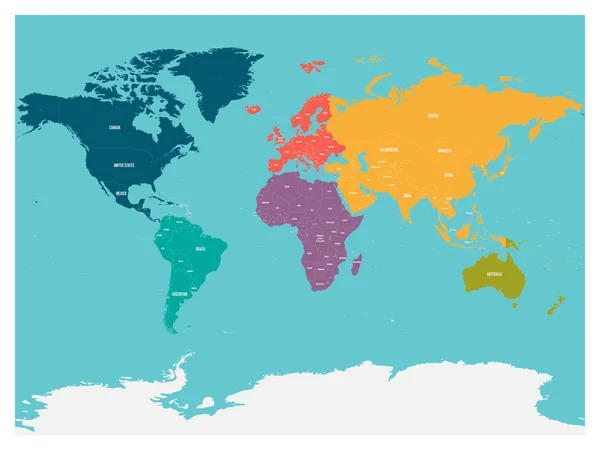
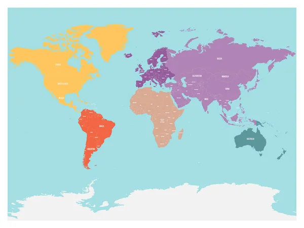
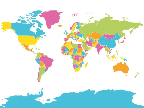
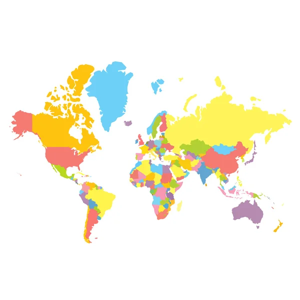
Stock vector World Political Map Vector Illustration

Published: Jul.18, 2016 12:05:42
Author: robuart
Views: 98
Downloads: 0
File type: vector / eps
File size: 2.65 MB
Orginal size: 5000 x 2950 px
Available sizes:
Level: gold