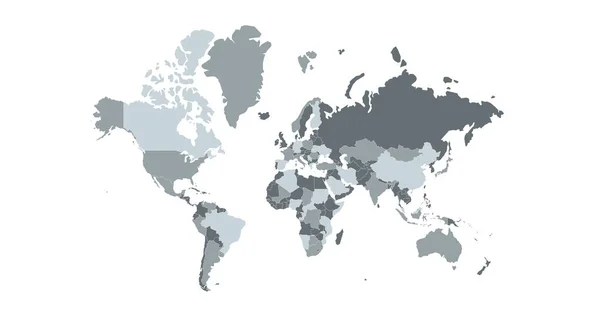
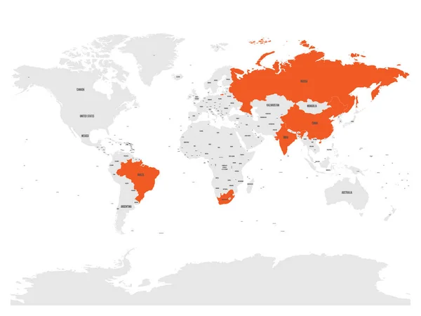
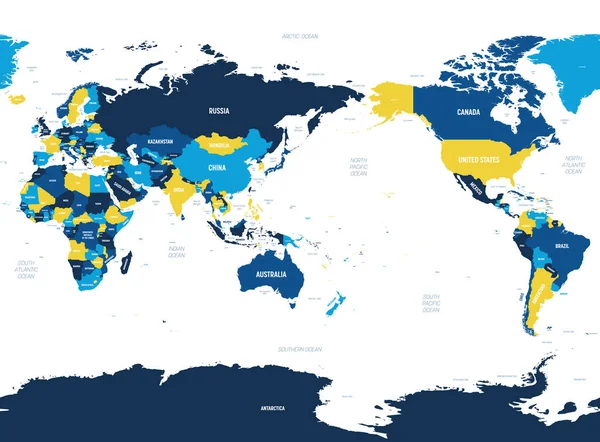
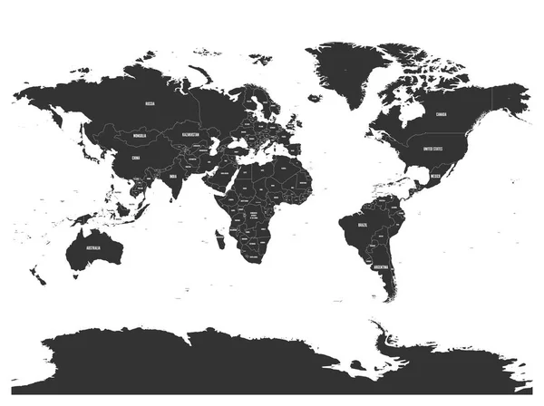
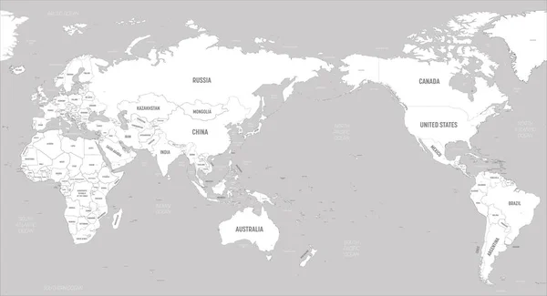
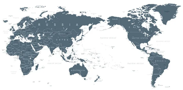
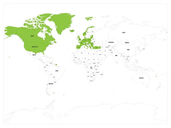
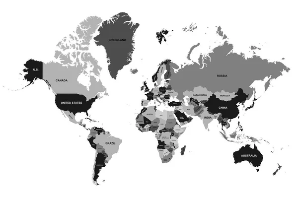
Stock vector World Vector Map. Political World map design. Isolated world map. Silhouette map. Vector illustration
Published: Jan.14, 2023 15:48:28
Author: Volykievgenii
Views: 0
Downloads: 0
File type: vector / eps
File size: 2.24 MB
Orginal size: 3602 x 2400 px
Available sizes:
Level: silver