Home
Images
Vectors
Videos
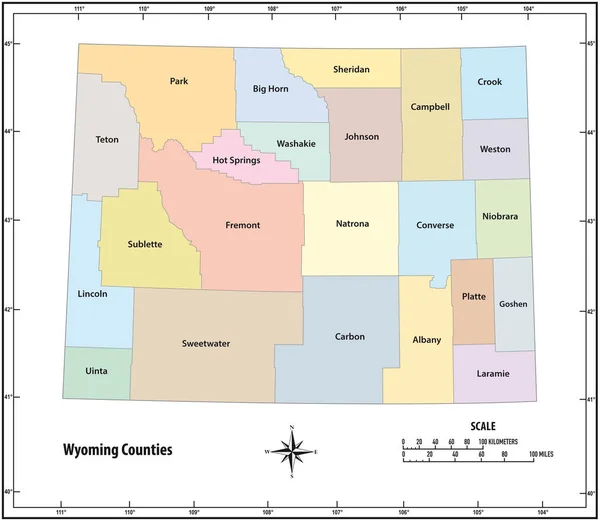
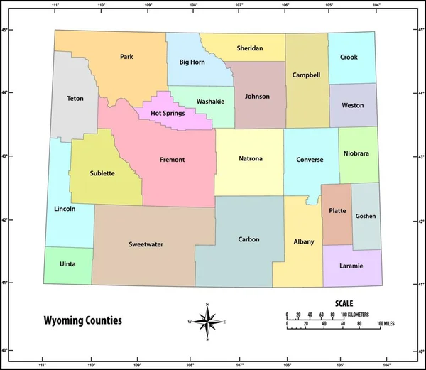
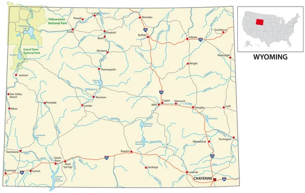
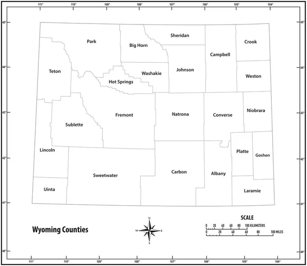
Stock vector Wyoming state outline administrative and political map in black and white
Published:
Aug.19, 2019 12:00:30
Author:
Lesniewski
Views:
3
Downloads:
1
File type:
vector
/
eps
File size:
0.69 MB
Orginal size:
3565
x
3100
px
Available sizes:
S
(500 x 435)
M
(1000 x 870)
L
(2000 x 1739)
XL
(3565 x 3100)
VECT
(3565 x 3100)
EL0
(3565 x 3100)
Level:
bronze
Download Vector
Vector topics:
White
Vector
Background
Graphic
Illustration
Design
Isolated
New
Travel
Black
Border
Symbol
Contour
Scale
Earth
American
Usa
Detailed
Globe
Outline
Country
District
Map
Cartography
Geography
State
America
Countries
Island
Political
Administrative
United
States
Region
Miles
Territory
Province
Nation
County
Mapping
Coordinates
Wyoming
Counties
North America
United States
United States Of America
North Arrow
Similar stock vectors
Wyoming State Outline Administrative And Political Map In Color
3565 × 3100
Wyoming State Outline Administrative And Political Map In Color
4000 × 3917
Highly Detailed North Dakota Physical Map With Labeling.
4786 × 3631
North Dakota Road And Highway Map. Vector Illustration.
4784 × 3629
New Mexico State Outline Administrative And Political Vector Map In Black And White
3914 × 4000
Road Map Of The US American State Of Wyoming
4904 × 3100
North Dakota State Outline Administrative And Political Vector Map In Black And White
5151 × 4117
Outline Map Of North Dakota White Background. USA State, Vector Map With Contour.
4000 × 4000