photo free
Home Images Vectors Videos

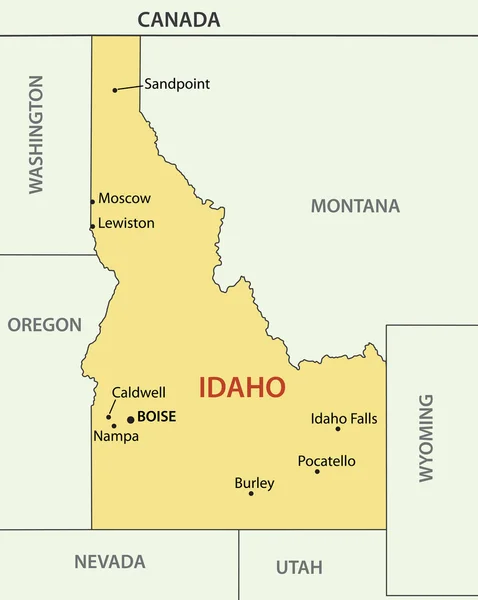
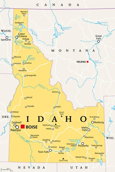
Stock vector Yellow map of Idaho with indication of largest cities

Stock vector Yellow map of Idaho with indication of largest cities
Published: May.06, 2015 13:44:08
Author: chrupka
Views: 70
Downloads: 0
File type: vector / eps
File size: 1.56 MB
Orginal size: 3780 x 4200 px
Available sizes:
S
(450 x 500)
M
(900 x 1000)
L
(1800 x 2000)
XL
(3780 x 4200)
VECT
(3780 x 4200)
EL0
(3780 x 4200)
Level: silver
Download Vector
Vector topics:

Similar stock vectors

stock vector Idaho - vector map

Idaho - Vector Map

3464 × 4342
stock vector Blue map of Idaho with indication of Boise

Blue Map Of Idaho With Indication Of Boise

3780 × 4200
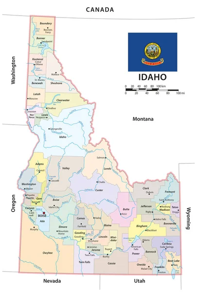
stock vector administrative vector map of the us american state of idaho

Administrative Vector Map Of The Us American State Of Idaho

3100 × 4584
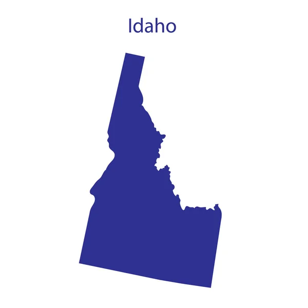
stock image United States, Idaho. Dark blue silhouette of the state on its borders.

United States, Idaho. Dark Blue Silhouette Of The State On Its Borders.

8334 × 8334
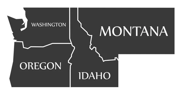
stock vector Washington - Oregon - Idaho - Montana Map labelled black

Washington - Oregon - Idaho - Montana Map Labelled Black

9470 × 5000
stock vector United States, Idaho.

United States, Idaho.

5000 × 5000
stock image Outline map of the state of Idaho isolated

Outline Map Of The State Of Idaho Isolated

3733 × 5008
stock vector Idaho, ID, political map with the capital Boise, borders, important cities, rivers and lakes. State in the Pacific Northwest region of the Western United States of America, nicknamed Gem State. Vector

Idaho, ID, Political Map With The Capital Boise, Borders, Important Cities, Rivers And Lakes. State In The Pacific Northwest Region Of The Western United States Of America, Nicknamed Gem State. Vector

6000 × 9000