Home
Images
Vectors
Videos
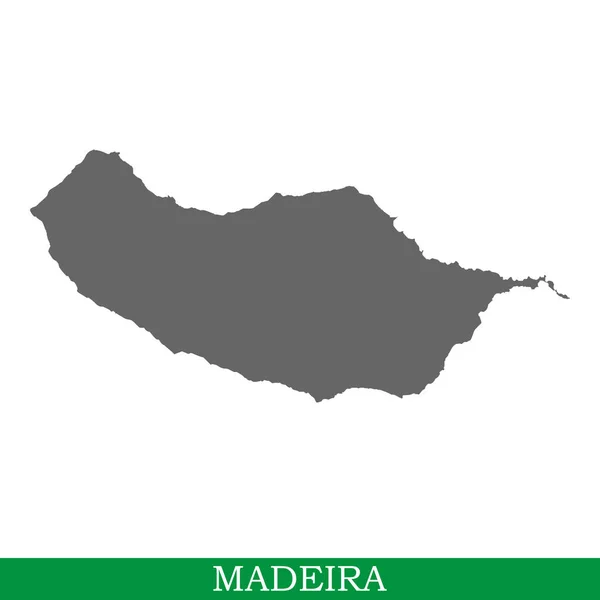
Stock vector Yellow map of Madeira Islands with indication of largest cities
Published:
Apr.17, 2015 11:03:22
Author:
chrupka
Views:
474
Downloads:
0
File type:
vector
/
eps
File size:
1.63 MB
Orginal size:
4200
x
3780
px
Available sizes:
S
(500 x 450)
M
(1000 x 900)
L
(2000 x 1800)
XL
(4200 x 3780)
VECT
(4200 x 3780)
EL0
(4200 x 3780)
Level:
silver
Download Vector
Vector topics:
Yellow
White
Vector
Graphic
Illustration
Isolated
Art
Travel
Summer
Sea
European
Silhouette
Modern
Symbol
Icon
Flat
Education
Earth
Surface
Tourism
Science
Detailed
Europe
South
Vacation
Resort
Outline
Country
Map
Cartography
Geography
Paradise
Land
Mediterranean
Portugal
Borders
Island
Touristic
Atlantic
Eu
Portuguese
Madeira
Archipelago
Funchal
Madeira Island
Madeira Map
Similar stock vectors
Macau, China Geotag With Face Mask, Coronavirus Disease Quarantine Related 3D Rendering
6000 × 4000
Maracaibo, Venezuela Geotag With Face Mask, Coronavirus Disease Self-isolation Related 3D Rendering
6000 × 4000
Vector Map Of The Spanish Autonomous Community Of Extremadura With Main Cities, Spain
3100 × 3290
High Quality Map Of Madeira Is A Island In Portugal
4000 × 4000
Blue Map Of Madeira
4200 × 3780
Porto, Portugal Geotag With Face Mask, Coronavirus Disease Quarantine Related 3D Rendering
6000 × 4000
Recife, Brazil Geotag With Face Mask, COVID-19 Coronavirus Disease Quarantine Related 3D Rendering
6000 × 4000