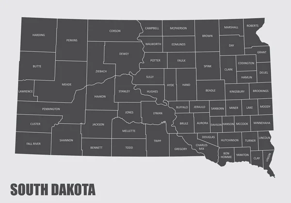
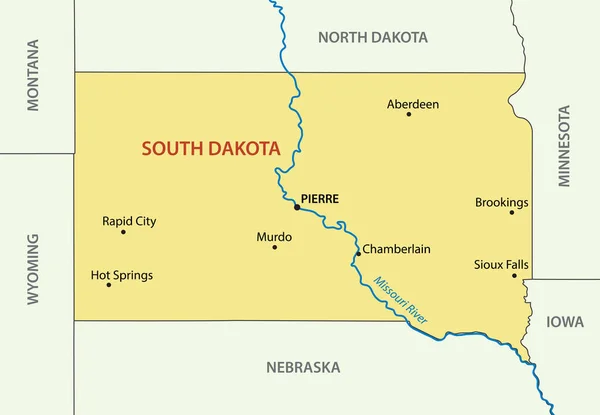
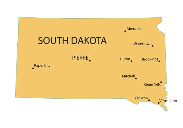
Stock vector Yellow map of South Dakota with indication of largest cities
Published: May.18, 2015 12:08:18
Author: chrupka
Views: 167
Downloads: 6
File type: vector / eps
File size: 1.43 MB
Orginal size: 4800 x 3360 px
Available sizes:
Level: silver