photo free
Home Images Vectors Videos

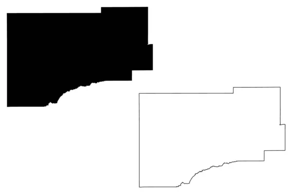
Stock vector Yukon Koyukuk Census Area, Alaska (Boroughs and census areas in Alaska, United States of America,USA, U.S., US) map vector illustration, scribble sketch Yukon Koyukuk map
Stock vector Yukon Koyukuk Census Area, Alaska (Boroughs and census areas in Alaska, United States of America,USA, U.S., US) map vector illustration, scribble sketch Yukon Koyukuk map
Published: Oct.15, 2019 08:08:33
Author: Danler
Views: 0
Downloads: 0
File type: vector / eps
File size: 0.55 MB
Orginal size: 7087 x 4726 px
Available sizes:
S
(500 x 333)
M
(1000 x 667)
L
(2000 x 1334)
XL
(7087 x 4726)
VECT
(7087 x 4726)
EL0
(7087 x 4726)
Level: bronze
Download Vector
Vector topics:

Similar stock vectors

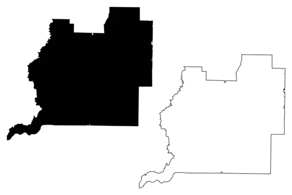
stock vector Lane County, Oregon State (U.S. county, United States of America, USA, U.S., US) map vector illustration, scribble sketch Lane map

Lane County, Oregon State (U.S. County, United States Of America, USA, U.S., US) Map Vector Illustration, Scribble Sketch Lane Map

7087 × 4726
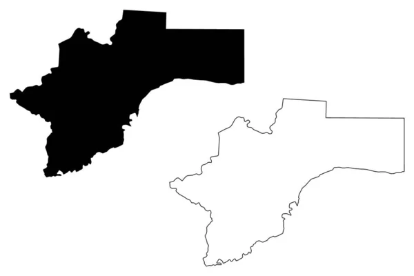
stock vector Barbour County, Alabama (Counties in Alabama, United States of America,USA, U.S., US) map vector illustration, scribble sketch Barbour map

Barbour County, Alabama (Counties In Alabama, United States Of America,USA, U.S., US) Map Vector Illustration, Scribble Sketch Barbour Map

7087 × 4726
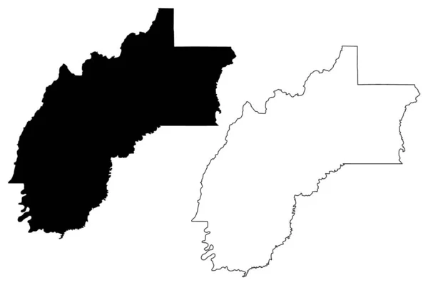
stock vector Washington County, Florida (U.S. county, United States of America, USA, U.S., US) map vector illustration, scribble sketch Washington map

Washington County, Florida (U.S. County, United States Of America, USA, U.S., US) Map Vector Illustration, Scribble Sketch Washington Map

7087 × 4726
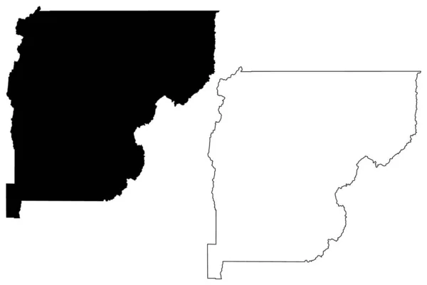
stock vector Otjozondjupa Region (Regions of Namibia, Republic of Namibia) map vector illustration, scribble sketch Otjozondjupa map

Otjozondjupa Region (Regions Of Namibia, Republic Of Namibia) Map Vector Illustration, Scribble Sketch Otjozondjupa Map

7087 × 4726
stock vector Kittitas County, State of Washington (U.S. county, United States of America, USA, U.S., US) map vector illustration, scribble sketch Kittitas map

Kittitas County, State Of Washington (U.S. County, United States Of America, USA, U.S., US) Map Vector Illustration, Scribble Sketch Kittitas Map

7087 × 4726
stock vector Richland County, Louisiana (U.S. county, United States of America, USA, U.S., US) map vector illustration, scribble sketch Richland Parish map

Richland County, Louisiana (U.S. County, United States Of America, USA, U.S., US) Map Vector Illustration, Scribble Sketch Richland Parish Map

7087 × 4726
stock vector Valley County, Idaho (U.S. county, United States of America, USA, U.S., US) map vector illustration, scribble sketch Long Valley map

Valley County, Idaho (U.S. County, United States Of America, USA, U.S., US) Map Vector Illustration, Scribble Sketch Long Valley Map

7087 × 4726
stock vector Webster County, Mississippi (U.S. county, United States of America, USA, U.S., US) map vector illustration, scribble sketch Webster map

Webster County, Mississippi (U.S. County, United States Of America, USA, U.S., US) Map Vector Illustration, Scribble Sketch Webster Map

7087 × 4726