Home
Images
Vectors
Videos
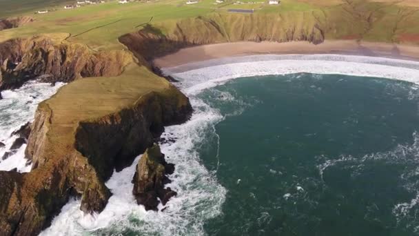
Stock video Flying above Malin Head and the famous World War Eire Markings in County Donegal - Ireland
Published:
Aug.03, 2020 07:21:57
Author:
Lukassek
Views:
1
Downloads:
0
File type:
video
/
mp4
File size:
481.5 MB
Orginal size:
3840
x
2160
px
Available sizes:
SMALLWEB
(320 x 240)
BIGWEB
(640 x 480)
HD720
(1280 x 720)
HD1080
(1920 x 1080)
4K
(3840 x 2160)
Level:
bronze
Download Video
Video topics:
Green
Blue
View
Stone
Day
Travel
Nature
Water
Head
Sea
Walking
Road
Landscape
Tower
Countryside
Culture
Remote
Coast
Coastline
Ocean
Scenic
Tourism
Vacation
Point
Adventure
Ireland
Concrete
Tourist
Forces
Attraction
Dramatic
Marking
Crown
Touristic
Atlantic
Aerial
Defence
British
Rugged
Irish
Meadows
County
Admiralty
Eire
Donegal
Blue Sky
World War
Northernmost
Malin
Malin Head
Similar stock videos
Cars Drive On Road Along The Big Sur
4096 × 2160
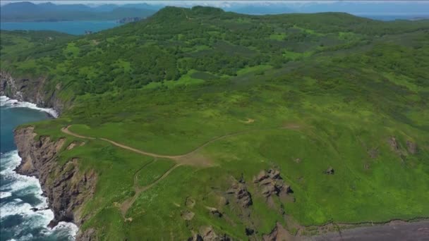
Flying Above Malin Head And The Famous World War Eire Markings In County Donegal - Ireland
3840 × 2160
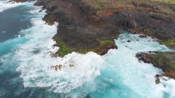
Aerial View Of Scenic Landscape With Ocean And Green Rocky Hills During The Sunny Day. Lombok, Indonesia.
3840 × 2160
Aerial View Of The Beautiful Coast At Malin Beg Looking In County Donegal, Ireland.
3840 × 2160
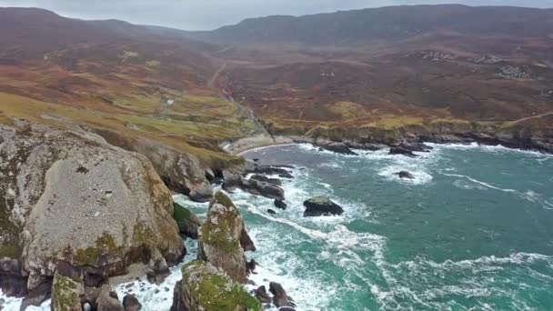
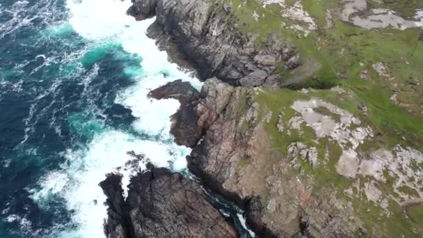
The Amazing Coastline At Port Between Ardara And Glencolumbkille In County Donegal - Ireland
3840 × 2160
Aerial View Of Cliffs And Atlantic Ocean On Tenerife, Drone Shot 4K From Above, Canarias Islands, Spain
3840 × 2160
Aerial Top View Of Waves Break On Rocks In A Blue Ocean. Sea Waves On Beautiful Beach Aerial View Drone 4k Shot. Birds Eye View Of Ocean Waves Crashing Against An Empty Stone Rock Cliff From Above
3840 × 2160