
Stock image Aiga
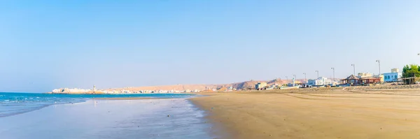


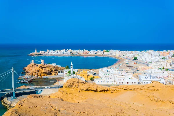
View Of Fishing Boats Anchoring In A Bay In The Omani Town Al Ayjah.
Image, 39.62MB, 17302 × 5568 jpg

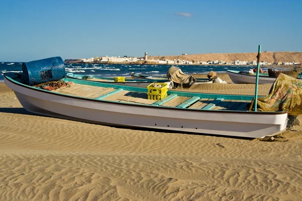
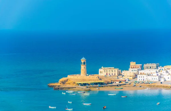
View Of The Al Ayjah Town, Two Watchtowers And A Dhow Under Repair From The Khor Al Batah Bridge In Sur, Oman
Image, 14.46MB, 5910 × 3940 jpg
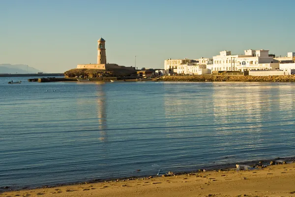
View Of The Al Ayjah Town, Two Watchtowers And A Dhow Under Repair From The Khor Al Batah Bridge In Sur, Oman
Image, 15.71MB, 5885 × 3850 jpg

Aiga I Le Tai District Map, Administrative Division Of Samoa. Vector Illustration.
Vector, 5.32MB, 8334 × 8334 eps


Aiga I Le Tai District Map, Administrative Division Of Samoa. Vector Illustration.
Vector, 5.32MB, 8334 × 8334 eps


Aiga I Le Tai District Map, Administrative Division Of Samoa. Vector Illustration.
Vector, 5.52MB, 8334 × 8334 eps


Page 1 >> Next