photo free
Home Images Vectors Videos

Stock image Ashtabula County

stock image Benetka Road Covered Bridge

Benetka Road Covered Bridge

Image, 9.95MB, 4050 × 2700 jpg
stock image Olins Dewey Road Covered Bridge in Autumn

Olins Dewey Road Covered Bridge In Autumn

Image, 10.92MB, 4200 × 2800 jpg
stock image Rainbow and Conneaut Light

Rainbow And Conneaut Light

Image, 5.37MB, 4500 × 3000 jpg
stock image Early Morning at Conneaut Lighthouse

Early Morning At Conneaut Lighthouse

Image, 2.32MB, 3923 × 2600 jpg
stock image Beautiful Autumn Morning

Beautiful Autumn Morning

Image, 7.9MB, 3456 × 2253 jpg
stock image Long Covered Bridge

Long Covered Bridge

Image, 7.96MB, 3456 × 2155 jpg
stock image Netcher Covered Bridge

Netcher Covered Bridge

Image, 8.09MB, 4050 × 2700 jpg
stock image Covered Bridge

Covered Bridge

Image, 6.41MB, 3456 × 2178 jpg
stock image Covered bridge

Covered Bridge

Image, 5.96MB, 3456 × 2304 jpg
stock image Historic Covered Bridge

Historic Covered Bridge

Image, 3.31MB, 3195 × 2099 jpg
stock image Map of ashtabula County in Ohio state on white background. single County map highlighted by black colour on Ohio map. UNITED STATES, US

Map Of Ashtabula County In Ohio State On White Background. Single County Map Highlighted By Black Colour On Ohio Map. UNITED STATES, US

Image, 5.59MB, 8000 × 8000 jpg
stock image Top down view of Doyle road Covered bridge in Ashtabula county, Ohio.

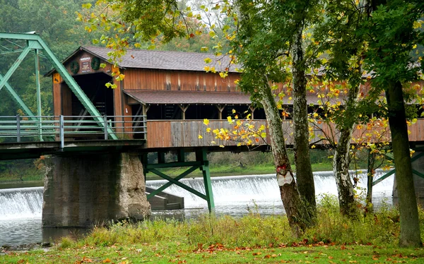
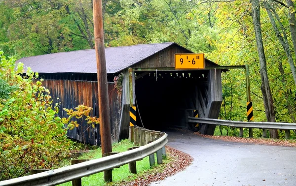
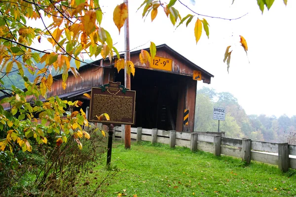
Top Down View Of Doyle Road Covered Bridge In Ashtabula County, Ohio.

Image, 9.74MB, 4267 × 3200 jpg
Page 1 >> Next