
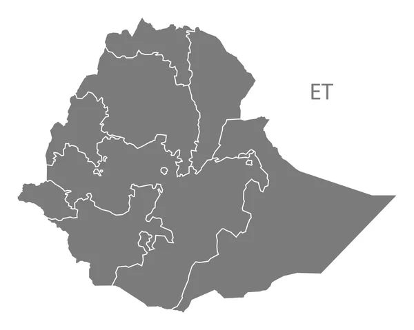
Stock image Ethiopia Administrative
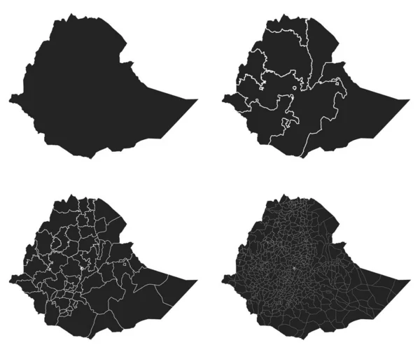
Ethiopia Vector Maps With Administrative Regions, Municipalities, Departments, Borders
Vector, 25.24MB, 4984 × 4180 eps

Landscape And Arid Desert Hills Of Countryside Of Dire Dawa, Ethiopia, Africa
Image, 6.17MB, 4200 × 2800 jpg
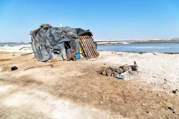

In Ethiopia Africa The Hut In The Saline Work Place Poverty And Work
Image, 16.58MB, 5760 × 3840 jpg

Shape Of Tigray, State Of Ethiopia, With Its Capital Isolated On A Solid Color Background. Composition Of Patterned Textures. 3D Rendering
Image, 9MB, 3836 × 2930 jpg
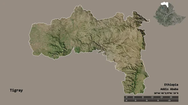
Shape Of Tigray, State Of Ethiopia, With Its Capital Isolated On Solid Background. Distance Scale, Region Preview And Labels. Satellite Imagery. 3D Rendering
Image, 2.35MB, 2880 × 1620 jpg
Vector Map Ethiopia. Isolated Vector Illustration. Black On White Background. EPS 10 Illustration.
Vector, 0.56MB, 5000 × 5000 eps


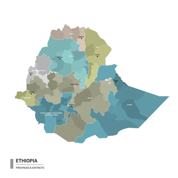
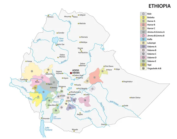
Ethiopia Higt Detailed Map With Subdivisions. Administrative Map Of Ethiopia With Districts And Cities Name, Colored By States And Administrative Districts. Vector Illustration With Editable And Labelled Layers.
Vector, 1.27MB, 4000 × 4000 eps
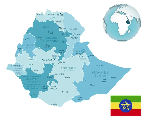
Ethiopia Administrative Blue-green Map With Country Flag And Location On A Globe.
Vector, 9.09MB, 6254 × 5190 eps


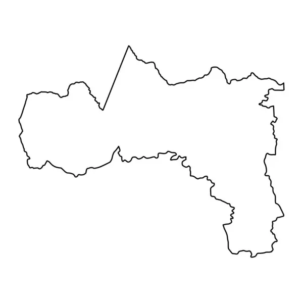
Tigray Region Map, Administrative Division Of Ethiopia. Vector Illustration.
Vector, 5.4MB, 8334 × 8334 eps

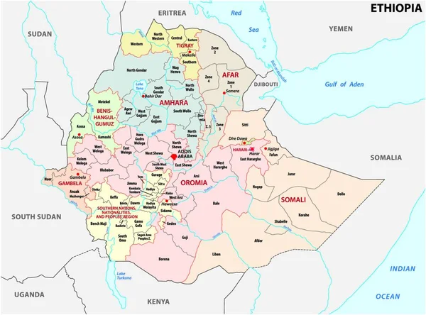
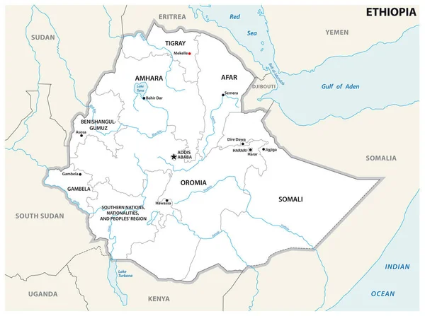
Ethiopia - Detailed Map With Administrative Divisions Country. Vector Illustration
Vector, 1.68MB, 5668 × 5603 eps

Locator Map Showing The Location Of The Country Ethiopia In Africa. The Country Is Highlighted With A Red Polygon. No Labels At All. Made With Natural Earth.
Vector, 1.14MB, 6660 × 5830 eps


Amhara, State Of Ethiopia. Colored Elevation Map With Lakes And Rivers
Image, 9.26MB, 3840 × 2880 jpg

Tigray Region Map, Administrative Division Of Ethiopia. Vector Illustration.
Vector, 5.4MB, 8334 × 8334 eps

Detailed Map Of Ethiopia With Country Flag And Location On World Map. Vector Illustration
Vector, 3.73MB, 5161 × 6723 eps

Locator Map Showing The Location Of The Country Ethiopia In Africa. The Country Is Highlighted With A Red Polygon. Small Countries Are Also Marked With A Red Circle.
Vector, 4.77MB, 2400 × 2400 eps
Page 1 >> Next