
Stock image Henry Map
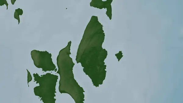
Henry Lawrence Island In The Andaman Or Burma Sea On A Colored Elevation Map
Image, 0.93MB, 2880 × 1620 jpg

Henry Lawrence Island In The Andaman Or Burma Sea, Belonging To India, Isolated On A Topographic, OSM Humanitarian Style Map, With Distance Scale
Image, 0.35MB, 2160 × 2160 jpg

Henry Lawrence Island In The Andaman Or Burma Sea, Belonging To India, Isolated On A Bilevel Elevation Map, With Distance Scale
Image, 0.29MB, 2160 × 2160 jpg

Map Of Henry County In Georgia State On White Background. Single County Map Highlighted By Black Colour On Georgia Map. UNITED STATES, US
Image, 6.6MB, 8000 × 8000 jpg

Henry Lawrence Island In The Andaman Or Burma Sea - Belonging To India. Described Location Diagram With Yellow Shape Of The Island And Sample Maps Of Its Surroundings
Image, 2.13MB, 3840 × 2160 jpg

Henry Lawrence Island In The Andaman Or Burma Sea On A Satellite Image Taken In April 15, 2023
Image, 4.71MB, 2880 × 1620 jpg
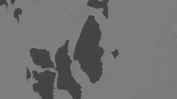
Henry Lawrence Island In The Andaman Or Burma Sea On A Bilevel Elevation Map
Image, 0.38MB, 2880 × 1620 jpg
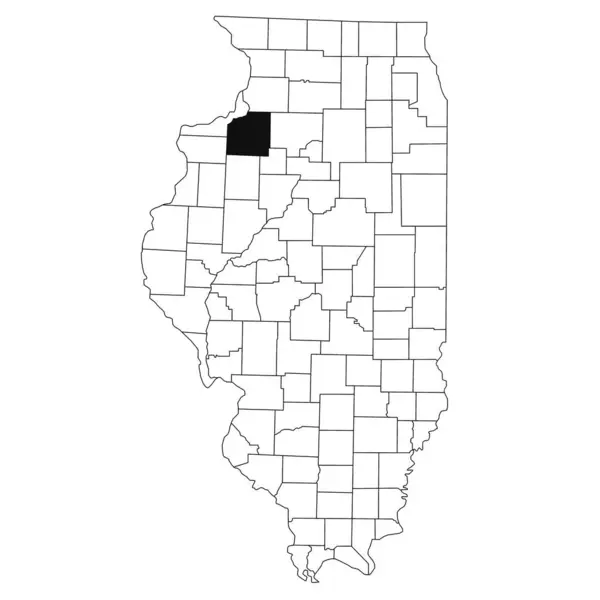
Map Of Henry County In Illinois State On White Background. Single County Map Highlighted By Black Colour On Illinois Map. UNITED STATES, US
Image, 5.2MB, 8000 × 8000 jpg

Map Of Henry County In Virginia State On White Background. Single County Map Highlighted By Black Colour On Virginia Map. UNITED STATES, US
Image, 4.45MB, 8000 × 5334 jpg

Map Of Henry County In Ohio State On White Background. Single County Map Highlighted By Black Colour On Ohio Map. UNITED STATES, US
Image, 5.59MB, 8000 × 8000 jpg

Henry Lawrence Island In The Andaman Or Burma Sea On A Topographic, OSM Humanitarian Style Map
Image, 0.6MB, 2880 × 1620 jpg

Henry Lawrence Island In The Andaman Or Burma Sea, Belonging To India, Isolated On A Satellite Image Taken In February 14, 2023, With Distance Scale
Image, 1.13MB, 2160 × 2160 jpg
Page 1 >> Next