
Stock image Kerala Outline Maps
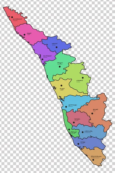
Kerala Map With All The 14 Districts Highlighted In Different Colours. Names Of The Respective Districts Are Given In Malayalam And English Languages.
Vector, 1.32MB, 5461 × 8192 eps

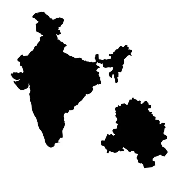
Vector Map India. Isolated Vector Illustration. Black On White Background. EPS 10 Illustration.
Vector, 0.38MB, 5000 × 5000 eps
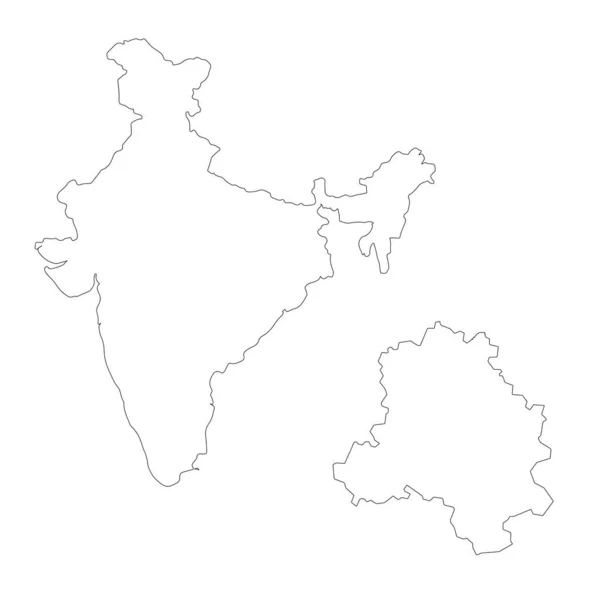
Isolated Vector Illustration. Black On White Background. EPS 10 Illustration
Vector, 0.8MB, 10000 × 10000 eps
Isolated Vector Illustration. Black On White Background. EPS 10 Illustration
Vector, 0.47MB, 10000 × 10000 eps

Page 1 >> Next