photo free
Home Images Vectors Videos

Stock image Lafayette Map Vector

stock vector Milwaukee and Lafayette (La Fayette) County, State of Wisconsin (U.S. county, United States of America, US) map vector illustration, scribble sketch map

Milwaukee And Lafayette (La Fayette) County, State Of Wisconsin (U.S. County, United States Of America, US) Map Vector Illustration, Scribble Sketch Map

Vector, 0.62MB, 7087 × 4726 eps
stock vector Detailed map of the Mississippi River Delta in the US state of Louisiana

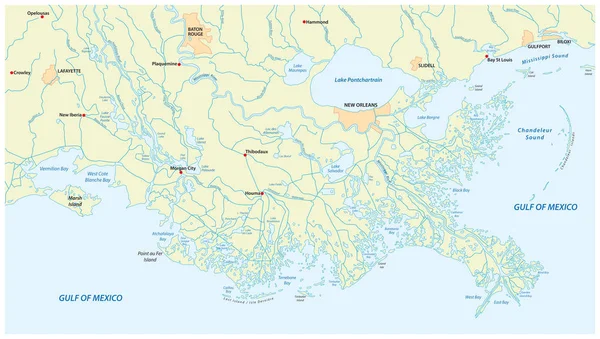
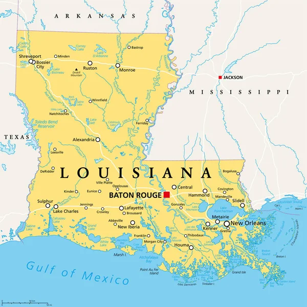
Detailed Map Of The Mississippi River Delta In The US State Of Louisiana

Vector, 2.13MB, 5484 × 3100 eps
stock vector Florida's congressional disctricts vector map with cityscapes of capital and major cities of Florida

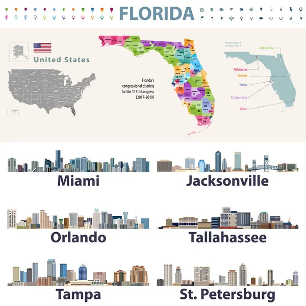
Florida's Congressional Disctricts Vector Map With Cityscapes Of Capital And Major Cities Of Florida

Vector, 11.72MB, 8333 × 8333 eps
stock vector Louisiana County Map

Louisiana County Map

Vector, 1.12MB, 5000 × 5000 ai
stock vector The black and white Louisiana State County Maps

The Black And White Louisiana State County Maps

Vector, 8.32MB, 3504 × 6204 eps
stock vector Indiana County Map

Indiana County Map

Vector, 0.84MB, 3336 × 5000 ai
stock vector The Louisiana State County Map with labels

The Louisiana State County Map With Labels

Vector, 9.49MB, 5000 × 4600 eps
stock vector Louisiana, LA, political map, with capital Baton Rouge and metropolitan area New Orleans. State in Deep South and South Central regions of the United States, nicknamed Pelican, Bayou and Creole State.

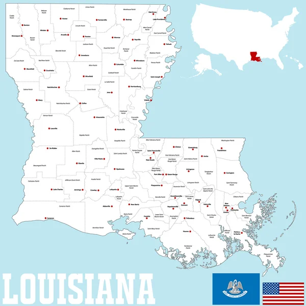
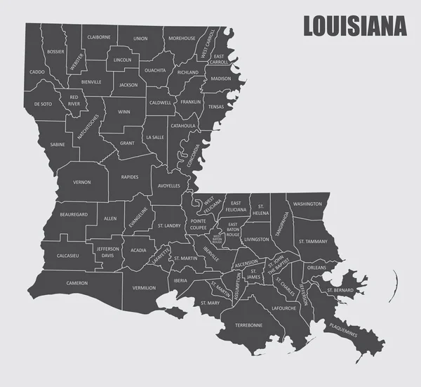
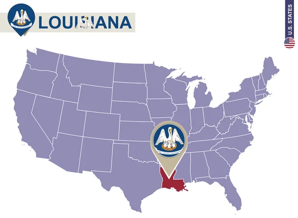
Louisiana, LA, Political Map, With Capital Baton Rouge And Metropolitan Area New Orleans. State In Deep South And South Central Regions Of The United States, Nicknamed Pelican, Bayou And Creole State.

Vector, 7.18MB, 6000 × 6000 eps
stock vector Louisiana County Map

Louisiana County Map

Vector, 0.97MB, 5000 × 5000 ai
stock vector Indiana, IN, political map, with the capital Indianapolis, and most important cities, rivers and lakes. State in the Midwestern region of the United States of America, nicknamed The Hoosier State.

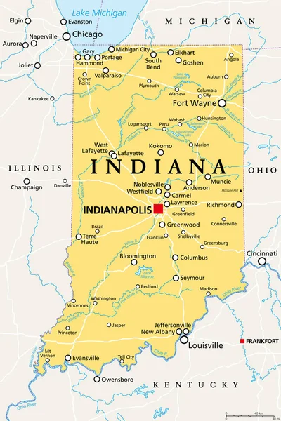
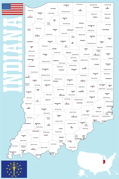
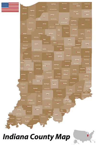
Indiana, IN, Political Map, With The Capital Indianapolis, And Most Important Cities, Rivers And Lakes. State In The Midwestern Region Of The United States Of America, Nicknamed The Hoosier State.

Vector, 3.4MB, 6000 × 9000 eps
stock vector 2017 Solar Eclipse Across Tennessee Cities Map vector Illustration

2017 Solar Eclipse Across Tennessee Cities Map Vector Illustration

Vector, 1.08MB, 7593 × 3225 eps
stock vector Louisiana State on USA Map. Louisiana flag and map.

Louisiana State On USA Map. Louisiana Flag And Map.

Vector, 1.93MB, 5000 × 3663 eps
stock vector Indiana County Map

Indiana County Map

Vector, 0.89MB, 3337 × 5000 ai
stock vector Map of Lafayette in Mississippi

Map Of Lafayette In Mississippi

Vector, 0.25MB, 4000 × 5000 eps
stock vector Label set with names of Louisiana cities

Label Set With Names Of Louisiana Cities

Vector, 0.89MB, 4252 × 4252 eps
Page 1 >> Next