
Stock image Linyi Map

Cropped View Of Woman Pointing At Laptop With Map On Screen Near Man Holding Glasses
Image, 17.5MB, 7177 × 4790 jpg

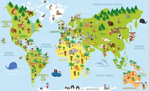
Funny Cartoon World Map With Childrens Of Different Nationalities, Animals And Monuments Of All The Continents And Oceans. Names In Spanish.
Vector, 13.76MB, 9000 × 5500 eps

Selective Focus Of Binoculars Near Map And Learn To Travel And Travel To Learn Letters On White
Image, 6.93MB, 4913 × 7360 jpg

Funny Cartoon World Map With Traditional Animals Of All The Continents And Oceans. Vector Illustration.
Vector, 8.91MB, 9000 × 5500 eps

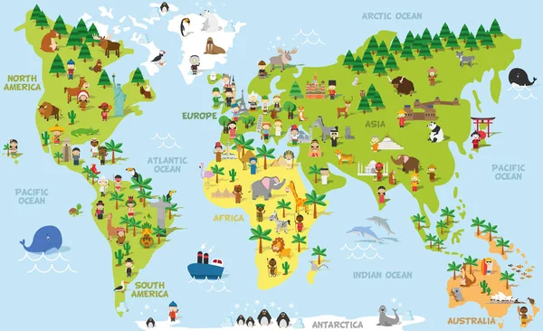
Funny Cartoon World Map With Childrens Of Different Nationalities, Animals And Monuments Of All The Continents And Oceans. Vector Illustration.
Vector, 13.69MB, 9000 × 5500 eps

Top View Of Vintage Map And Coconuts On Wooden Surface With "learn To Travel And Travel To Learn" Lettering
Image, 2.76MB, 4887 × 7361 jpg

A Young Woman In Her 20s Holds A Small Globe In Her Hand, Symbolizing Her Connection To The World And Global Awareness.
Image, 17.72MB, 7360 × 4912 jpg
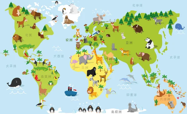
Funny Cartoon World Map In Chinese With Traditional Animals Of All The Continents And Oceans. Vector Illustration For Preschool Education And Kids Design
Vector, 3.69MB, 9000 × 5500 eps

Teens Simulate UN Meeting To Learn About Global Issues And Diplomacy.
Image, 18.74MB, 8256 × 5504 jpg

Funny Cartoon World Map In Japanese With Traditional Animals Of All The Continents And Oceans. Vector Illustration For Preschool Education And Kids Design
Vector, 3.83MB, 9000 × 5500 eps


Funny Cartoon World Map In German With Traditional Animals Of All The Continents And Oceans. Vector Illustration For Preschool Education And Kids Design
Vector, 4.14MB, 9000 × 5500 eps

Teenagers Participate In A UN Model Conference, Engaging In Lively Discussion And Debate.
Image, 10.34MB, 8256 × 2562 jpg
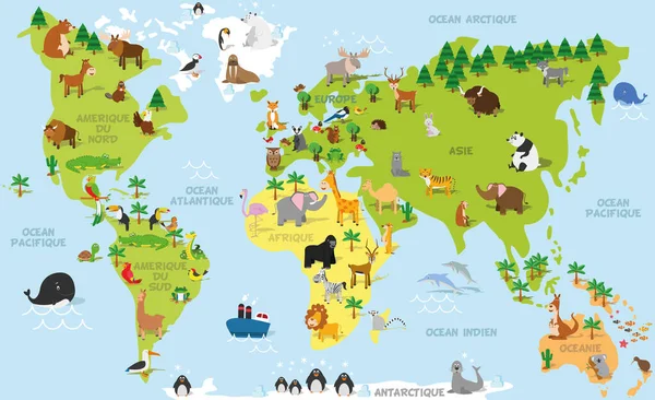
Funny Cartoon World Map In French With Traditional Animals Of All The Continents And Oceans. Vector Illustration For Preschool Education And Kids Design
Vector, 4.12MB, 9000 × 5500 eps

Funny Cartoon World Map In Russian With Traditional Animals Of All The Continents And Oceans. Vector Illustration For Preschool Education And Kids Design
Vector, 3.82MB, 9000 × 5500 eps
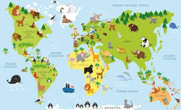
Funny Cartoon World Map In Spanish With Traditional Animals Of All The Continents And Oceans. Vector Illustration For Preschool Education And Kids Design
Vector, 4.14MB, 9000 × 5500 eps
World Map With Different Animal. Funny Cartoon Banner For Children With The Continents, Oceans And Lot Of Funny Animals. Materials For Kids Preschool Education
Vector, 1.1MB, 6569 × 4400 eps

Funny Cartoon World Map With Childrens Of Different Nationalities, Animals And Monuments Of All The Continents And Oceans. Names In French. Vector Illustration For Preschool Education And Kids Design.
Vector, 8.9MB, 9000 × 5500 eps

Funny Cartoon World Map With Childrens Of Different Nationalities, Animals And Monuments Of All The Continents And Oceans. Names In Japanese. Vector Illustration For Preschool Education And Kids Design.
Vector, 8.6MB, 9000 × 5500 eps

Funny Cartoon World Map With Childrens Of Different Nationalities, Animals And Monuments Of All The Continents And Oceans. Names In Chinese. Vector Illustration For Preschool Education And Kids Design.
Vector, 8.46MB, 9000 × 5500 eps

Funny Cartoon World Map With Childrens Of Different Nationalities, Animals And Monuments Of All The Continents And Oceans. Names In Russian. Vector Illustration For Preschool Education And Kids Design.
Vector, 8.6MB, 9000 × 5500 eps
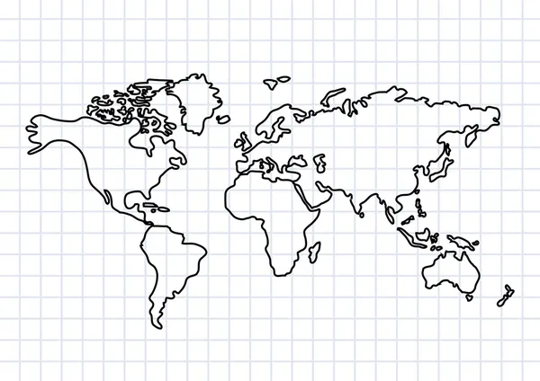
Physical Blank World Map Vector Illustration Isolated On White Background
Vector, 3.47MB, 5600 × 3400 eps

Funny Cartoon Map Of Europe In Chinese With Childrens Of Different Nationalities, Representative Monuments, Animals And Objects Of All The Countries. Vector Illustration For Preschool Education And Kids Design.
Vector, 20.39MB, 8700 × 6000 eps

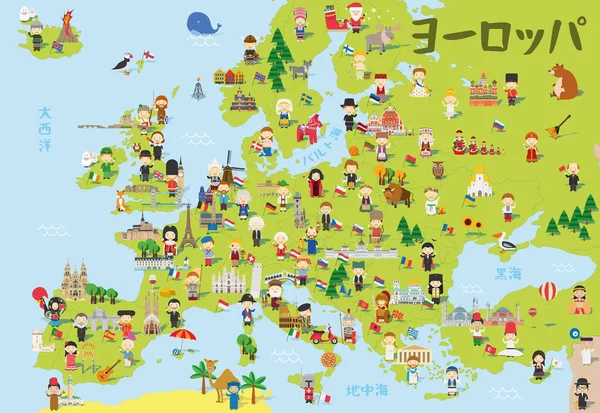
Funny Cartoon Map Of Europe With Childrens Of Different Nationalities, Representative Monuments, Animals And Objects Of All The Countries. Vector Illustration For Preschool Education And Kids Design.
Vector, 25.5MB, 8700 × 6000 eps

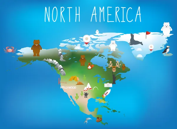
Vector Illustration World Map For Children. Continents America Europe Asia Africa
Vector, 0.69MB, 7000 × 4392 eps

Funny Cartoon Animal World Map For Children With The Continents, Oceans And Lot Of Funny Animals. Vector Illustration For Preschool Education In Kids Design. Cartoon Animals For Kids
Vector, 1.08MB, 7000 × 4392 eps


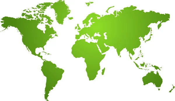
Physical World Map Vector Illustration With Cities, Countries And International Borders
Vector, 8.68MB, 5600 × 3400 eps
Funny Cartoon Map Of Europe In Japanese With Childrens Of Different Nationalities, Representative Monuments, Animals And Objects Of All The Countries. Vector Illustration For Preschool Education And Kids Design.
Vector, 20.46MB, 8700 × 6000 eps


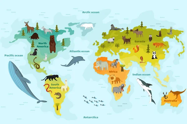
.Cartoon World Map For Kids Nursery With Forest Animals. Children Geography Education With Europe, Asia, Australia And America Vector Poster
Vector, 5.04MB, 6566 × 3808 eps


World Map With Different Animal. Funny Cartoon Banner For Children With The Continents, Oceans And Lot Of Funny Animals. Materials For Kids Preschool Education
Vector, 1.06MB, 6569 × 4400 eps

World Map Illustration On Blue Background, Geography. Continents And World Ocean. Globe World Vector Detailed Maps. Vector Graphics For Design Projects And Presentations, Informative Scoreboard
Vector, 6.93MB, 5000 × 3356 eps
Page 1 >> Next