photo free
Home Images Vectors Videos

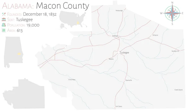
Stock image Macon Vector Map

stock vector Georgia, GA, political map, with capital Atlanta and largest cities. State in the southeastern region of the United States of America. Peach State. Empire State of the South.  Illustration. Vector.

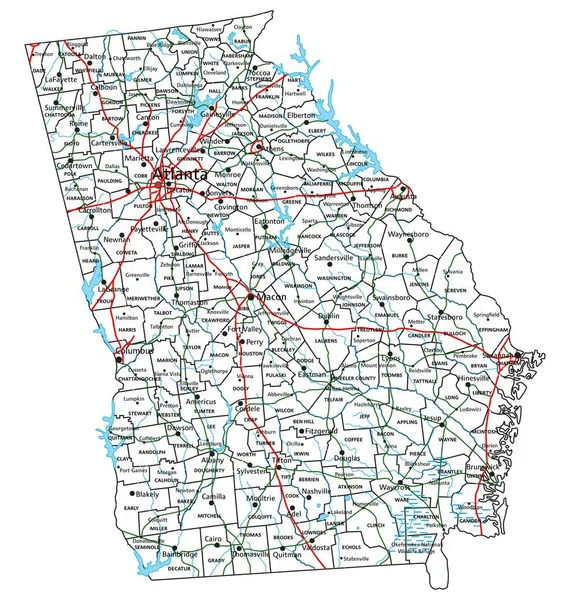
Georgia, GA, Political Map, With Capital Atlanta And Largest Cities. State In The Southeastern Region Of The United States Of America. Peach State. Empire State Of The South. Illustration. Vector.

Vector, 5.5MB, 6000 × 6000 eps
stock vector Georgia map

Georgia Map

Vector, 4.46MB, 3803 × 5502 eps
stock vector Alabama

Alabama

Vector, 0.74MB, 3600 × 5000 ai
stock vector Georgia - flat collection of US states flags.

Georgia - Flat Collection Of US States Flags.

Vector, 3.07MB, 7519 × 5251 eps
stock vector Large and detailed map of Macon county in Alabama, USA.

Large And Detailed Map Of Macon County In Alabama, USA.

Vector, 2.23MB, 5000 × 3000 ai
stock vector Tuskegee Alabama with green background

Tuskegee Alabama With Green Background

Vector, 0.21MB, 6589 × 5101 eps
stock vector Georgia County Map

Georgia County Map

Vector, 1.11MB, 5000 × 5000 ai
stock vector Map of Burgundy

Map Of Burgundy

Vector, 1.86MB, 3887 × 4115 ai
stock vector Macon County in Alabama USA

Macon County In Alabama USA

Vector, 1.18MB, 4167 × 5000 ai
stock vector Map of Burgundy

Map Of Burgundy

Vector, 0.85MB, 3754 × 4672 ai
stock vector georgia ga state map shape with flag

Georgia Ga State Map Shape With Flag

Vector, 2.96MB, 4490 × 4726 eps
stock vector Colorful Georgia political map with clearly labeled, separated layers. Vector illustration.

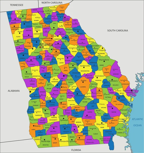
Colorful Georgia Political Map With Clearly Labeled, Separated Layers. Vector Illustration.

Vector, 8.11MB, 4489 × 4758 eps
stock vector Large and detailed map of Bibb County in Georgia, USA.

Large And Detailed Map Of Bibb County In Georgia, USA.

Vector, 1.58MB, 5000 × 3200 ai
stock vector High detailed Georgia physical map with labeling.

High Detailed Georgia Physical Map With Labeling.

Vector, 9.43MB, 4489 × 4758 eps
stock vector Large and detailed map of Bibb County in Georgia USA.

Large And Detailed Map Of Bibb County In Georgia USA.

Vector, 1.82MB, 5000 × 3200 ai
stock vector Georgia road and highway map. Vector illustration.

Georgia Road And Highway Map. Vector Illustration.

Vector, 9.04MB, 4485 × 4752 eps
stock vector Map of Bibb County in Georgia, USA arranged in a circle.

Map Of Bibb County In Georgia, USA Arranged In A Circle.

Vector, 0.46MB, 5000 × 5000 ai
stock vector Large and accurate map of Bibb County, Georgia, USA with vintage colors.

Large And Accurate Map Of Bibb County, Georgia, USA With Vintage Colors.

Vector, 2.77MB, 4500 × 4501 ai
stock vector Georgia counties, political map. State in the Southeastern region of the United States, subdivided into 159 counties. Nicknamed Peach State, and Empire State of the South. Map with county names.

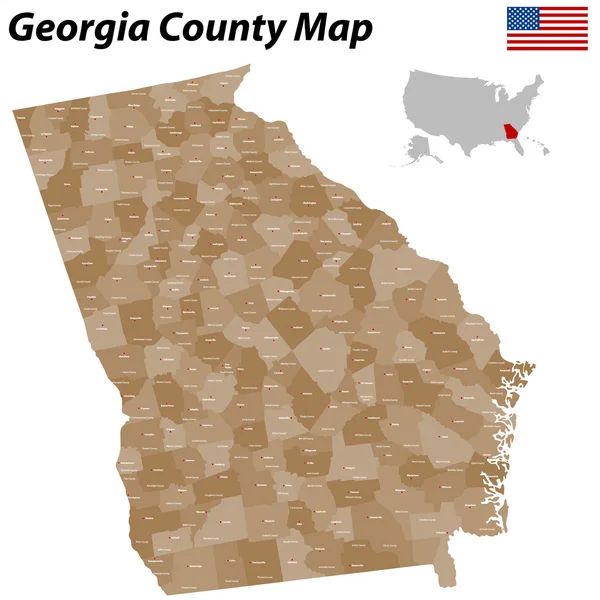
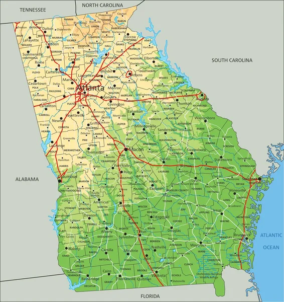
Georgia Counties, Political Map. State In The Southeastern Region Of The United States, Subdivided Into 159 Counties. Nicknamed Peach State, And Empire State Of The South. Map With County Names.

Vector, 3.92MB, 6000 × 6936 eps
stock vector Detailed infographic and map of Bibb County in Georgia USA.

Detailed Infographic And Map Of Bibb County In Georgia USA.

Vector, 1.59MB, 5000 × 4000 ai
stock vector Georgia counties, gray political map. State in the Southeastern region of the United States, subdivided into 159 counties. Nicknamed Peach State, and Empire State of the South. Map with county names.

Georgia Counties, Gray Political Map. State In The Southeastern Region Of The United States, Subdivided Into 159 Counties. Nicknamed Peach State, And Empire State Of The South. Map With County Names.

Vector, 3.21MB, 6000 × 6909 eps
Page 1 >> Next