
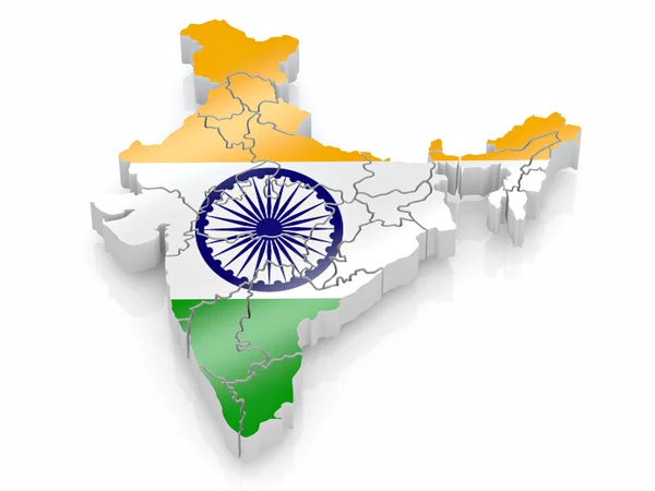
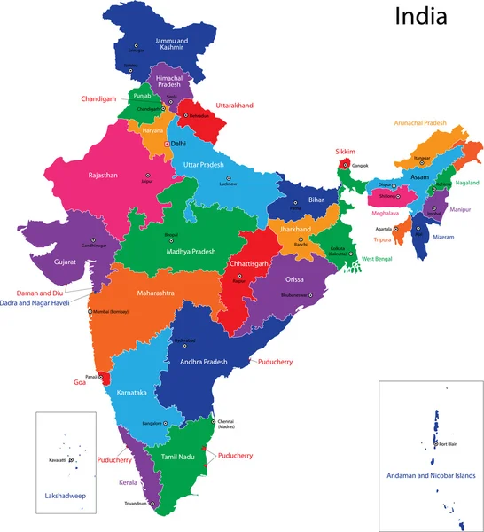
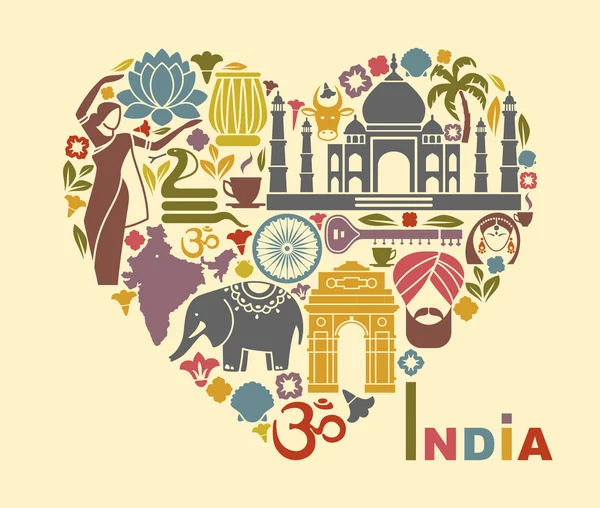
Stock image Map Of India
Map Of Surat, Gujarat, Satellite View, Black And White Map. Street Directory And City Map. India
Vector, 4.25MB, 10296 × 10335 eps


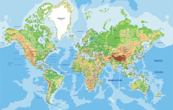
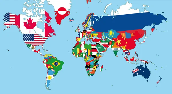
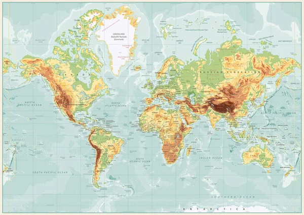
Eurasia Europa Russia China India Indonesia Thailand Africa Map - Vector Illustration
Vector, 7.35MB, 8700 × 5150 eps

India Map Country Poster With Colored Regions Old Grunge Texture Vector Illustration Of India
Vector, 9.3MB, 1991 × 2528 eps
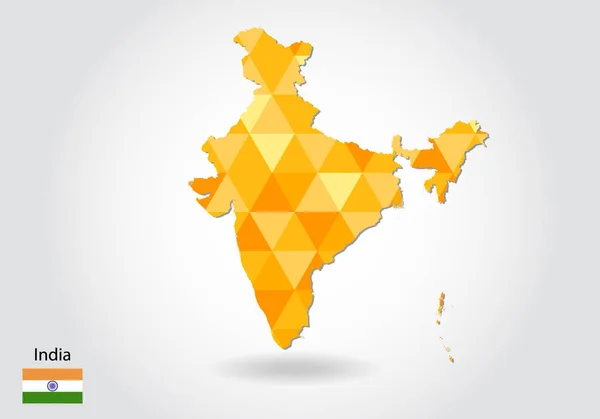
Geometric Polygonal Style Vector Map Of India. Low Poly Map Of India. Colorful Polygonal Map Shape Of India On White Background - Vector Illustration Eps 10.
Vector, 1.04MB, 5003 × 3502 eps
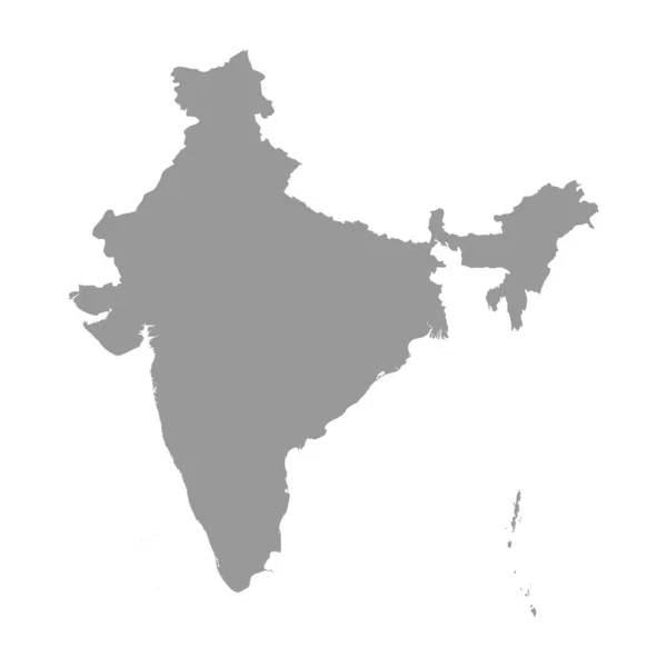


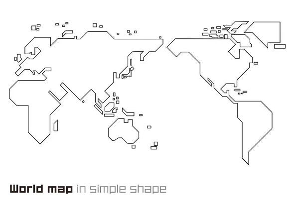
India Country Simplified Map. Thin Black Outline Contour. Simple Vector Icon
Vector, 0.29MB, 8000 × 8000 eps

India Country Simplified Map.Thin Triple Pencil Sketch Outline Isolated On White Background. Simple Vector Icon
Vector, 0.27MB, 8000 × 8000 eps


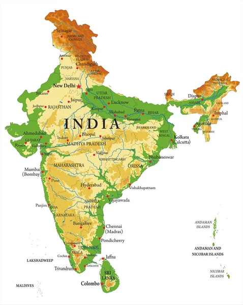
India Highly Detailed Physical Map,in Vector Format,with All The Relief Forms,regions And Big Cities.
Vector, 4.29MB, 3983 × 5000 eps

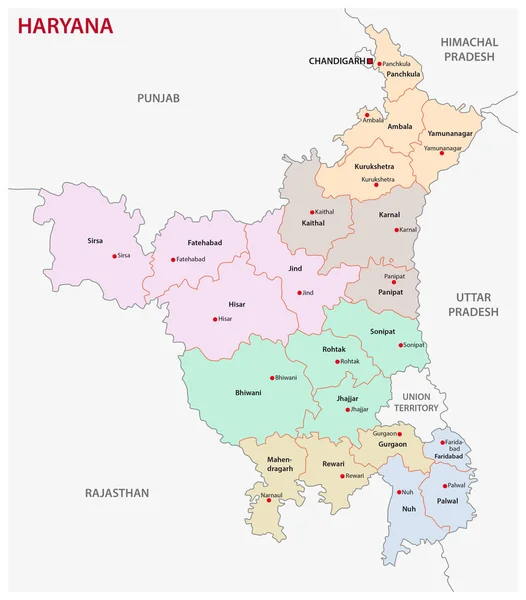

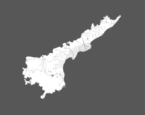
India States - Map Of Andhra Pradesh. Hand Made. Rivers And Lakes Are Shown. Please Look At My Other Images Of Cartographic Series - They Are All Very Detailed And Carefully Drawn By Hand WITH RIVERS AND LAKES.
Vector, 6.43MB, 7939 × 6298 eps
Page 1 >> Next