
Stock image Mollweide
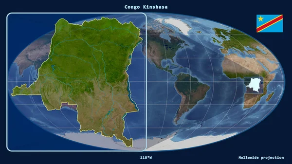
Zoomed-in View Of Congo Kinshasa Outline With Perspective Lines Against A Global Map In The Mollweide Projection. Shape On The Left Side. Satellite Imagery
Image, 3.24MB, 2880 × 1620 jpg
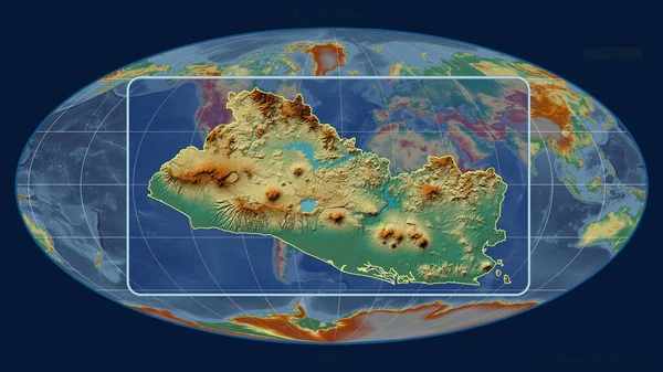
Zoomed-in View Of El Salvador Outline With Perspective Lines Against A Global Map In The Mollweide Projection. Shape Centered. Topographic Relief Map
Image, 3.32MB, 2880 × 1620 jpg
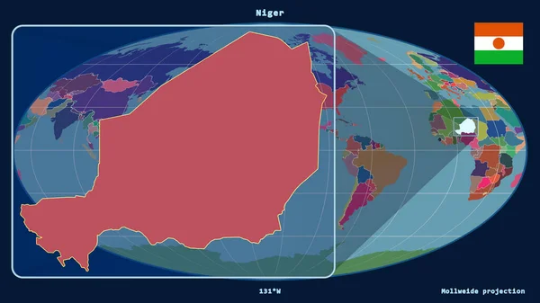
Zoomed-in View Of Niger Outline With Perspective Lines Against A Global Map In The Mollweide Projection. Shape On The Left Side. Color Map Of Administrative Divisions
Image, 1.52MB, 2880 × 1620 jpg
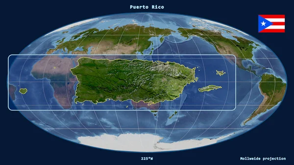
Zoomed-in View Of Puerto Rico Outline With Perspective Lines Against A Global Map In The Mollweide Projection. Shape On The Left Side. Satellite Imagery
Image, 3.14MB, 2880 × 1620 jpg

Zoomed-in View Of Kosovo Outline With Perspective Lines Against A Global Map In The Mollweide Projection. Shape Centered. Color Map Of Administrative Divisions
Image, 1.49MB, 2880 × 1620 jpg

World Map In The Mollweide Projection Centered On 90 West Longitude. Mean Annual Precipitation Map - Raw Composite Of Raster With Graticule. 3D Illustration
Image, 2.8MB, 4000 × 2000 jpg
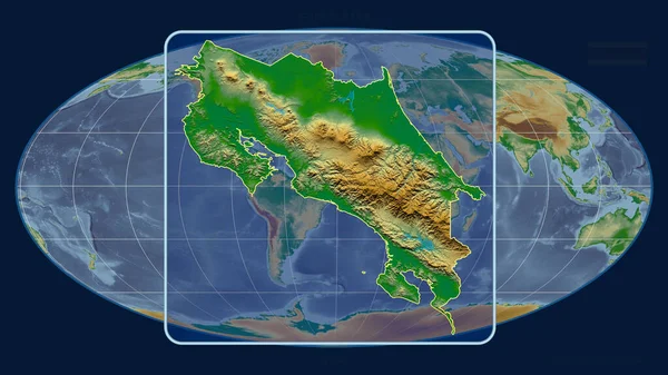
Zoomed-in View Of Costa Rica Outline With Perspective Lines Against A Global Map In The Mollweide Projection. Shape Centered. Color Physical Map
Image, 3.31MB, 2880 × 1620 jpg

Zoomed-in View Of Taiwan Outline With Perspective Lines Against A Global Map In The Mollweide Projection. Shape Centered. Topographic Relief Map
Image, 3.26MB, 2880 × 1620 jpg

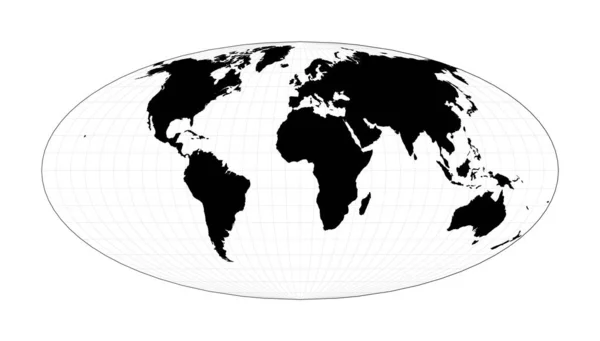
World Map In Polygonal Style Mollweide Projection Interrupted Into Two Hemispheres Of The World
Vector, 1.13MB, 6773 × 4456 eps

Map Of The World Goodes Interrupted Mollweide Projection Globe With Latitude And Longitude Lines
Vector, 1.8MB, 5864 × 5142 eps

Map Of The World Mollweide Projection Interrupted Into Two Equalarea Hemispheres Globe With
Vector, 1.8MB, 5864 × 5142 eps

Zoomed-in View Of South Africa Outline With Perspective Lines Against A Global Map In The Mollweide Projection. Shape Centered. Color Physical Map
Image, 3.04MB, 2880 × 1620 jpg

Zoomed-in View Of Jamaica Outline With Perspective Lines Against A Global Map In The Mollweide Projection. Shape On The Left Side. Topographic Relief Map
Image, 3.31MB, 2880 × 1620 jpg
EPS10 Vector World Map. Equal-area, Pseudocylindrical Mollweide Projection. Plan World Geographical Map With Graticlue Lines. Vector Illustration.
Vector, 1.38MB, 7272 × 4140 eps
Page 1 >> Next