
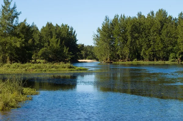
Stock image Nepean River

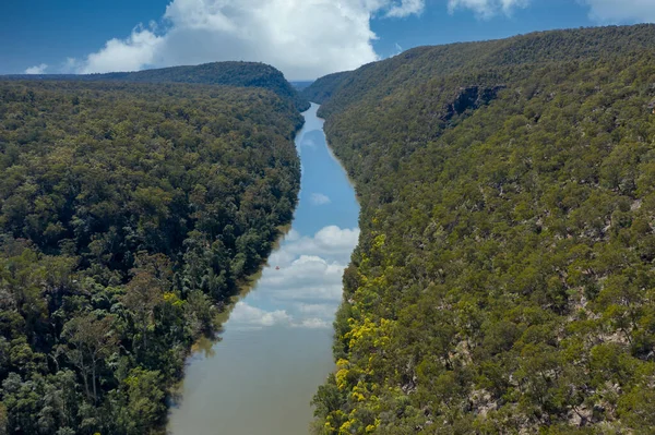
The Nepean River Running Through Forest In Regional New South Wales In Australia
Image, 12.49MB, 5464 × 3640 jpg
The Nepean River Running Through Forest In Regional New South Wales In Australia
Image, 13.12MB, 5464 × 3640 jpg
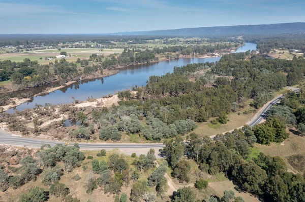
Drone Aerial Photograph Of The Nepean River And Road After Severe Flooding In Yarramundi Reserve In The Hawkesbury Region Of New South Wales In Australia
Image, 11.91MB, 5371 × 3578 jpg

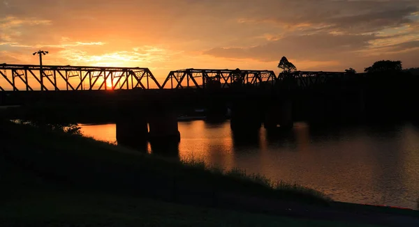
Sunset And Silhouettes At Nepean River Penrith With Views To The Historic Wrought Iron Box Plate Girder Victoria Bridge
Image, 0MB, 4800 × 2617 jpg
Beautiful Sunset At Emu Plains By The Nepean River, Penrith Bracketed Exposure With Nd Filter
Image, 0MB, 5616 × 3744 jpg

Drone Aerial Photograph Of Severe Flooding Of The Nepean River And Flood Plain In Penrith In New South Wales In Australia
Image, 11.08MB, 5272 × 2962 jpg

Sackville, NSW, Australia - 9 March 2022. Aerial View Of The Hawkesbury River In Flood Over Roads And Farmland In Outer Rural Sydney.
Image, 10.59MB, 5464 × 3640 jpg

Penrith, NSW, Australia - 9 May 2021. Aerial View Of The Nepean Belle Paddlewheeler On The Nepean River At Penrith. The 'Belle' Has Been Cruising These Waters Since 1982 And Was Inspired By Mississippi Sternwheelers.
Image, 12.9MB, 5464 × 3640 jpg

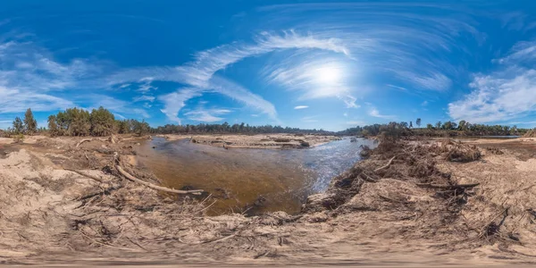
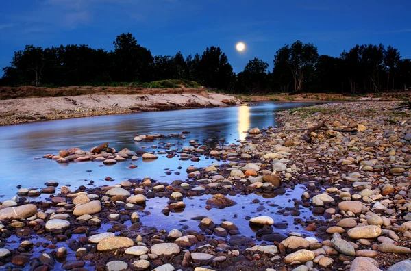
Spherical Panoramic Photograph Of A Large Livestock Centre In Regional New South Wales In Australia
Image, 9.9MB, 7296 × 3648 jpg
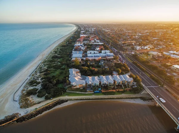
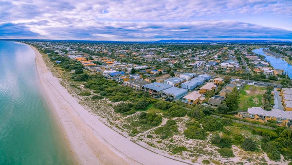
Aerial View Of Patterson Lakes Suburb, Nepean Highway, And Coastline At Sunrise. Melbourne, Victoria, Australia.
Image, 1.76MB, 3565 × 2655 jpg
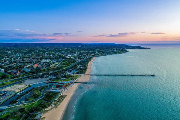
Aerial View Of Frankston Waterfront And Mornington Peninsula Coastline At Dusk In Melbourne, Australia
Image, 4.52MB, 5172 × 3446 jpg

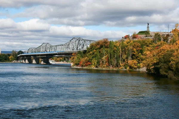
Panoramic View Of Downtown Ottawa And The Parliament Of Canada. Taken From Nepean Point, Ontario, Canada.
Image, 12.04MB, 9177 × 3593 jpg


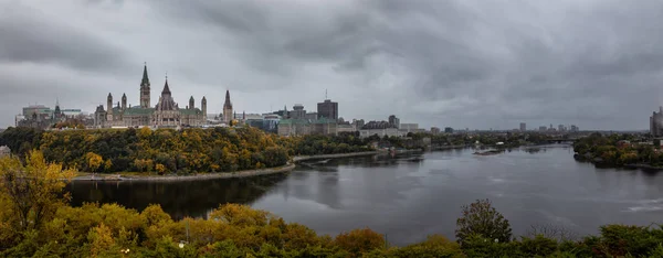
Ottawa, Ontario, Canada - September 30, 2018: Panoramic View Of Downtown Ottawa And The Parliament Of Canada.
Image, 11.49MB, 8732 × 3578 jpg

Panoramic View Of Downtown Ottawa And The Parliament Of Canada. Taken From Nepean Point, Ontario, Canada.
Image, 10.99MB, 7934 × 3595 jpg

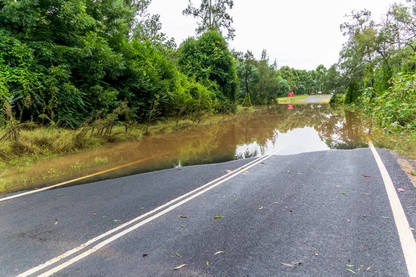
Photograph Of Water Across A Road Due To Severe Flooding In The Hawkesbury Nepean River System In The Hawkesbury Region Of New South Wales In Australia.
Image, 17.62MB, 5884 × 3923 jpg
Page 1 >> Next