
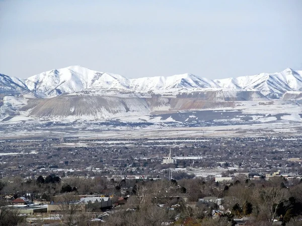
Stock image Oquirrh Mountains
Panorama Of Oquirrh Mountain Range Which Includes The Bingham Canyon Mine Or Kennecott Copper Mine, Rumored The Largest Open Pit Copper Mine In The World In Salt Lake Valley, Utah. USA.
Image, 28.03MB, 29979 × 3504 jpg
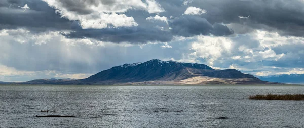
Beautiful View Of Snow Covered Loafer Mountain With Dramatic Clouds In The Sky, Utah Lake State Park, Provo Utah
Image, 32.52MB, 19933 × 6024 jpg
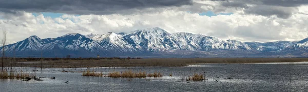
Beautiful View Of Snowcapped Lake Mountains With Dramatic Clouds In The Sky, Utah Lake State Park, Provo Utah
Image, 31.79MB, 13191 × 5565 jpg
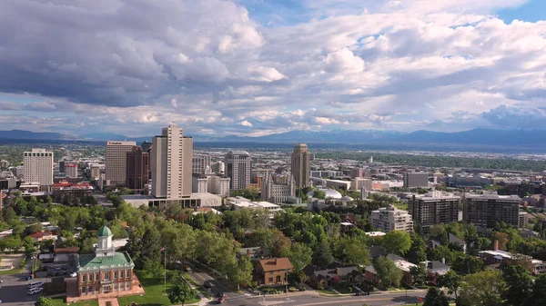
Aerial View Flying Towards Downtown Salt Lake City Utah Past The Capitol Viewing Temple Square.
Image, 1.74MB, 3840 × 2160 jpg
Rotating Aerial View Looking At Downtown Salt Lake City Utah And Temple Square.
Image, 1.92MB, 3840 × 2160 jpg
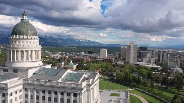
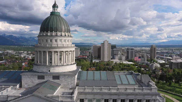
Aerial View Flying Over The Capitol Building Towards Downtown Salt Lake City Utah Viewing The Wasatch Mountains.
Image, 1.65MB, 3840 × 2160 jpg
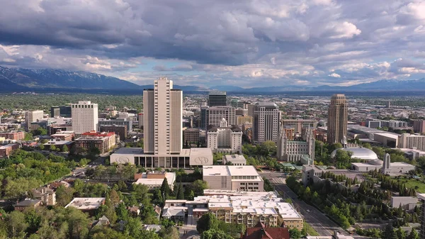
Aerial View Flying Toward Downtown Salt Lake City Utah Viewing Temple Square.
Image, 1.49MB, 3840 × 2160 jpg
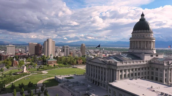
Aerial View Of Downtown Salt Lake City While Flying Past The Capitol Building Moving Past The Dome.
Image, 1.55MB, 3840 × 2160 jpg
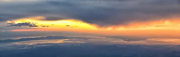
Great Salt Lake Sunset Aerial View From Airplane In Wasatch Rocky Mountain Range, Sweeping Cloudscape And Landscape During Day Time In Spring. In Utah, United States.
Image, 8.92MB, 12028 × 3831 jpg


Great Salt Lake Sunset Aerial View From Airplane In Wasatch Rocky Mountain Range, Sweeping Cloudscape And Landscape During Day Time In Spring. In Utah, United States.
Image, 6.63MB, 4000 × 6000 jpg

Great Salt Lake Sunset Aerial View From Airplane In Wasatch Rocky Mountain Range, Sweeping Cloudscape And Landscape During Day Time In Spring. In Utah, United States.
Image, 8.89MB, 4000 × 6000 jpg

Square Puffy Clouds At Sunset Panoramic View Of Oquirrh Lake With Reflective Water At Daybreak, Utah. There Are Large Residential Buildings And Mountains On The Right At The Back.
Image, 1.46MB, 2000 × 2000 jpg
Page 1 >> Next