
Stock image Peterborough Map
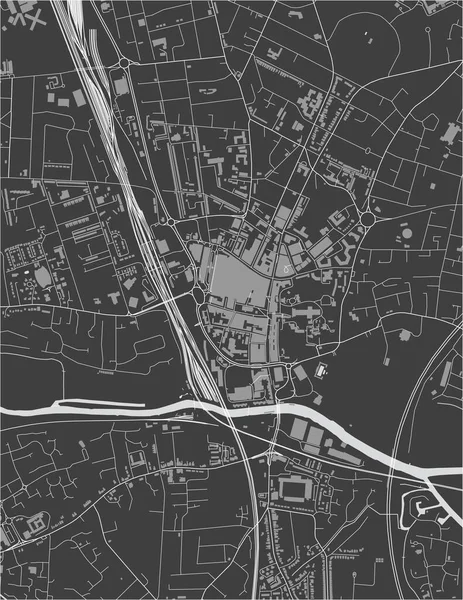
Vector Map Of The City Of Peterborough, Cambridgeshire, East Of England, England, UK
Vector, 2.98MB, 3751 × 4854 eps
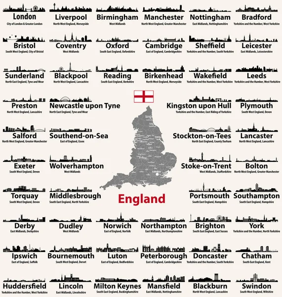
England Major Cities Abstract Skylines Silhouettes Icons. Map Of England With All Major Cities And Administrative Divisions Borders
Vector, 12.05MB, 8334 × 8751 eps

England Major Cities Abstract Skylines Outline Icons. Map Of England With All Major Cities And Administrative Divisions Borders
Vector, 13.16MB, 8334 × 9376 eps

The Cambridgeshire County Isolated Map Divided In Districts With Labels, England
Vector, 8.31MB, 4500 × 5000 eps

Peterborough County (Canada, Ontario Province, North America) Map Vector Illustration, Scribble Sketch Peterborough Map
Vector, 1.69MB, 7087 × 4726 eps

Symbol Map Of The Unitary Authority Peterborough (United Kingdom) Showing The State/province With A Pattern Of Black Squares Like A Chessboard
Vector, 0.6MB, 6000 × 3748 eps
Page 1 >> Next