
Stock image Sierra Nevada Range

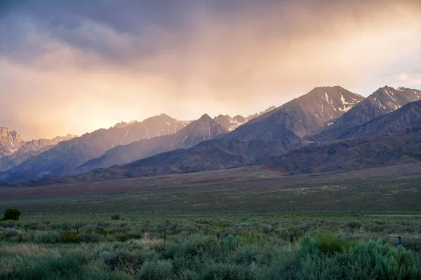
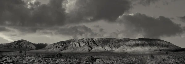
Mountain Range During Clouded Storm Colorful Sunset , Eastern Sierra Mountains, Mono County, California, USA
Image, 8.44MB, 6000 × 4000 jpg
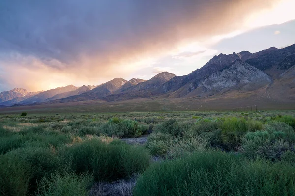
Mountain Range Colorful Sunset With Clouds Before Storm , Eastern Sierra Mountains, Mono County, California, USA
Image, 10.81MB, 6000 × 4000 jpg
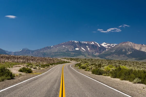
The Sierra Nevada Mountain Viewed From Highway 6 Between Tonopah And Basalt, Nevada, United States
Image, 9.18MB, 5945 × 3344 jpg
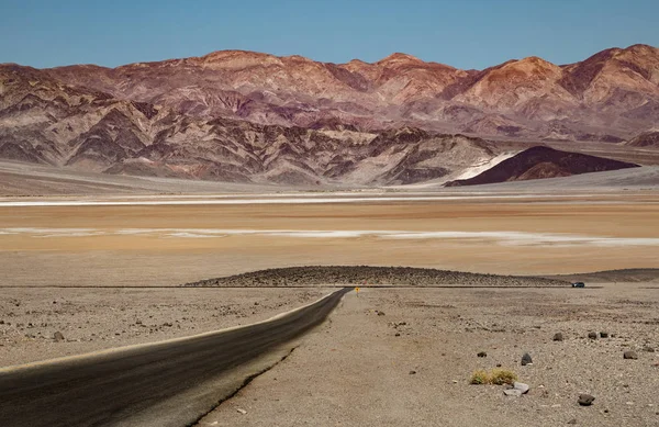
Death Valley National Park Is On The California Nevada Border, East Of The Sierra Nevada. Protecting The Northwest Corner Of The Mojave Desert And Its Diverse Environment Of Salt-flats, Sand Dunes, Badlands, Valleys, Canyons, And Mountains. Death
Image, 15.81MB, 5040 × 3269 jpg
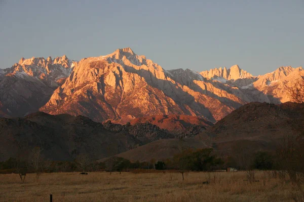
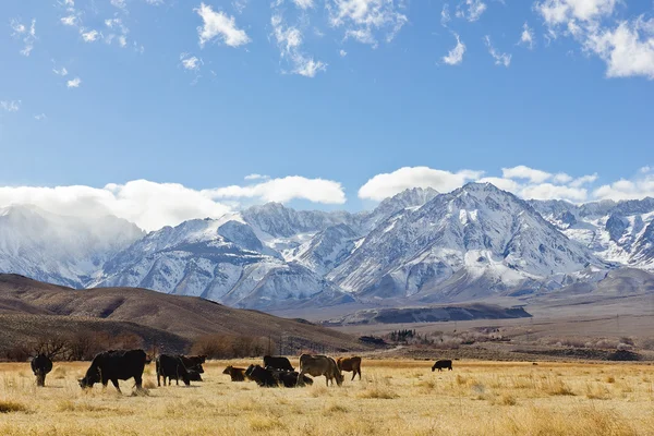
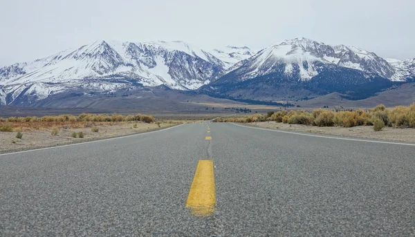
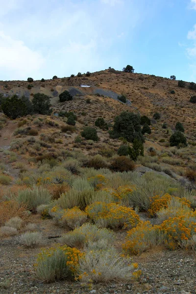
Snow-covered Mountain Tops In The Distance. The Sierra Nevada Is A Mountain Range In The Western United States.
Image, 5.17MB, 3413 × 2276 jpg

Sierra Nevada Mountains, Mt. Whitney In The Middle, The Highest Summit In The Contiguous United States With An Elevation Of 14,505 Feet (4,421 M), California, USA
Image, 14.45MB, 5184 × 2656 jpg


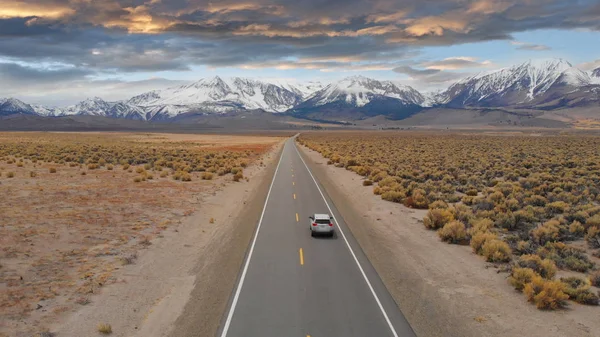
AERIAL: Large SUV Drives Down The Empty Highway Leading To The Spectacular Rockies. Flying Above Interstate Running Through The Picturesque Rugged Countryside In Nevada. Breathtaking Mountain Range.
Image, 4.75MB, 3840 × 2160 jpg

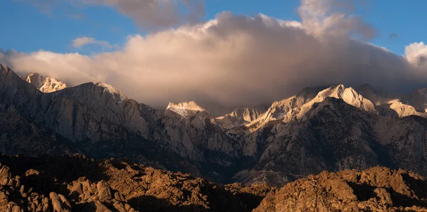
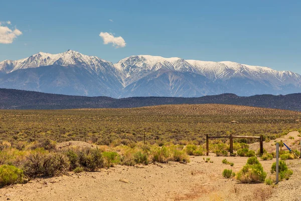
Snowy Peaks Of Sierra Nevada Mountains On The Route 167/359 From California To Nevada, USA
Image, 16.98MB, 5000 × 3337 jpg

LOW ANGLE: Spectacular View Of The Majestic Rockies And Empty Asphalt Highway Leading Through The Rugged Wilderness In Nevada. Straight Interstate Route Running Towards The Breathtaking Mountains.
Image, 9.99MB, 5472 × 3132 jpg
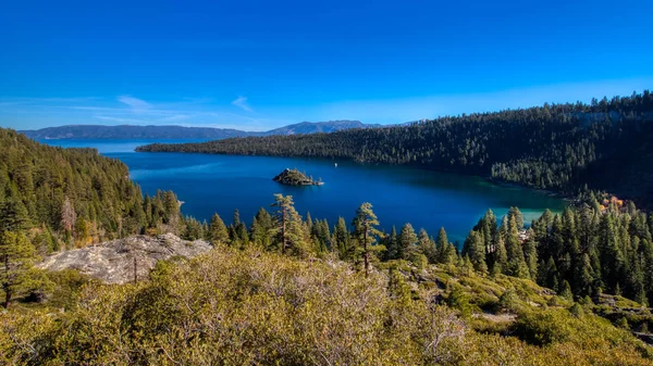
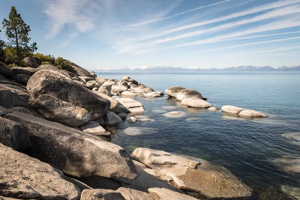
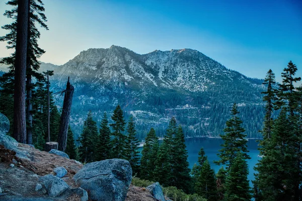
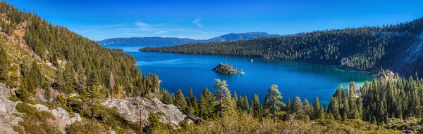
Stunning Panoramic View Of Emerald Bay And Fannette Island From A Scenic Overlook At Emerald Bay State Park, South Lake Tahoe, California
Image, 16.38MB, 6240 × 3510 jpg
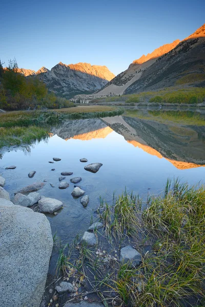
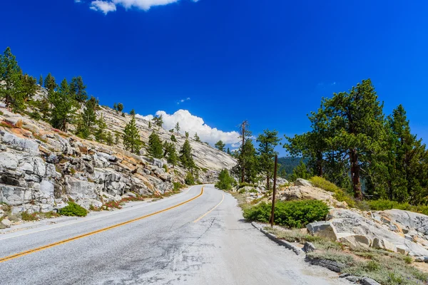
Mountain Pass, From Which The Clouds Over The Valley Can Be Seen, In The Sierra Nevada, California, USA. The Sierra Nevada Is A Mountain Range In The Western United States.
Image, 7.54MB, 4096 × 2731 jpg


Sunset View From The Eagle Rock At Lake Tahoe And Nearby Road, California, With Sierra Nevada Mountains In The Background.
Image, 14.58MB, 6048 × 4024 jpg
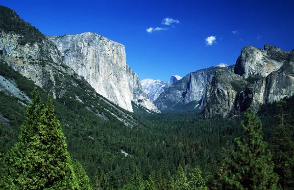
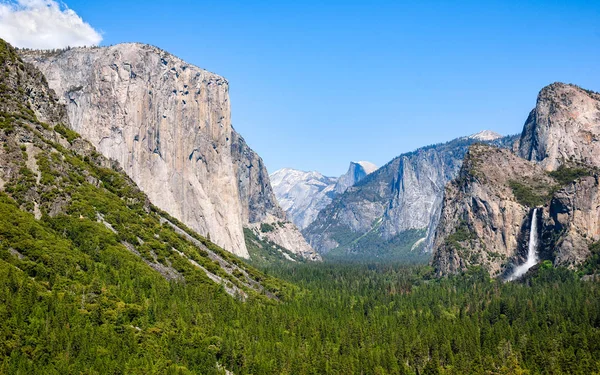
Yosemite National Park, Sierra Nevada, California, USA. Forest And Mountains
Image, 10.87MB, 6655 × 4318 jpg


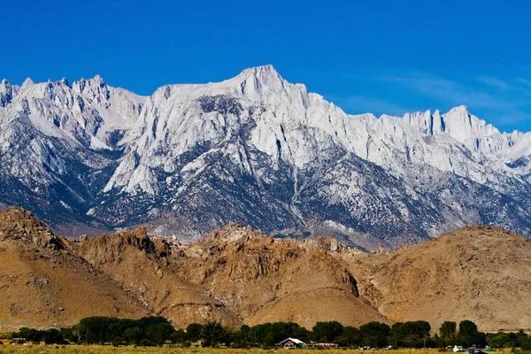
Sierra Nevada Mountains, Mt. Whitney In The Middle, The Highest Summit In The Contiguous United States With An Elevation Of 14,505 Feet (4,421 M), California, USA
Image, 19.8MB, 5184 × 3456 jpg
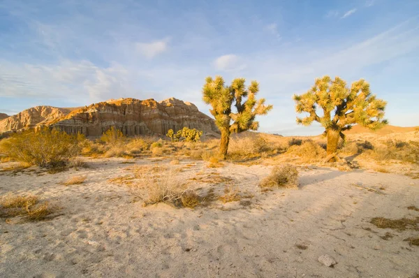
Red Cliffs Natural Preserve (Red Rock Canyon, CA) Featuring Joshua Trees (Yucca Brevifolia)
Image, 0MB, 4251 × 2823 jpg

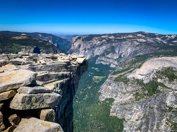
The Visor Is A Small Overhanging Ledge At Half Dome Summit, Yosemite Natinoal Park, California
Image, 10.19MB, 4032 × 3024 jpg

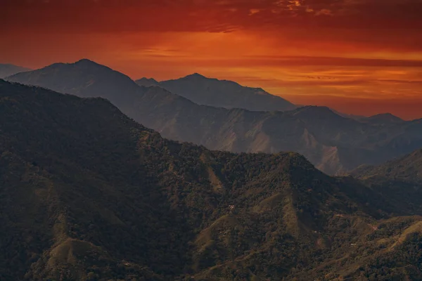
Sunrise Over The Mountains Of The Sierra Nevada De Santa Marta On The Way To Lost City
Image, 4.78MB, 3500 × 2333 jpg
Stunning View Of Jakes Peak Towering Above Emerald Bay At Sunset From Inspiration Point Scenic Overlook, South Lake Tahoe, California
Image, 22.41MB, 6228 × 4146 jpg

Ubehebe Crater Is A Large Volcanic Crater Located At The North Tip Of The Cottonwood Mountains
Image, 0MB, 1700 × 2500 jpg
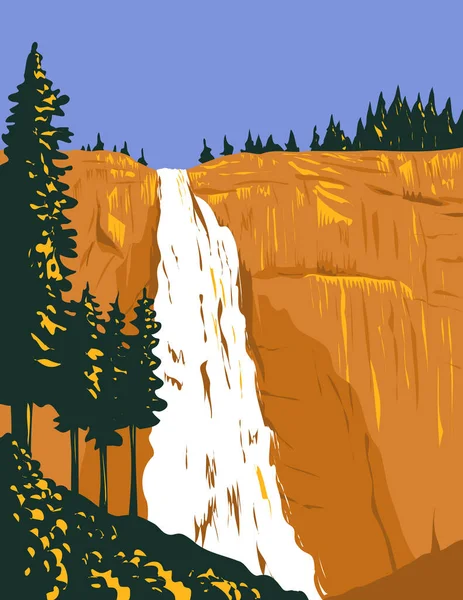
WPA Poster Art Of Nevada Falls On The Merced River Below Granite Dome Liberty Cap West Of Little Yosemite Valley In Yosemite National Park, California USA Done In Works Project Administration Style.
Vector, 1.64MB, 3825 × 4950 eps

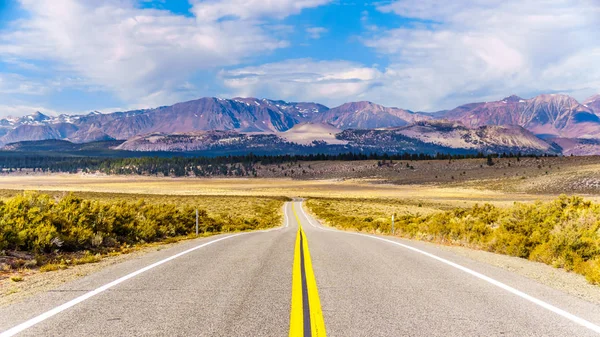
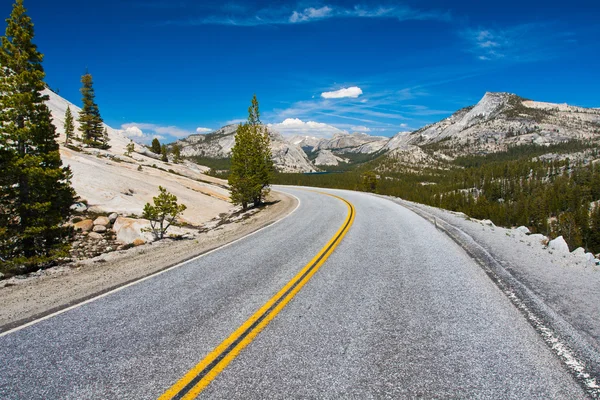
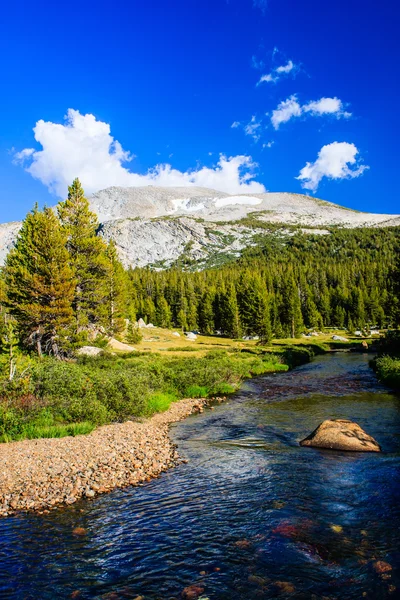
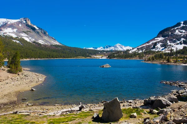
The Tioga Pass With An Elevation Of 3,031m Crosses The Rugged Sierra Nevada Mountains At The East Entrance To Yosemite National Park, California, United States
Image, 8.68MB, 6000 × 3375 jpg
Stunning Panoramic View Of Emerald Bay And Fannette Island From A Scenic Overlook At Emerald Bay State Park, South Lake Tahoe, California
Image, 41.75MB, 12076 × 3854 jpg

Page 1 >> Next