photo free
Home Images Vectors Videos

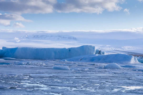
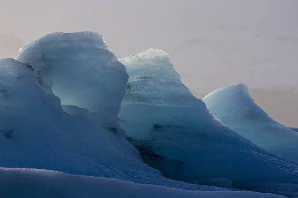
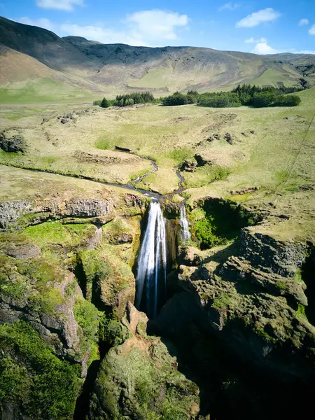
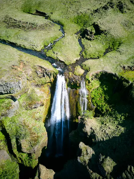
Stock image South Central Iceland

stock image Skogafoss Waterfall. Iceland

Skogafoss Waterfall. Iceland

Image, 9.62MB, 3840 × 5760 jpg
stock image black sand basalt beach and cliffs

Black Sand Basalt Beach And Cliffs

Image, 12.34MB, 5760 × 3840 jpg
stock image Gullfoss waterfall

Gullfoss Waterfall

Image, 2.76MB, 2816 × 1880 jpg
stock image Eruption of Geyser

Eruption Of Geyser "Strokkur" In Iceland

Image, 6.42MB, 3633 × 5449 jpg
stock image Ice lake in Iceland winter season

Ice Lake In Iceland Winter Season

Image, 4.9MB, 3500 × 2333 jpg
stock image Jokulsarlon glacier lagoon with snow covered mountain background

Jokulsarlon Glacier Lagoon With Snow Covered Mountain Background

Image, 5.43MB, 3800 × 2534 jpg
stock image Iceland. South area. Golden Circle. Geyser. Thermal spring.

Iceland. South Area. Golden Circle. Geyser. Thermal Spring.

Image, 15.37MB, 5616 × 3744 jpg
stock image Iceberg, Ice formation, details of ice from the Jokulsarlon

Iceberg, Ice Formation, Details Of Ice From The Jokulsarlon

Image, 10.07MB, 5655 × 3770 jpg
stock image Jokulsarlon Glacial Lagoon, Vatnajokull, Iceland

Jokulsarlon Glacial Lagoon, Vatnajokull, Iceland

Image, 10.58MB, 5682 × 3788 jpg
stock image Iceland. South area. Golden Circle. Hot water hole nearby Geysyr

Iceland. South Area. Golden Circle. Hot Water Hole Nearby Geysyr

Image, 15.75MB, 5616 × 3744 jpg
stock image Iceland. South area. Golden Circle. Strokkur geyser. 12.13 movement.

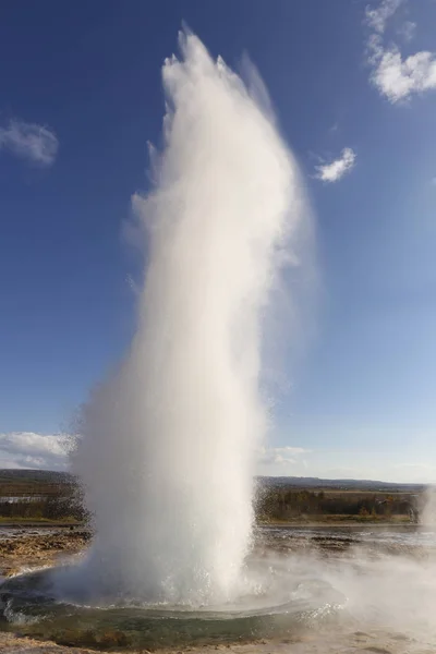
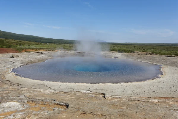
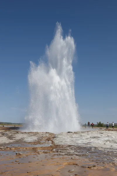
Iceland. South Area. Golden Circle. Strokkur Geyser. 12.13 Movement.

Image, 12.68MB, 3744 × 5616 jpg
stock image Iceland - The South - The Highlands

Iceland - The South - The Highlands

Image, 14.54MB, 4256 × 2832 jpg
stock vector high detailed silhouette of Europe map

High Detailed Silhouette Of Europe Map

Vector, 10.15MB, 7292 × 5301 eps
stock vector high detailed Europe map.

High Detailed Europe Map.

Vector, 10.36MB, 7292 × 5838 eps
stock image Vestmannaeyjar in Iceland

Vestmannaeyjar In Iceland

Image, 6.53MB, 4625 × 3032 jpg
stock image Icelandic Map

Icelandic Map

Image, 6.46MB, 5000 × 3333 jpg
stock image Green lava fields

Green Lava Fields

Image, 29.84MB, 5760 × 3840 jpg
stock image Ocean Beach with blue water

Ocean Beach With Blue Water

Image, 4.21MB, 5628 × 3752 jpg
stock vector Globe

Globe

Vector, 22.99MB, 5782 × 5000 eps
stock vector Globe concept communication

Globe Concept Communication

Vector, 8.59MB, 5000 × 5000 eps
stock image European countries (From E to K) flag words

European Countries (From E To K) Flag Words

Image, 22.46MB, 11000 × 4611 jpg
stock image View from Kowloon over Victoria Harbor to the skyline of Hong Kong Island

View From Kowloon Over Victoria Harbor To The Skyline Of Hong Kong Island

Image, 9.91MB, 5184 × 3006 jpg
stock image iceland map on vintage crack paper background

Iceland Map On Vintage Crack Paper Background

Image, 14.07MB, 6000 × 4005 jpg
stock image Vintage Iceland map

Vintage Iceland Map

Image, 28.32MB, 7360 × 4912 jpg
stock vector Globe

Globe

Vector, 2.32MB, 5000 × 5000 eps
stock image Gljufrabui iceland shooting with drone

Gljufrabui Iceland Shooting With Drone

Image, 13.23MB, 3024 × 4032 jpg
stock image Gljufrabui iceland shooting with drone

Gljufrabui Iceland Shooting With Drone

Image, 14.29MB, 3024 × 4032 jpg
stock image puzzle with the national flag of germany and iceland on a world map background.

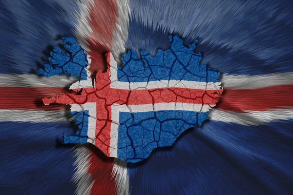
Puzzle With The National Flag Of Germany And Iceland On A World Map Background.

Image, 9.46MB, 6483 × 4327 jpg
stock vector World Continents(Vector). Accurate map onto a globe. Includes Antarctica, Arctic, Atlantic. Details include small island chains, lakes and seas.

World Continents(Vector). Accurate Map Onto A Globe. Includes Antarctica, Arctic, Atlantic. Details Include Small Island Chains, Lakes And Seas.

Vector, 4.75MB, 5000 × 4643 eps
stock image Gljufrabui iceland shooting with drone

Gljufrabui Iceland Shooting With Drone

Image, 14.7MB, 3024 × 4032 jpg
stock vector North America countries, political map. Continent bordered by South America, Caribbean Sea, and by Arctic, Atlantic and Pacific Ocean. Canada, United States, Mexico, etc. Multi colored illustration.

North America Countries, Political Map. Continent Bordered By South America, Caribbean Sea, And By Arctic, Atlantic And Pacific Ocean. Canada, United States, Mexico, Etc. Multi Colored Illustration.

Vector, 3.31MB, 6000 × 7792 eps
stock image Gljufrabui iceland drone , view from above

Gljufrabui Iceland Drone , View From Above

Image, 17.27MB, 3024 × 4032 jpg
Page 1 >> Next