
Stock image Sussex Vector Map

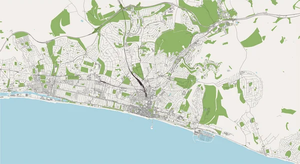
Vector Of The City Of Brighton And Hove, East Sussex, South East England, England, UK
Vector, 5.22MB, 5685 × 3126 eps

The Detailed Map Of The United Kingdom With Regions Or States And Cities, Capitals. Actual Current Relevant UK, Great Britain Administrative Devision.
Vector, 2.56MB, 5000 × 6500 eps

United Kingdom High Detailed Vector Map With Administrative Divisions Borders
Vector, 7.6MB, 5379 × 8333 eps

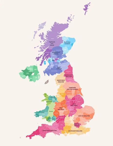
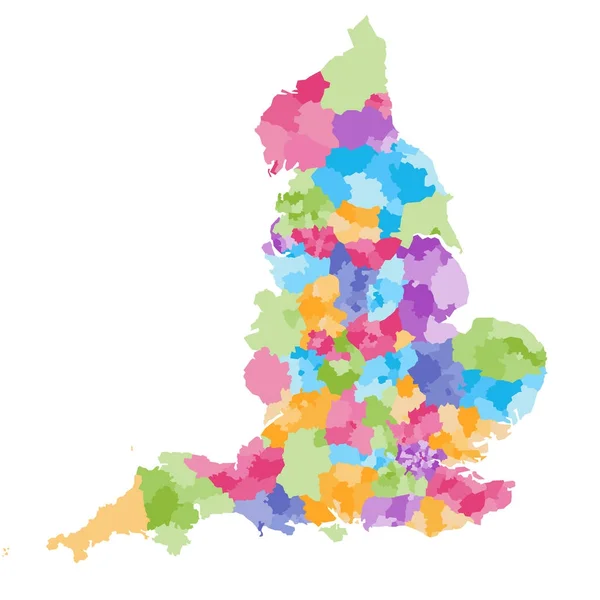
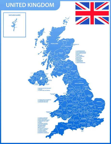
United Kingdom Administrative Districts High Detailed Vector Map Colored By Regions With Editable And Labelled Layers
Vector, 10.16MB, 6454 × 8333 eps
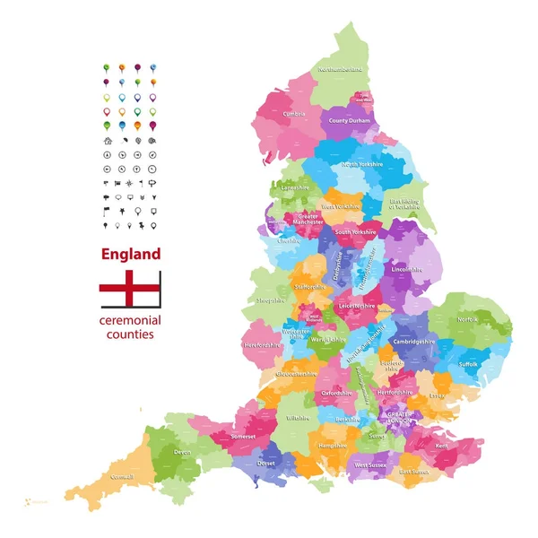
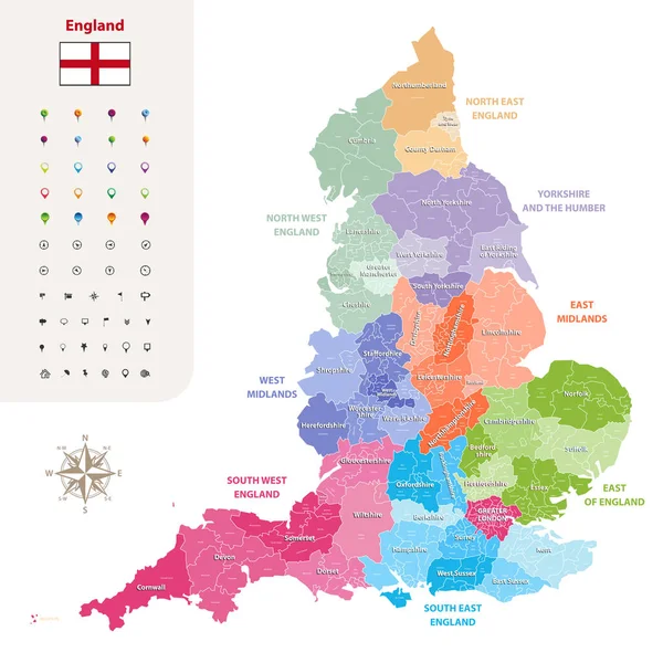
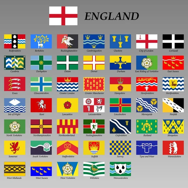
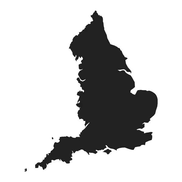
Vector Map Of England Ceremonial Counties. Flag Of England. Navigation And Location Icons
Vector, 9.37MB, 7292 × 7292 eps

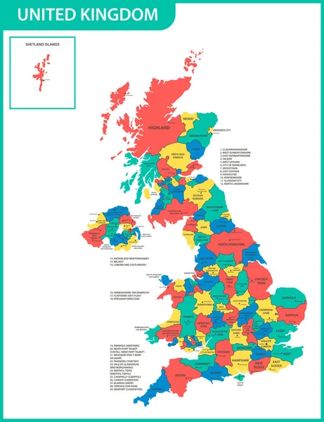
United Kingdom Administrative Districts Vector High Detailed Map Colored By Regions And Counties
Vector, 10MB, 5144 × 8333 eps
The Detailed Map Of The United Kingdom With Regions Or States And Cities, Capitals. Actual Current Relevant UK, Great Britain Administrative Devision.
Vector, 2.52MB, 5000 × 6500 eps
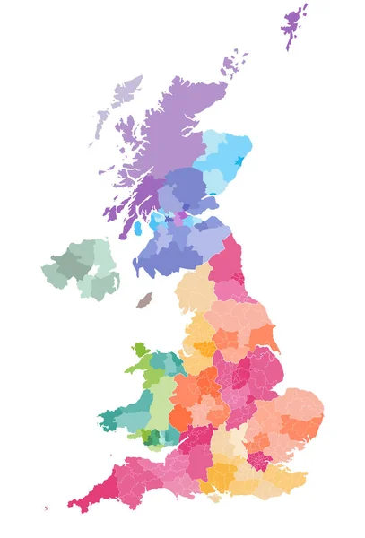
Vector Map Of United Kingdom Administrative Divisions Colored By Countries And Regions. Districts And Counties Map Of England, Wales, Scotland And Northern Ireland
Vector, 6.25MB, 5656 × 8333 eps
England Ceremonial Counties And Their Districts Vector Map. Each County Distinctions Between Each Other By Different Color Palette
Vector, 5.73MB, 7292 × 7292 eps

Vector Of The City Of Brighton And Hove, East Sussex, South East England, England, UK
Vector, 4.62MB, 5510 × 3543 eps
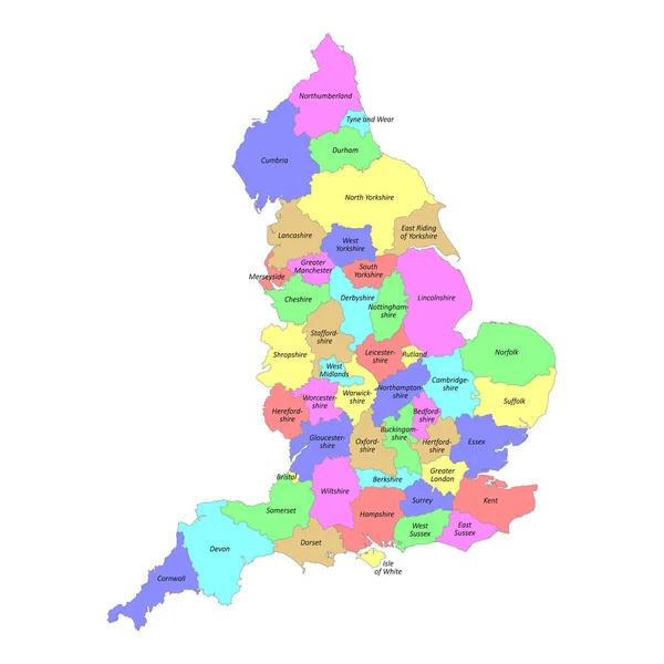
High Quality Colorful Labeled Map Of England With Borders Of The Counties
Vector, 3MB, 4000 × 4000 eps
The Detailed Map Of The United Kingdom With Regions Or States And Cities, Capitals. Actual Current Relevant UK, Great Britain Administrative Devision.
Vector, 2.61MB, 5000 × 6500 eps

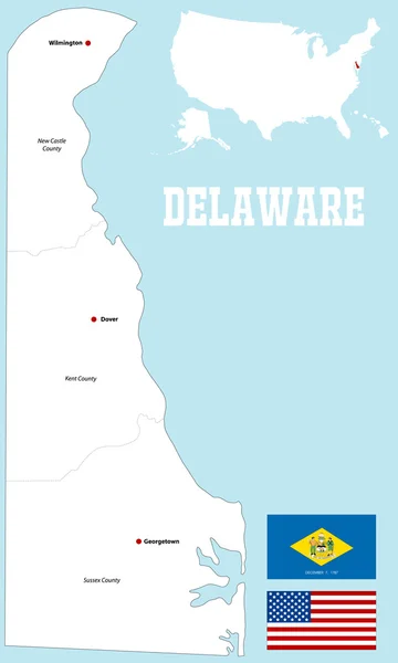
The Gray Map Of Delaware State Counties Isolated On White Background
Vector, 8.08MB, 3504 × 5004 eps


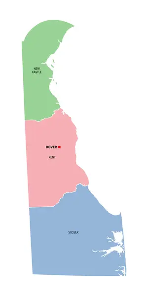
Delaware, U.S. State, Multi Colored Political Map With Capital Dover. State In The Mid-Atlantic And Northeastern Region Of The United States, Subdivided Into The Counties New Castle, Kent, And Sussex.
Vector, 1.31MB, 4500 × 9000 eps

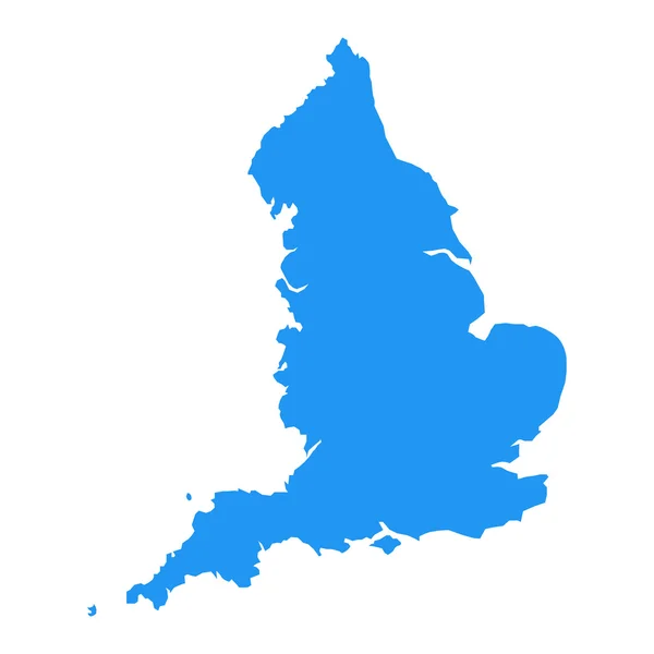
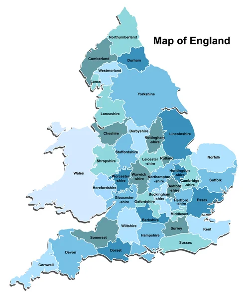
England Administrative Divisions Map. Metropolitan And Non-metropolitan Counties And Unitary Authorities. Blue Vector Map With Labels.
Vector, 0.94MB, 8000 × 8000 eps


Delaware, U.S. State, Gray Political Map With Borders And County Names. State In The Mid-Atlantic And Northeastern Region Of The USA, Subdivided Into The Three Counties New Castle, Kent, And Sussex.
Vector, 1.3MB, 4500 × 9000 eps

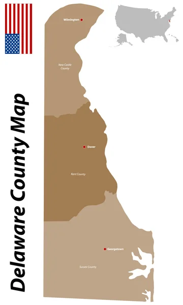
Delaware, U.S. State, Political Map With Borders And County Names. State In The Mid-Atlantic And Northeastern Region Of The USA, Subdivided Into 3 Counties, Nicknamed First State, Small Wonder, Etc.
Vector, 3.86MB, 6000 × 8219 eps

Page 1 >> Next