
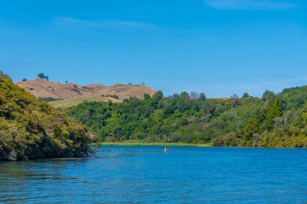
Stock image Waikato Region page 2

Blue Spring Which Is Located At Te Waihou Walkway,Hamilton New Zealand. It Internationally Acclaimed Supplies Around 70% Of New Zealand's Bottled Water Because Of The Pure Water.
Image, 16.79MB, 4928 × 3264 jpg


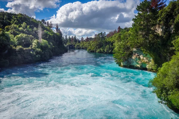

Bridal Veil Falls, Raglan, Waikato, North Island, New Zealand, Oceania
Image, 2.76MB, 5139 × 3404 jpg


Symbol Map Of The Regional Council Waikato (New Zealand). Abstract Map Showing The State/province With A Pattern Of Overlapping Colorful Squares Like Candies
Vector, 0.64MB, 3371 × 6000 eps


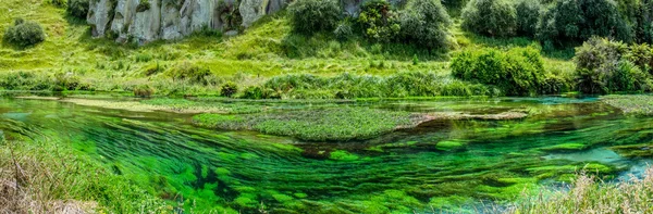
Photo Of The Blue Spring On Te Waihou River Viewed From Te Waihou Walkway On The Leslie Road, Putaruru, Waikato Region In New Zealand.
Image, 7.89MB, 4032 × 3024 jpg

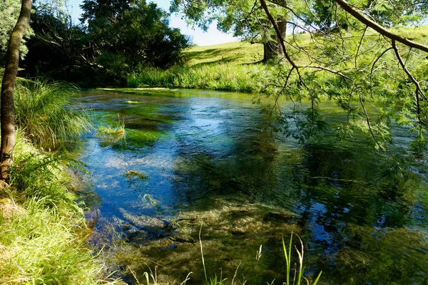
Photo Of The Blue Spring On Te Waihou River Viewed From Te Waihou Walkway On The Leslie Road, Putaruru, Waikato Region In New Zealand.
Image, 6.99MB, 3024 × 4032 jpg

Photo Of The Blue Spring On Te Waihou River Viewed From Te Waihou Walkway On The Leslie Road, Putaruru, Waikato Region In New Zealand.
Image, 9.19MB, 3024 × 4032 jpg


Photo Of The Blue Spring On Te Waihou River Viewed From Te Waihou Walkway On The Leslie Road, Putaruru, Waikato Region In New Zealand.
Image, 9.53MB, 4032 × 3024 jpg

Symbol Map Of The Regional Council Waikato (New Zealand). Abstract Map Showing The State/province With A Pattern Of Black And White Squares Like A Chessboard
Vector, 0.6MB, 3371 × 6000 eps


Photo Of The Blue Spring On Te Waihou River Viewed From Te Waihou Walkway On The Leslie Road, Putaruru, Waikato Region In New Zealand.
Image, 8.76MB, 3024 × 4032 jpg


Photo Of The Blue Spring On Te Waihou River Viewed From Te Waihou Walkway On The Leslie Road, Putaruru, Waikato Region In New Zealand.
Image, 6.67MB, 3024 × 4032 jpg


Waikato Region Map, Administrative Division Of New Zealand. Vector Illustration.
Vector, 5.42MB, 8334 × 8334 eps

Photo Of The Blue Spring On Te Waihou River Viewed From Te Waihou Walkway On The Leslie Road, Putaruru, Waikato Region In New Zealand.
Image, 8.43MB, 4032 × 3024 jpg


Symbol Map Of The Regional Council Waikato (New Zealand). Abstract Map Showing The State/province With Horizontal Parallel Lines In Rainbow Colors
Vector, 0.57MB, 3371 × 6000 eps

Symbol Map Of The Regional Council Waikato (New Zealand) Showing The Territory With Concentric Circles In Rainbow Colors Like A Shooting Target
Vector, 0.63MB, 3371 × 6000 eps

Previous << Page 2 >> Next