
Stock image Warren Silhouette

Warren County, Missouri (U.S. County, United States Of America, USA, U.S., US) Map Vector Illustration, Scribble Sketch Warren Map
Vector, 0.59MB, 7087 × 4726 eps


Hunting Dogs Collection Isolated On White. Flat Style. Different Color And Country Of Origin. Vector Illustration
Vector, 2.28MB, 6274 × 4500 eps
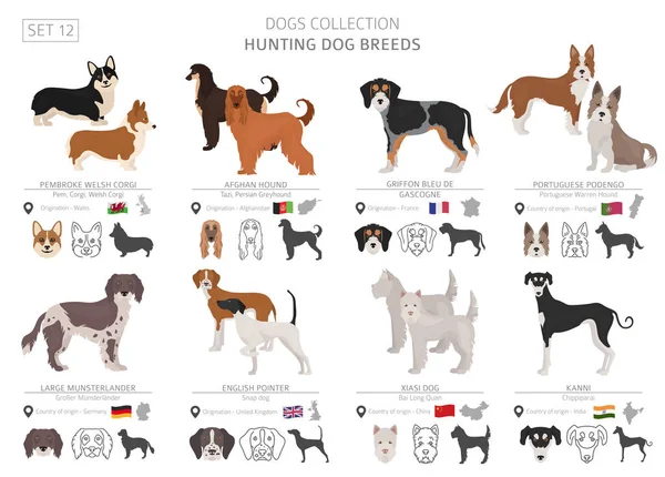
Hunting Dogs Collection Isolated On White. Flat Style. Different Color And Country Of Origin. Vector Illustration
Vector, 2.97MB, 6274 × 4500 eps


Bunny - High Quality Vector Logo - Vector Illustration Ideal For T-shirt Graphic
Vector, 0.01MB, 2400 × 2678 eps

Map Of Warren County In Virginia State On White Background. Single County Map Highlighted By Black Colour On Virginia Map. UNITED STATES, US
Image, 4.45MB, 8000 × 5334 jpg
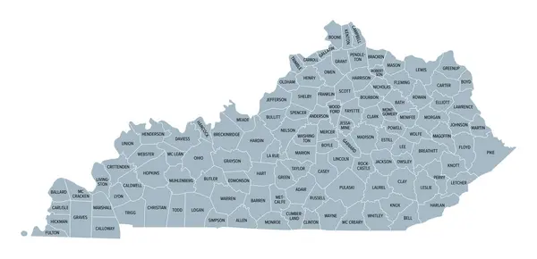
Kentucky, U.S. State Subdivided Into 120 Counties, Gray Political Map With Borders And County Names. Commonwealth Of Kentucky, A State In The Southeastern Region Of USA, Nicknamed The Bluegrass State.
Vector, 2.14MB, 9000 × 4352 eps

Map Of Warren County In North Carolina State On White Background. Single County Map Highlighted By Black Color On North Carolina Map. UNITED STATES, US
Image, 4.32MB, 8000 × 5334 jpg

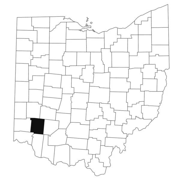
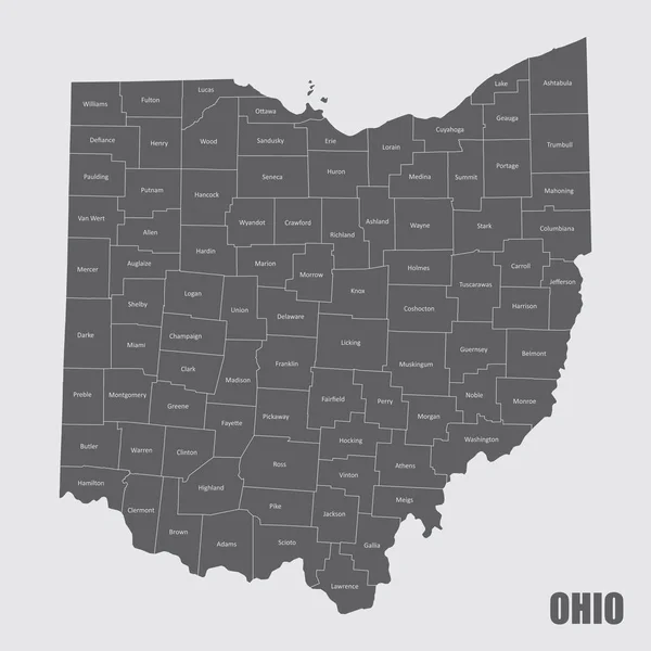
Map Of Warren County In Ohio State On White Background. Single County Map Highlighted By Black Colour On Ohio Map. UNITED STATES, US
Image, 5.59MB, 8000 × 8000 jpg

Map Of Warren County In Georgia State On White Background. Single County Map Highlighted By Black Colour On Georgia Map. UNITED STATES, US
Image, 6.56MB, 8000 × 8000 jpg

Map Of Warren County In Illinois State On White Background. Single County Map Highlighted By Black Colour On Illinois Map. UNITED STATES, US
Image, 5.2MB, 8000 × 8000 jpg

Warren Shire (Commonwealth Of Australia, New South Wales, NSW) Map Vector Illustration, Scribble Sketch Warren Map
Vector, 1.22MB, 7087 × 4726 eps

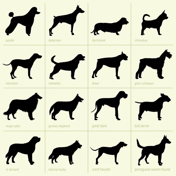
Dog Breeds Silhouettes Simple Style Clipart. Hunting Dogs Sightounds And Pariah Dogs Collection. Vector Illustration
Vector, 1.18MB, 7031 × 4500 eps

Map Of Warren County In Pennsylvania State On White Background. Single County Map Highlighted By Black Colour On Pennsylvania Map. UNITED STATES, US
Image, 4.23MB, 8000 × 5334 jpg

Kentucky, U.S. State, Multi Colored Political Map With Borders, County Names And Capital Frankfort. State In The Southeastern Region Of The United States, Subdivided Into 120 Counties. Bluegrass State
Vector, 2.16MB, 9000 × 4352 eps
Page 1 >> Next