
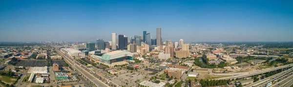
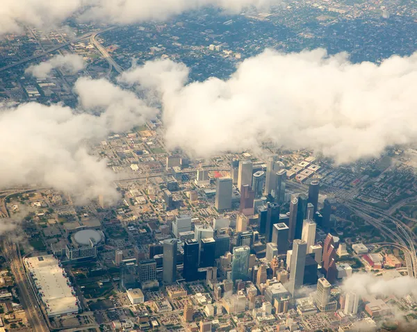
Stock image Aerial Houston


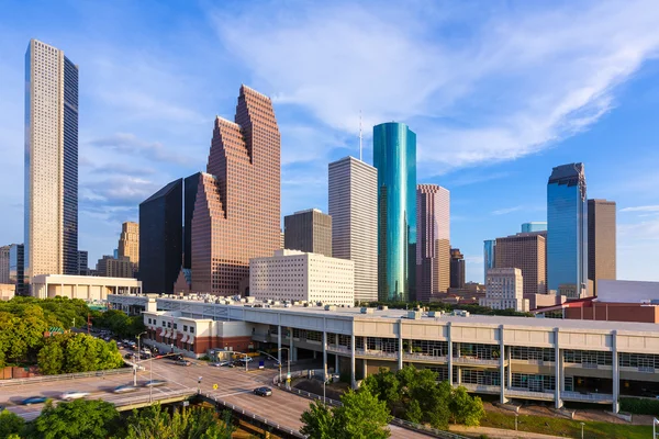
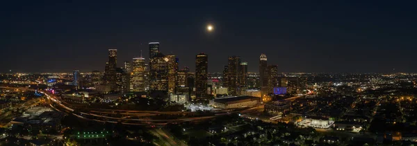
Aerial Drone Photo Of Minute Maid Arena And Downtown Houston Texas USA
Image, 8.21MB, 4200 × 3145 jpg
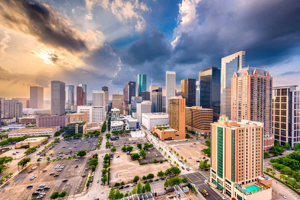

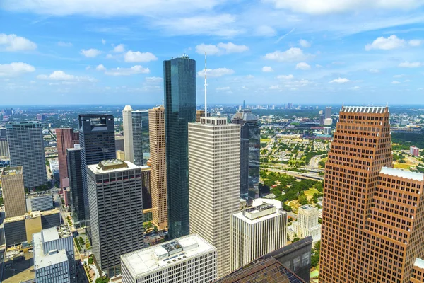

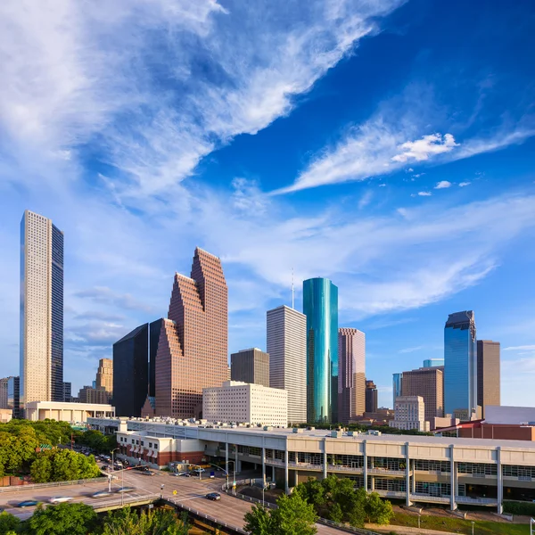
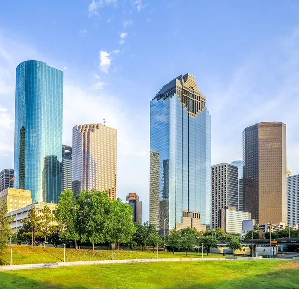
Aerial Drone Photo Downtown Houston Texas Skyscrapers Business District
Image, 9.74MB, 4200 × 2798 jpg

Aerial Urban Lakeside Green Park In Suburban Houston. S-curved Pathway, Trees, Grassy Lawn, Trail By Lake Shore For Jogging, Running, Exercising Outdoor, Large Tai Chi Circle Of Ying Yang In Middle
Image, 8.02MB, 4000 × 3000 jpg
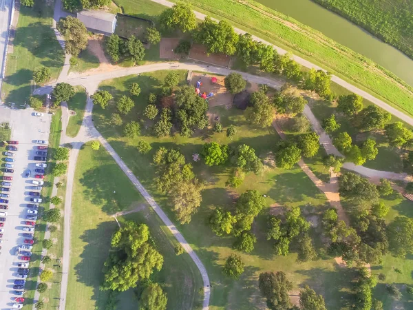
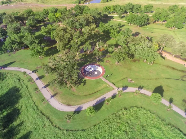
Aerial View Busy Parking Lots At Trailhead Of Urban Park With Playground, Pathway In Houston
Image, 8.47MB, 4000 × 3000 jpg
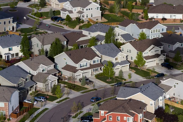
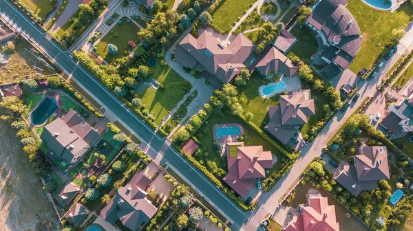
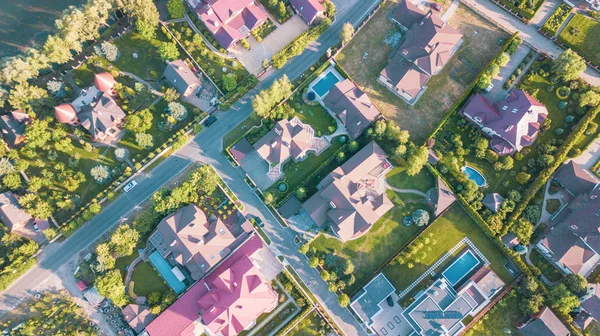
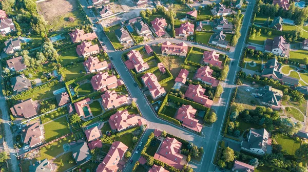
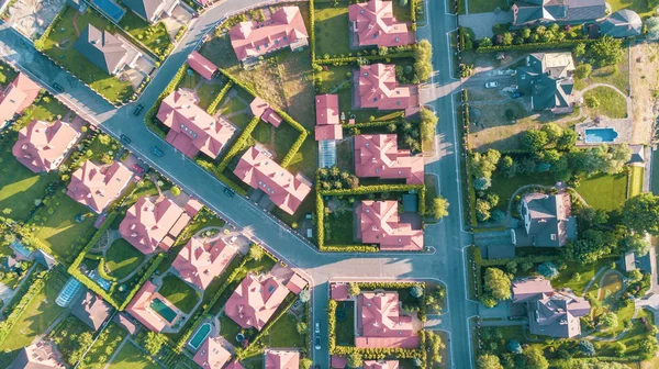
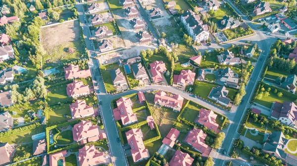
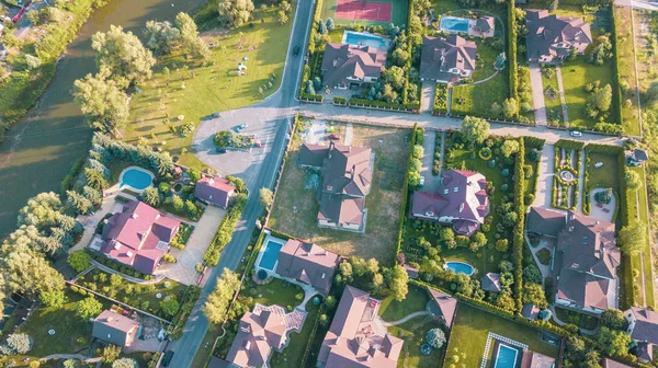
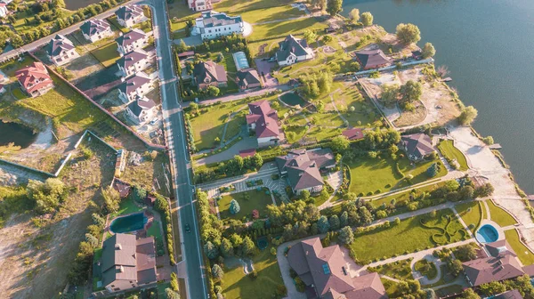
Aerial View Of Residential Houses And Driveways Neighborhood. Tightly Packed Homes, Surrounds With Green Tree Flyover Europe. Suburban Housing Community Development
Image, 13.34MB, 5464 × 3640 jpg
Vintage Tone Aerial Urban Lakeside Green Park In Suburban Area Houston. Trees, Grassy Lawn, Playground, Pathway, Trail By Lake Shore For Jogging, Running, People Exercising Outdoor
Image, 5.44MB, 4000 × 3000 jpg

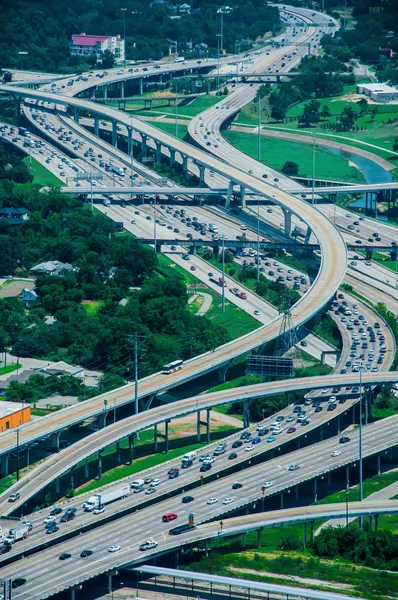
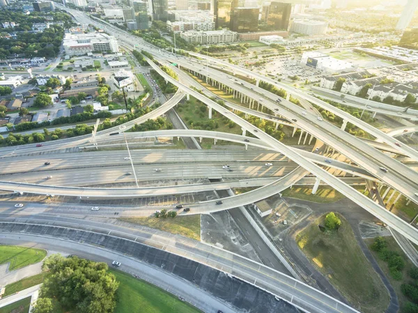
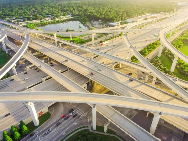
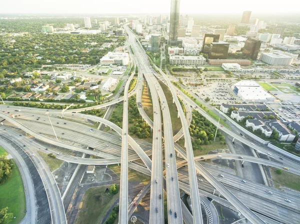
Aerial View Massive Interstate I69 Highway Intersection, Stack Interchange With Elevated Road Junction Overpass In Downtown Houston. This Five-level Freeway Interchange Carry Heavy Rush Hour Traffic.
Image, 9.19MB, 3992 × 2992 jpg
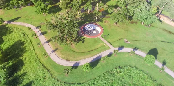
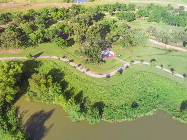
Panorama Flyover Urban Green Park In Suburban Houston, Texas, USA. Aerial S-curved Pathway, Tree, Grassy Lawn, Trail Jogging, Running, Exercising Outdoor, Large Tai Chi Circle Of Ying Yang In Middle
Image, 5.44MB, 4000 × 1971 jpg
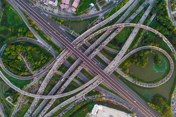
Intersection Infinity Sign Traffic Road With Car And Green Park Pond Aerial View
Image, 14.58MB, 5464 × 3640 jpg

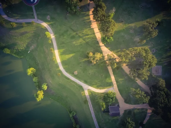
Flyover Urban Green Park In Suburban Houston, Texas, USA. Aerial S-curved Pathway, Tree, Grassy Lawn, Trail For Jogging, Running, Exercising Outdoor, Large Tai Chi Circle Of Ying Yang In Middle
Image, 7.91MB, 4000 × 3000 jpg
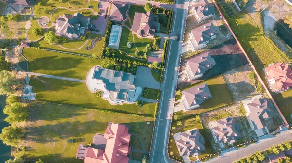

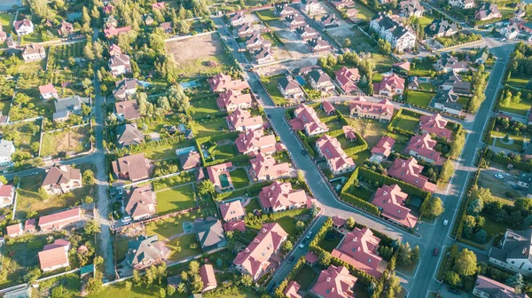
Aerial View Huge Park Near Residential Houses In Houston, Texas, USA. Green Urban Recreation With Long Pathway Surrounds With Green Tree. Tightly Packed Homes Neighborhood And Driveways Flyover
Image, 6.73MB, 4000 × 3000 jpg
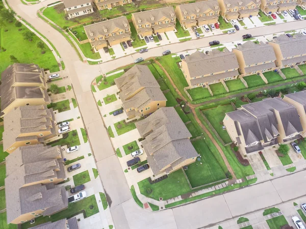
Aerial View A Townhouse Complex In A Circular Houston Suburban Neighborhood. Flyover Community Living Apartment Building. Tightly Packed Homes Housing And Driveway Surrounds Green Grassy Lawn
Image, 6.19MB, 4000 × 3000 jpg

Aerial View Of Apartment Garage With Full Of Covered Parking, Cars And Green Trees Of Multi-floor Residential Buildings In Houston, Texas, US At Sunset. Urban Infrastructure And Transportation Concept
Image, 8.62MB, 4000 × 3000 jpg


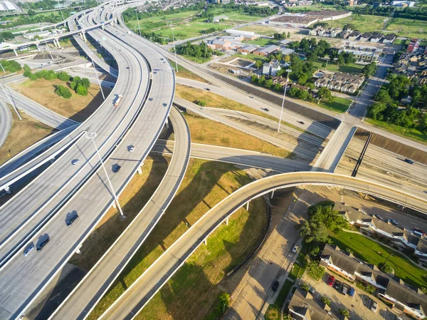
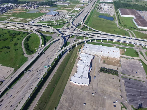
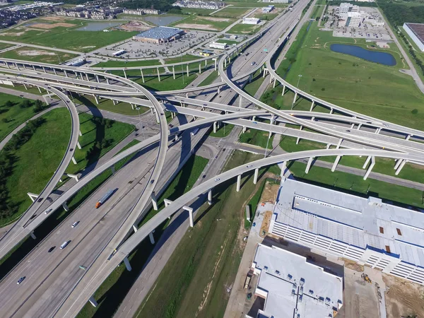
Aerial View Massive Highway Intersection, Stack Interchange With Elevated Road Junction Overpass At Late Afternoon In Houston, Texas. This Five-level Freeway Interchange Carry Heavy Rush Hour Traffic.
Image, 6.72MB, 4000 × 3000 jpg
Aerial View Interstate 10 Or Katy Freeway With Massive Intersection, Stack Interchange, Elevated Road Junction Overpass In Daytime. Nightly Degree Vertical View Metropolitan Area Of Katy, Texas, USA
Image, 7.04MB, 4000 × 3000 jpg
Aerial Interstate I-610 Freeway Massive Intersection And Houston Midtown Skylines Background. Stack Interchange, Elevated Road Junction Overpass Viaduct. Nightly Degree Vertical View Metropolitan Area
Image, 8.83MB, 3992 × 2992 jpg


Top View Interstate 10 Or Katy Freeway With Massive Intersection, Stack Interchange, Elevated Road Junction Overpass In Daytime With Clear Blue Sky. Aerial Metropolitan Area Of Katy, Texas, US
Image, 6.6MB, 4000 × 3000 jpg
Aerial View Interstate 10 Or Katy Freeway With Massive Intersection, Stack Interchange, Elevated Road Junction Overpass In Daytime. Nightly Degree Vertical View Metropolitan Area Of Katy, Texas, USA
Image, 6.91MB, 4000 × 3000 jpg

Panorama Horizontal Aerial Interstate 10 Or Katy Freeway Massive Intersection, Stack Interchange, Elevated Road Junction Overpass Cloud Blue Sky. Top View Metropolitan Area Of Katy, Texas, USA
Image, 5.53MB, 4000 × 2418 jpg

Aerial Interstate I-610 Freeway Massive Intersection And Houston Midtown Skylines Background. Stack Interchange, Elevated Road Junction Overpass Viaduct. Nightly Degree Vertical View Metropolitan Area
Image, 8.82MB, 3992 × 2992 jpg
Page 1 >> Next