
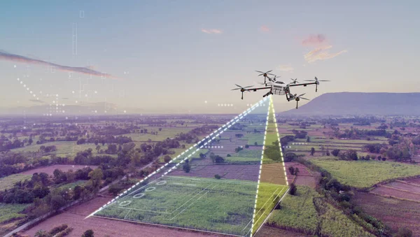
Stock image Aerial Imaging
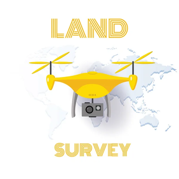
Geodetic Measuring Equipment, Drone, Engineering Technology For Land Survey And Geodesy Banner
Vector, 0.99MB, 5000 × 5000 eps

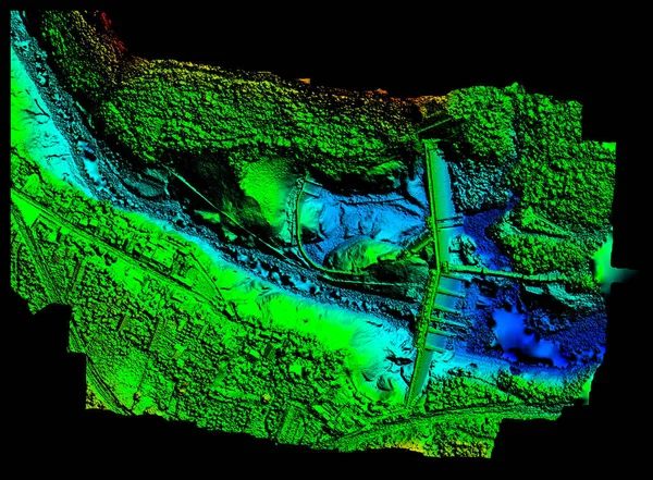
High Resolution Digital Elevation Model Of Agoyan Hydroelectric Dam In Banos De Agua Santa Blue Representing Low Altitude And Red High Altitude
Image, 22.07MB, 6000 × 4419 jpg
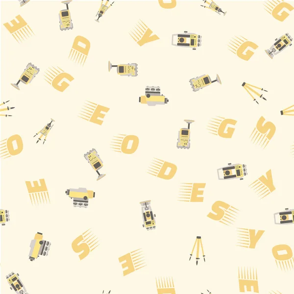
Geodetic Measuring Equipment, Engineering Technology For Land Survey
Vector, 2.66MB, 5001 × 5001 eps
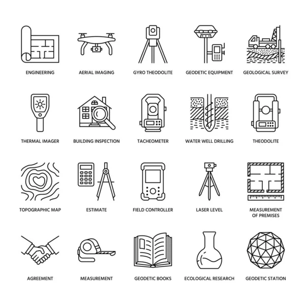
Geodetic Survey Engineering Vector Flat Line Icons. Geodesy Equipment, Tacheometer, Theodolite, Tripod. Geological Research, Building Measurement Inspection Illustration. Construction Service Signs.
Vector, 0.61MB, 4167 × 4167 eps
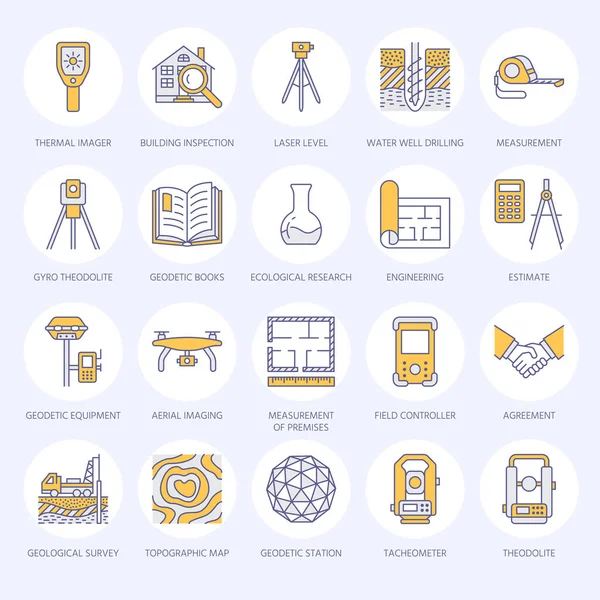
Geodetic Survey Engineering Vector Flat Line Colored Icons. Geodesy Equipment, Tacheometer, Tripod. Geological Research, Building Measurement Inspection Illustration. Construction Service Signs.
Vector, 0.97MB, 4167 × 4167 eps

Geodetic Survey Engineering Vector Flat Line Icons. Geodesy Equipment, Tacheometer, Theodolite, Tripod. Geological Research, Building Measurement Inspection Illustration. Construction Service Signs.
Vector, 0.49MB, 4167 × 4167 eps
Icon Drone Camera. Related To Drone Symbol. MBE Style. Simple Design Illustration
Vector, 1.19MB, 4166 × 4166 eps

Sticker Line Cut Drone Camera. Related To Drone Symbol. Simple Design Illustration
Vector, 1.07MB, 4166 × 4166 eps
Icon Drone Camera. Related To Drone Symbol. Long Shadow Style. Simple Design Illustration
Vector, 1.07MB, 4166 × 4166 eps
Icon Drone Camera. Related To Drone Symbol. Color Spot Style. Simple Design Illustration
Vector, 1.2MB, 4166 × 4166 eps
Icon Drone Camera. Related To Drone Symbol. Hand Drawn Style. Simple Design Illustration
Vector, 1.25MB, 4166 × 4166 eps
Icon Drone Camera. Related To Drone Symbol. Color Mate Style. Simple Design Illustration
Vector, 1.49MB, 4166 × 4166 eps
Icon Drone Camera. Related To Drone Symbol. Glyph Style. Simple Design Illustration
Vector, 1.49MB, 4166 × 4166 eps
Icon Drone Camera. Related To Drone Symbol. Blue Eyes Style. Simple Design Illustration
Vector, 1.07MB, 4166 × 4166 eps
Icon Drone Camera. Related To Drone Symbol. Line Style. Simple Design Illustration
Vector, 1.48MB, 4166 × 4166 eps
Icon Drone Camera. Related To Drone Symbol. Two Tone Style. Simple Design Illustration
Vector, 1.07MB, 4166 × 4166 eps
Icon Drone Camera. Related To Drone Symbol. Comic Style. Simple Design Illustration
Vector, 1.09MB, 4166 × 4166 eps
Icon Drone Camera. Related To Drone Symbol. Glossy Style. Simple Design Illustration
Vector, 1.08MB, 4166 × 4166 eps
Icon Drone Camera. Related To Drone Symbol. Doodle Style. Simple Design Illustration
Vector, 1.07MB, 4166 × 4166 eps
Icon Drone Camera. Related To Drone Symbol. Flat Style. Simple Design Illustration
Vector, 1.49MB, 4166 × 4166 eps

Sticker Drone Camera. Related To Drone Symbol. Simple Design Illustration
Vector, 1.07MB, 4166 × 4166 eps
Icon Drone Camera. Related To Drone Symbol. Chalk Style. Simple Design Illustration
Vector, 2.42MB, 4166 × 4166 eps


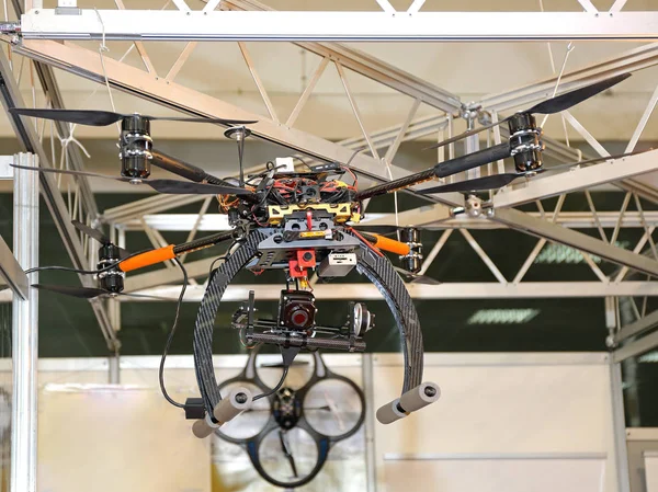
Great Malvern, United Kingdom, 27th December, 2020: Common White Camera Drone Used For Surveillance, Plain Background
Image, 20.87MB, 6026 × 4020 jpg

Barcelona, Spain; April 04, 2020:dji Mavic Enterprise,dual Camera Visual And Thermal, For Rescue And Temperature Check, Covid-19
Image, 5.95MB, 4500 × 2988 jpg
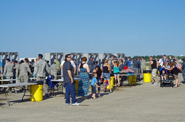
McGUIRE AIR FORCE BASE-WRIGHTSTOWN, NEW JERSEY, USA-MAY 11: Security Was Tight At The Entrance To The 2014 Open House And Air Show Featuring The U.S.A.F. Thunderbirds.
Image, 7.34MB, 4273 × 2825 jpg
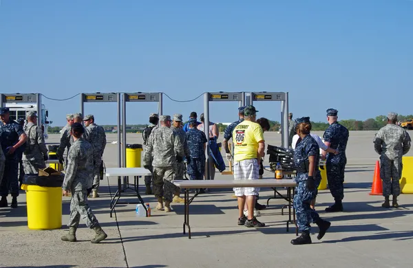
McGUIRE AIR FORCE BASE-WRIGHTSTOWN, NEW JERSEY, USA-MAY 11: Security Was Tight At The Entrance To The 2014 Open House And Air Show Featuring The U.S.A.F. Thunderbirds.
Image, 6.58MB, 4219 × 2743 jpg


Background Of City Landscape View With Eiffle Tower View, Paris, France
Image, 7.38MB, 5184 × 3456 jpg


Page 1 >> Next