
Stock image Aleutian

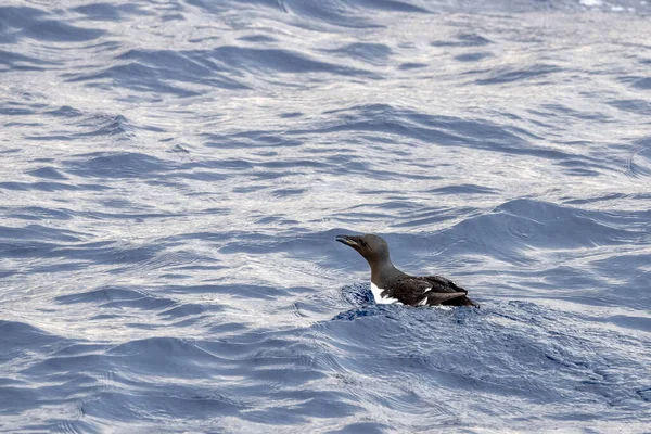
Brunnich Uria Spotted In Mediterranean Sea Ultra Rare First Sighting In 2021 In Ligurian Sea
Image, 2.41MB, 3000 × 2000 jpg

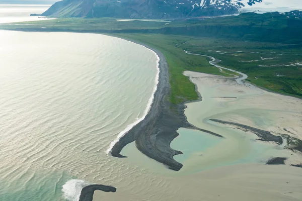
Teal Waters Of Alaska Near Katmai National Park, With View Of Augustine Island And The Aleutian Range Of Mountains. Aerial Photography View
Image, 9.47MB, 5280 × 3520 jpg


Agattu Island In The Bering Sea - Belonging To United States. Described Location Diagram With Yellow Shape Of The Island And Sample Maps Of Its Surroundings
Image, 1.84MB, 3840 × 2160 jpg

Popof Island In The Gulf Of Alaska On A Topographic, OSM Humanitarian Style Map
Image, 0.86MB, 2880 × 1620 jpg
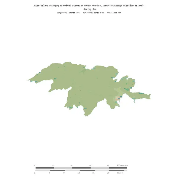
Attu Island In The Bering Sea, Belonging To United States, Isolated On A Topographic, OSM Humanitarian Style Map, With Distance Scale
Image, 0.36MB, 2160 × 2160 jpg


Buldir Island In The Bering Sea, Belonging To United States, Isolated On A Satellite Image Taken In November 11, 2020, With Distance Scale
Image, 1.13MB, 2160 × 2160 jpg

Akun Island In The Bering Sea, Belonging To United States, Isolated On A Satellite Image Taken In June 18, 2021, With Distance Scale
Image, 1.4MB, 2160 × 2160 jpg
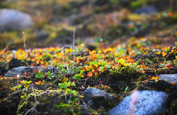
Beautiful Nature View - Tundra Plants And Moss Near Barentsburg, Spitsbergen Island, Svalbard Archipelago, Norway, Northern Europe. Photo With Tilt-shift Effect
Image, 3.99MB, 3200 × 2081 jpg


Agattu Island In The Bering Sea, Belonging To United States, Isolated On A Bilevel Elevation Map, With Distance Scale
Image, 0.45MB, 2160 × 2160 jpg

Little Sitkin Island In The Bering Sea, Belonging To United States, Isolated On A Bilevel Elevation Map, With Distance Scale
Image, 0.4MB, 2160 × 2160 jpg

Popof Island In The Gulf Of Alaska, Belonging To United States, Isolated On A Satellite Image Taken In October 15, 2020, With Distance Scale
Image, 1.83MB, 2160 × 2160 jpg

Kiska Island In The Bering Sea On A Topographic, OSM Humanitarian Style Map
Image, 0.42MB, 2880 × 1620 jpg

Segula Island In The Bering Sea On A Topographic, OSM Humanitarian Style Map
Image, 0.22MB, 2880 × 1620 jpg

Popof Island In The Gulf Of Alaska On A Satellite Image Taken In July 15, 2021
Image, 5.82MB, 2880 × 1620 jpg

Semisopochnoi Island In The Bering Sea On A Satellite Image Taken In August 22, 2020
Image, 3.74MB, 2880 × 1620 jpg

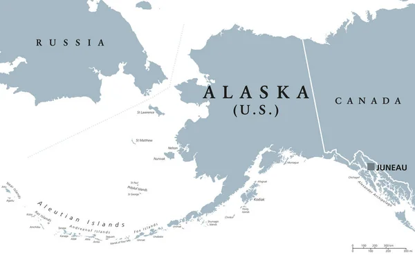
Alaska, U.S. State, Subdivided Into 19 Organized Boroughs And 11 Census Areas, Multi Colored Political Map. State On The Northwest Extremity Of North America In The Western USA Region. Last Frontier.
Vector, 2.22MB, 9000 × 5232 eps


Natural Closeup On The Fresh Green Leaves Of The Western Of Aleutian Maidenhair Fern, Adiantum Aleuticum In An Oregon Forrest, USA
Image, 8.74MB, 4000 × 6000 jpg


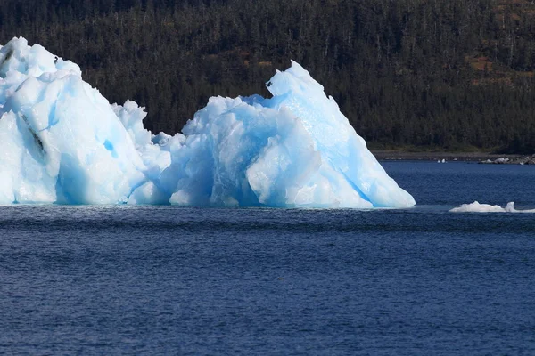
Ice And Icebergs In The Environment Of Columbia Glacier, Columbia Bay, Valdez, Alaska
Image, 11.38MB, 4896 × 3264 jpg
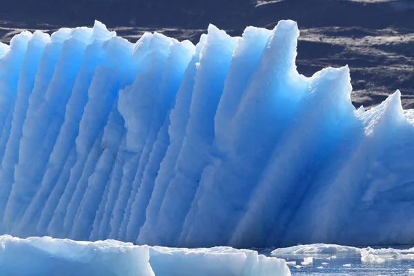
Ice And Icebergs In The Environment Of Columbia Glacier, Columbia Bay, Valdez, Alaska
Image, 10.74MB, 4896 × 3264 jpg

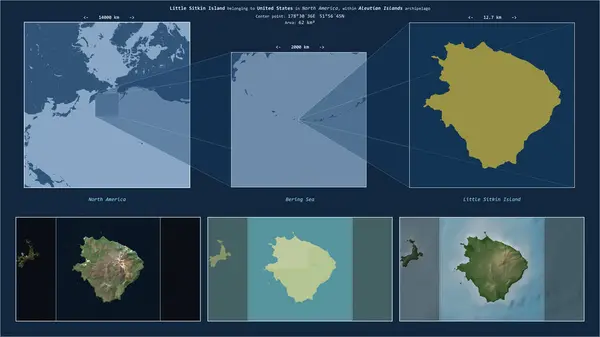
Little Sitkin Island In The Bering Sea - Belonging To United States. Described Location Diagram With Yellow Shape Of The Island And Sample Maps Of Its Surroundings
Image, 1.72MB, 3840 × 2160 jpg
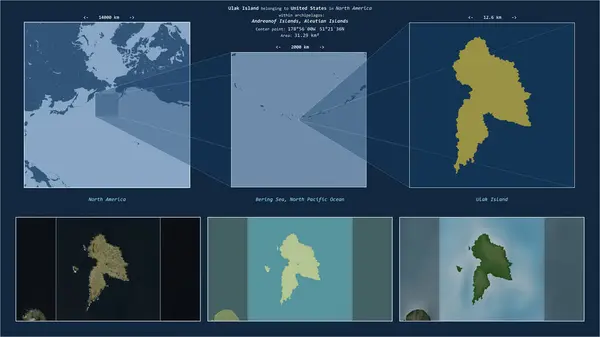
Ulak Island In The Bering Sea - Belonging To United States. Described Location Diagram With Yellow Shape Of The Island And Sample Maps Of Its Surroundings
Image, 1.99MB, 3840 × 2160 jpg

Bering Island In The Bering Sea On A Topographic, OSM Humanitarian Style Map
Image, 0.57MB, 2880 × 1620 jpg

Agattu Island In The Bering Sea On A Topographic, OSM Humanitarian Style Map
Image, 0.33MB, 2880 × 1620 jpg

Medny Island In The Bering Sea On A Satellite Image Taken In July 12, 2024
Image, 3.17MB, 2880 × 1620 jpg

Semisopochnoi Island In The Bering Sea On A Topographic, OSM Humanitarian Style Map
Image, 0.27MB, 2880 × 1620 jpg

Set Of Vector Line Icons, Sign And Symbols Of Maritime Transport For Modern Concepts, Web And Apps. Collection Of Infographics Elements, Logos And Pictograms.
Vector, 0.29MB, 4201 × 3413 eps

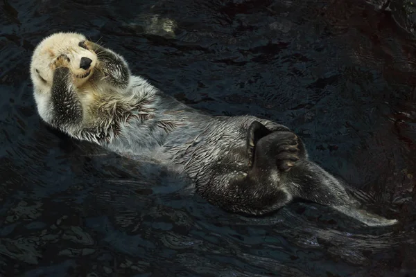
Northern Fur Seal (Callorhinus Ursinus) Very Relaxed In The Sea Water
Image, 14.54MB, 6000 × 4000 jpg

Medny Island In The Bering Sea On A Topographic, OSM Humanitarian Style Map
Image, 0.32MB, 2880 × 1620 jpg
Page 1 >> Next