
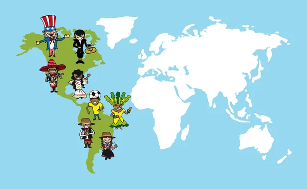
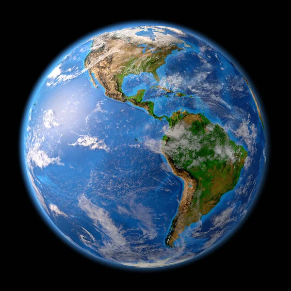
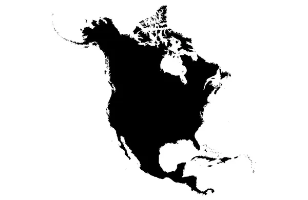
Stock image American Continent


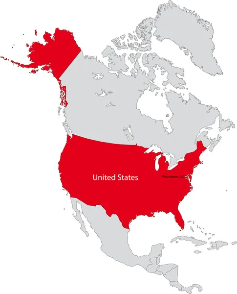
The Map Of Mexico Is Highlighted In Red On The World Map - Vector Illustration
Vector, 1.57MB, 5000 × 3500 eps


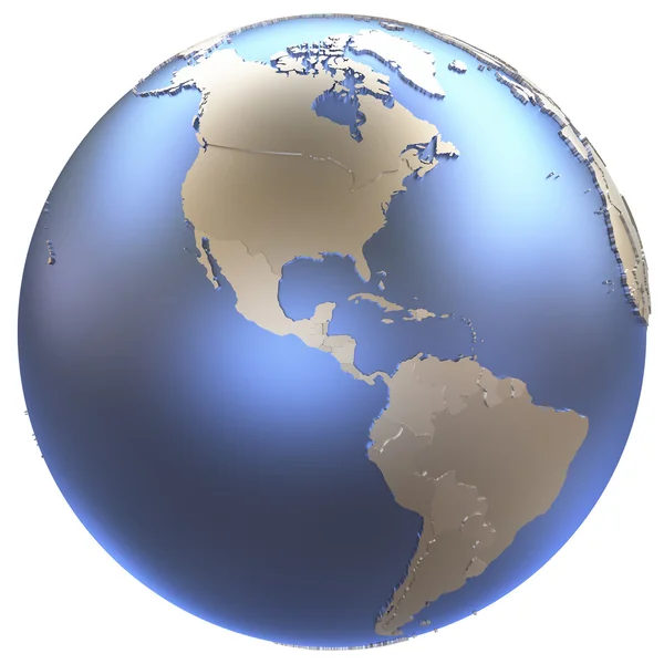
North America With National Flags On Simple Political Globe. 3D Illustration.
Image, 2.35MB, 5000 × 3750 jpg
North America With Embedded National Flags On Blue Political Globe. 3D Illustration.
Image, 2.27MB, 5000 × 3750 jpg


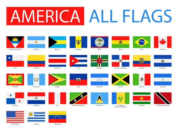
Icon Representing Round Button Flag Of Canada. Ideal For Catalogs Of Institutional Materials And Geography
Vector, 1.67MB, 5000 × 5000 eps


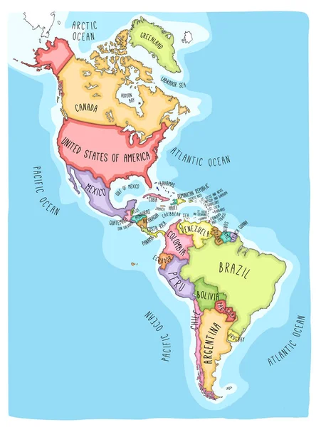
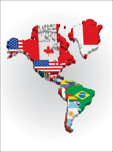
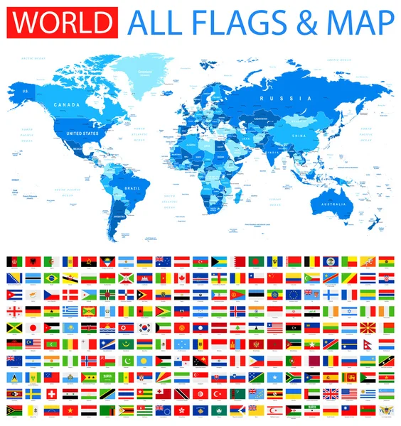
America Political Map Card Paper 3D Natural Vector Individual States Separate
Vector, 5.05MB, 4022 × 4044 eps


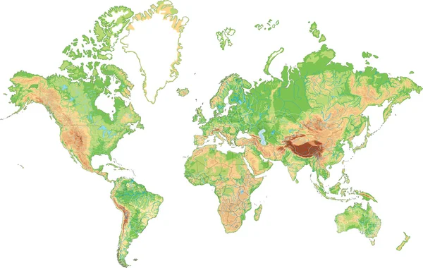
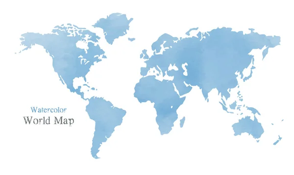
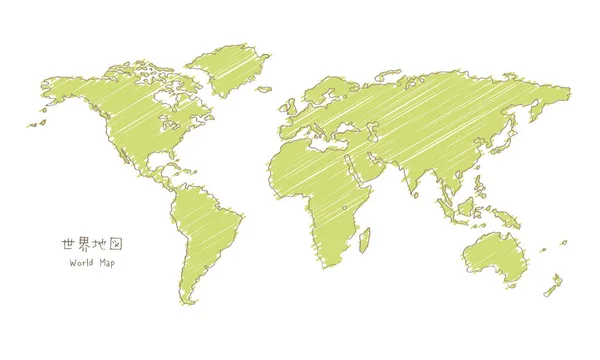
Hand-drawn Sketch World Map, Mercator Projection / Translation Of Japanese "World Map"
Vector, 11.76MB, 5000 × 3000 eps
Hand-drawn Sketch World Map, Mercator Projection / Translation Of Japanese "World Map"
Vector, 1.62MB, 5000 × 3000 eps

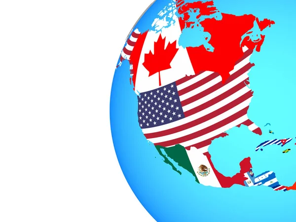
North America With National Flags On Blue Political 3D Globe. 3D Illustration.
Image, 2.45MB, 5000 × 3750 jpg

A White Crystal Globe Is Floating. Simplified Illustration, Digital. (American Continent Is Located In The Center)
Vector, 3.19MB, 10000 × 5625 eps
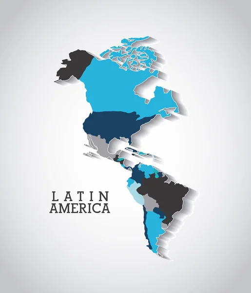

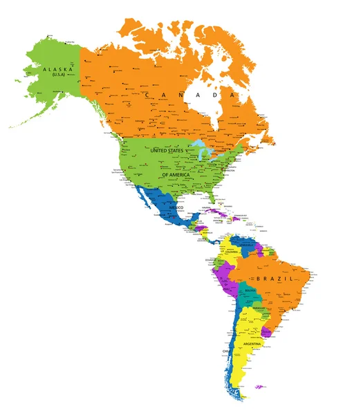
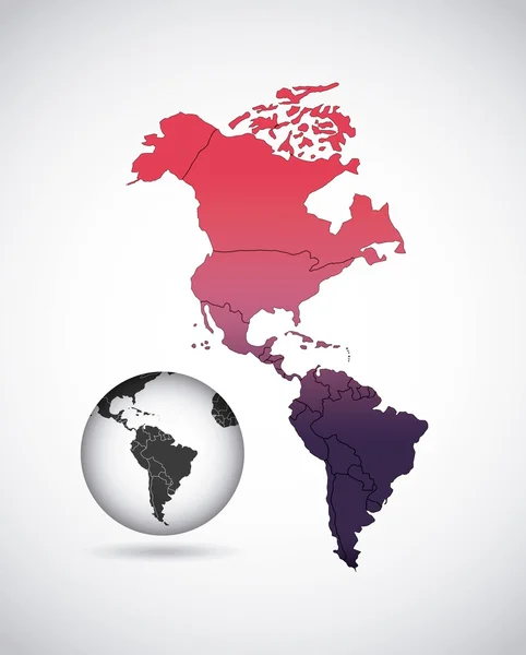
Vector South America And North America Map With Countries Borders. Abstract Red And Yellow American Countries On Map
Vector, 1.08MB, 4167 × 4167 eps
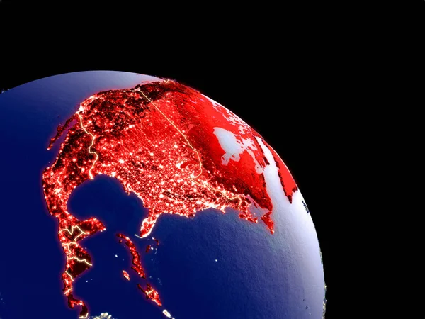
North America At Night From Orbit. Plastic Planet Surface With Visible City Lights. 3D Illustration. Elements Of This Image Furnished By NASA.
Image, 12.2MB, 5000 × 3750 jpg


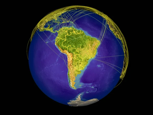
South America From Space On Earth With Country Borders And Lines Representing International Communication, Travel, Connections. 3D Illustration. Elements Of This Image Furnished By NASA.
Image, 11.2MB, 5000 × 3750 jpg

South America On Planet Earth From Space. 3D Illustration Isolated On White Background. Elements Of This Image Furnished By NASA.
Image, 7.49MB, 5000 × 3750 jpg
Page 1 >> Next