photo free
Home Images Vectors Videos

Stock image Araguaina

stock image Araguaina of Brazil flag waving on the top sunrise mist fog

Araguaina Of Brazil Flag Waving On The Top Sunrise Mist Fog

Image, 2.53MB, 3660 × 2440 jpg
stock image Tocantins, state of Brazil. Elevation map colored in wiki style with lakes and rivers. Locations of major cities of the region. Corner auxiliary location maps

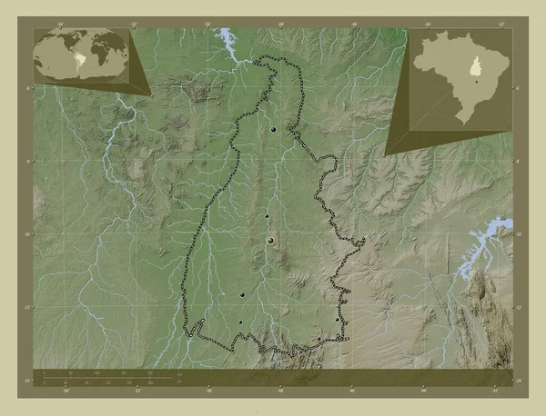
Tocantins, State Of Brazil. Elevation Map Colored In Wiki Style With Lakes And Rivers. Locations Of Major Cities Of The Region. Corner Auxiliary Location Maps

Image, 10.37MB, 4930 × 3770 jpg
stock image Tocantins, state of Brazil. Grayscale elevation map with lakes and rivers. Locations of major cities of the region. Corner auxiliary location maps

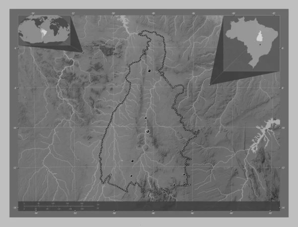
Tocantins, State Of Brazil. Grayscale Elevation Map With Lakes And Rivers. Locations Of Major Cities Of The Region. Corner Auxiliary Location Maps

Image, 7.74MB, 4930 × 3770 jpg
stock image Pernambuco, state of Brazil. Low resolution satellite map. Locations of major cities of the region. Corner auxiliary location maps

Pernambuco, State Of Brazil. Low Resolution Satellite Map. Locations Of Major Cities Of The Region. Corner Auxiliary Location Maps

Image, 10.35MB, 4930 × 3770 jpg
stock image Tocantins, state of Brazil. Bilevel elevation map with lakes and rivers

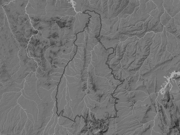
Tocantins, State Of Brazil. Bilevel Elevation Map With Lakes And Rivers

Image, 7.57MB, 3840 × 2880 jpg
stock image Pernambuco, state of Brazil. High resolution satellite map. Locations of major cities of the region. Corner auxiliary location maps

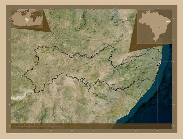
Pernambuco, State Of Brazil. High Resolution Satellite Map. Locations Of Major Cities Of The Region. Corner Auxiliary Location Maps

Image, 11.56MB, 4930 × 3770 jpg
stock image Tocantins, state of Brazil. Colored elevation map with lakes and rivers

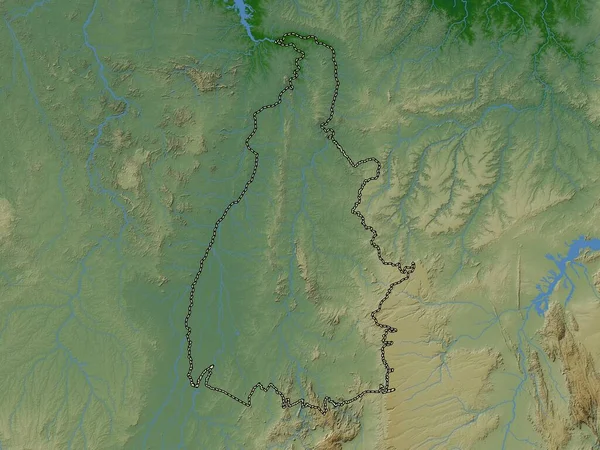
Tocantins, State Of Brazil. Colored Elevation Map With Lakes And Rivers

Image, 8.61MB, 3840 × 2880 jpg
Page 1 >> Next