photo free
Home Images Vectors Videos

Stock image California Roads

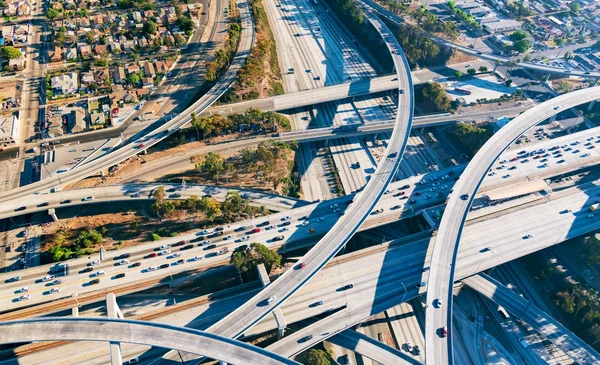
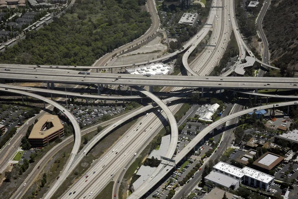
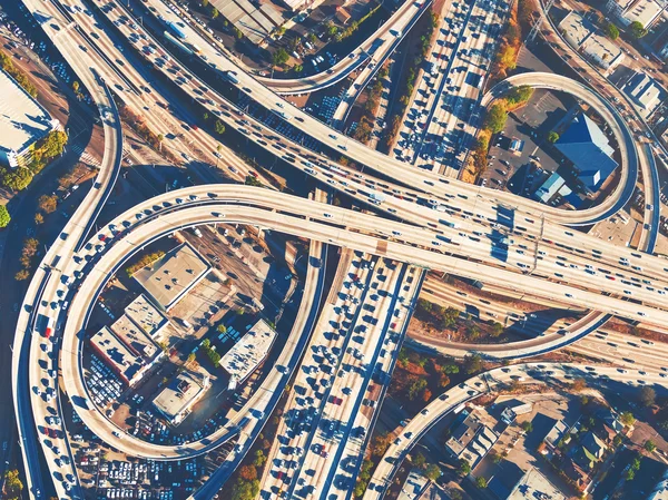
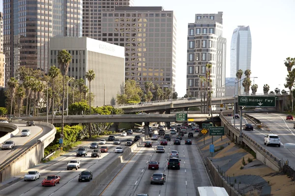
stock image Aerial view of a freeway intersection in Los Angeles

Aerial View Of A Freeway Intersection In Los Angeles

Image, 22.14MB, 7432 × 4531 jpg
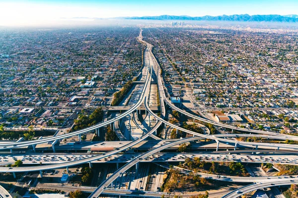
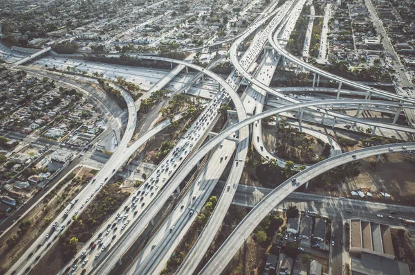
stock image Aerial view of a freeway intersection in Los Angeles

Aerial View Of A Freeway Intersection In Los Angeles

Image, 7MB, 6500 × 4336 jpg
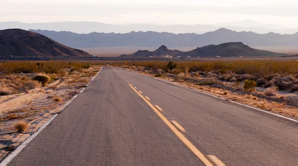
stock image Long Desert Highway California. Asphalt road in USA.

Long Desert Highway California. Asphalt Road In USA.

Image, 13.15MB, 5571 × 3718 jpg
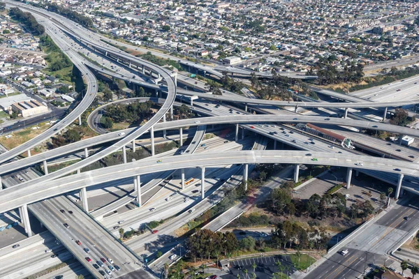
stock image Aerial view of a freeway intersection in Los Angeles

Aerial View Of A Freeway Intersection In Los Angeles

Image, 36.74MB, 7682 × 5124 jpg
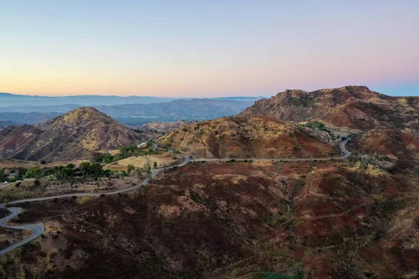
stock image Panoramic view of the famous Mulholland highway in Southern California at sunset.

Panoramic View Of The Famous Mulholland Highway In Southern California At Sunset.

Image, 8.2MB, 5472 × 3648 jpg
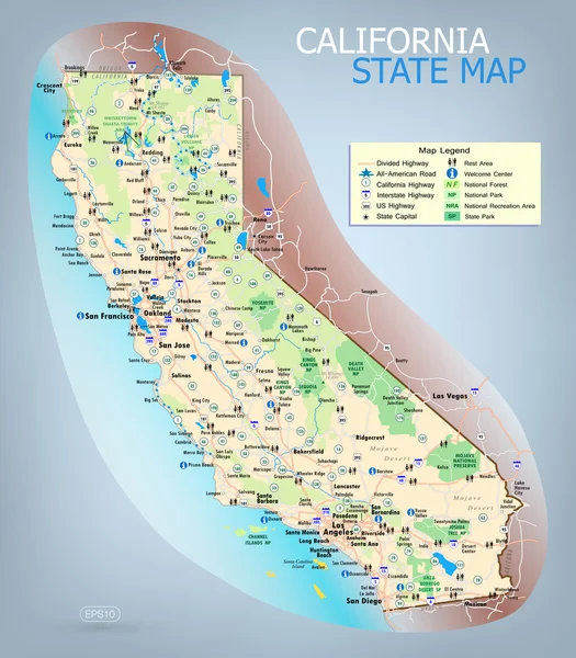
stock vector California State Map

California State Map

Vector, 9.24MB, 2480 × 2834 eps
stock image Panoramic view of the famous Mulholland highway in Southern California at sunset.

Panoramic View Of The Famous Mulholland Highway In Southern California At Sunset.

Image, 8.48MB, 5472 × 3648 jpg
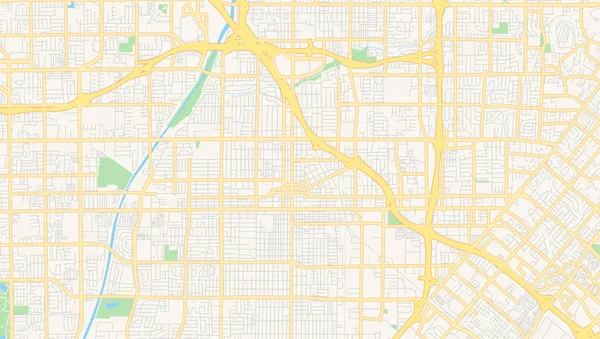
stock vector Empty vector map of Santa Ana, California, USA

Empty Vector Map Of Santa Ana, California, USA

Vector, 5.73MB, 7168 × 4060 eps
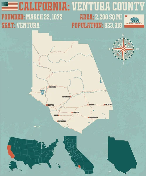
stock vector Large and detailed map of Ventura county in California, USA

Large And Detailed Map Of Ventura County In California, USA

Vector, 2.36MB, 4753 × 3489 ai
stock image Temple Street in Los Angeles

Temple Street In Los Angeles

Image, 15.68MB, 5211 × 3408 jpg
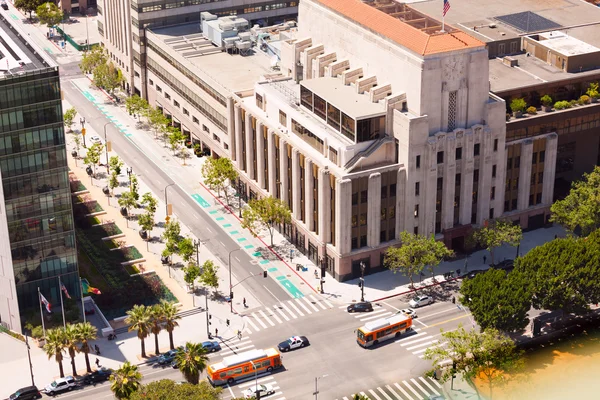
stock image Street and buildings in Los Angeles

Street And Buildings In Los Angeles

Image, 14.88MB, 5616 × 3744 jpg
stock image Bridge On Highway 1 Along The Pacific Ocean Near Big Sur

Bridge On Highway 1 Along The Pacific Ocean Near Big Sur

Image, 6.1MB, 5710 × 3799 jpg
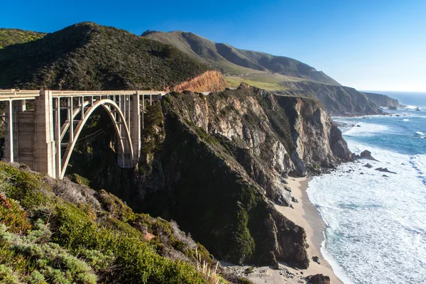
stock image Bixby Bridge and Coastline at Big Sur

Bixby Bridge And Coastline At Big Sur

Image, 5.18MB, 3872 × 2581 jpg
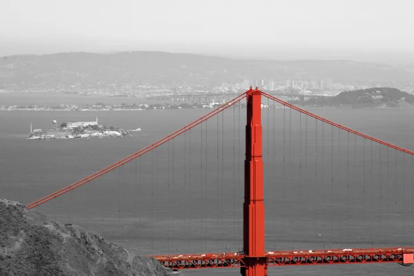
stock image Golden Gate Bridge and Alcatraz

Golden Gate Bridge And Alcatraz

Image, 3.02MB, 3504 × 2336 jpg
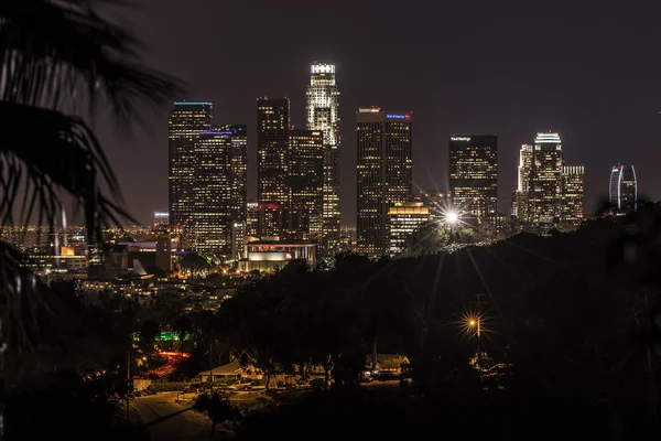
stock image Night LA

Night LA

Image, 12.2MB, 6522 × 4352 jpg
stock vector Large and detailed map of Ventura county in California.

Large And Detailed Map Of Ventura County In California.

Vector, 1.45MB, 4167 × 5000 ai
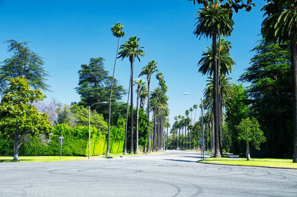
stock image The palm tree lined street of beverly hills, california on a sunny day.

The Palm Tree Lined Street Of Beverly Hills, California On A Sunny Day.

Image, 9.94MB, 4288 × 2848 jpg
stock vector Round button with detailed map of Kings County in California, USA.

Round Button With Detailed Map Of Kings County In California, USA.

Vector, 0.33MB, 5000 × 5000 ai
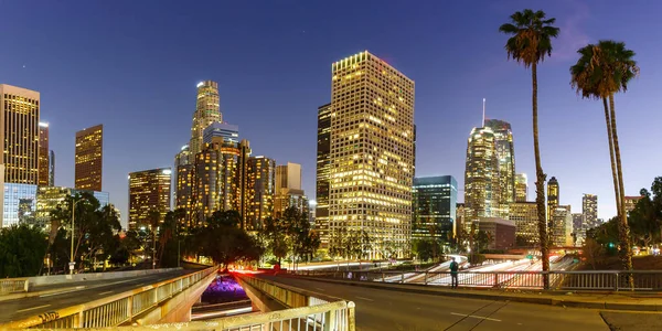
stock image Downtown Los Angeles skyline cityscape with skyscrapers at twilight panorama travel in California in the United States

Downtown Los Angeles Skyline Cityscape With Skyscrapers At Twilight Panorama Travel In California In The United States

Image, 9.29MB, 7000 × 3500 jpg
stock image Road Along West Fork Of San Gabriel River, California, Usa

Road Along West Fork Of San Gabriel River, California, Usa

Image, 9.01MB, 5617 × 3735 jpg
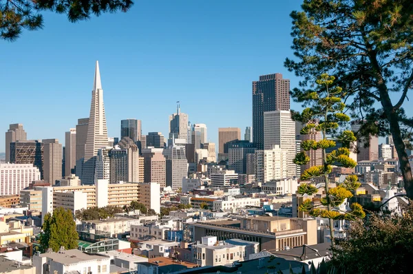
stock image Downtown of San Francisco.

Downtown Of San Francisco.

Image, 7.76MB, 4288 × 2848 jpg
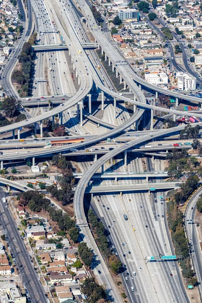
stock image Aerial view of highway interchange Harbor and Century Freeway traffic city portrait format in Los Angeles, USA

Aerial View Of Highway Interchange Harbor And Century Freeway Traffic City Portrait Format In Los Angeles, USA

Image, 11.96MB, 3648 × 5472 jpg
stock image Downtown LA

Downtown LA

Image, 10.57MB, 3334 × 5000 jpg
stock image Aerial view of freeway overpasses and bridges.

Aerial View Of Freeway Overpasses And Bridges.

Image, 7.08MB, 3872 × 2592 jpg
stock image female cyclist riding on road

Female Cyclist Riding On Road

Image, 8.85MB, 4805 × 3203 jpg
stock image Rural asphalt road among the fields in summer season. Empty asphalt highway.

Rural Asphalt Road Among The Fields In Summer Season. Empty Asphalt Highway.

Image, 7.94MB, 3093 × 4634 jpg
stock image Los angeles aerial view

Los Angeles Aerial View

Image, 9.65MB, 4259 × 2818 jpg
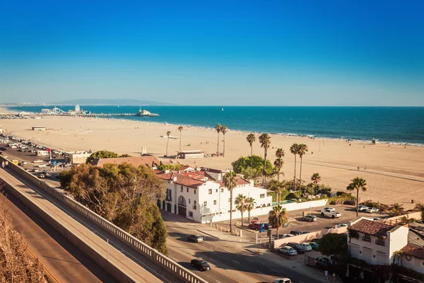
stock image Beautiful view on Santa Monica coast with amusement park

Beautiful View On Santa Monica Coast With Amusement Park

Image, 9.18MB, 5385 × 3590 jpg
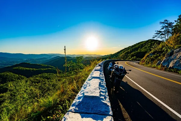
stock image A motorbike parked on the foothill parkway in TN

A Motorbike Parked On The Foothill Parkway In TN

Image, 18.13MB, 6000 × 4000 jpg
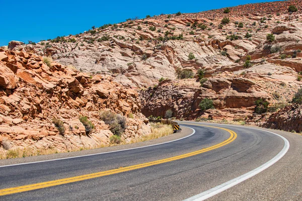
stock image Kelbaker Road Approaches Needles Freeway US 40 California Desert

Kelbaker Road Approaches Needles Freeway US 40 California Desert

Image, 10.77MB, 6047 × 3372 jpg
stock image Aerial view of freeway intersection in Los Angeles

Aerial View Of Freeway Intersection In Los Angeles

Image, 11.77MB, 3958 × 2965 jpg
stock image Coastal Hiway Southern California

Coastal Hiway Southern California

Image, 2.64MB, 3990 × 1928 jpg
stock image San Francisco

San Francisco

Image, 6.94MB, 2955 × 4432 jpg
stock image Aerial view of freeway intersection in Los Angeles

Aerial View Of Freeway Intersection In Los Angeles

Image, 31.64MB, 7887 × 4639 jpg
stock image Asphalt texture, way background. Side view asphalt road on sunny summer day. Asphalt road in USA.

Asphalt Texture, Way Background. Side View Asphalt Road On Sunny Summer Day. Asphalt Road In USA.

Image, 12.21MB, 4615 × 6915 jpg
stock image mojave wind farm

Mojave Wind Farm

Image, 6.37MB, 3281 × 4035 jpg
stock image Mohave desert by Route 66 in California Yucca Valley USA.
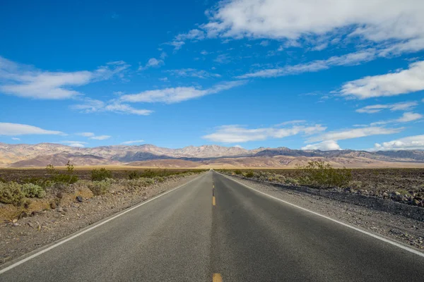
Mohave Desert By Route 66 In California Yucca Valley USA.

Image, 16.4MB, 5503 × 3672 jpg
stock image View of Los Angeles hills,  roads between hills and cityscape

View Of Los Angeles Hills, Roads Between Hills And Cityscape

Image, 8.46MB, 6000 × 4000 jpg
stock image Century Harbor Freeway interchange intersection junction Highway Los Angeles roads traffic America city aerial top view photo

Century Harbor Freeway Interchange Intersection Junction Highway Los Angeles Roads Traffic America City Aerial Top View Photo

Image, 8.29MB, 5472 × 3648 jpg
stock vector Large and detailed map of Kern county in California, USA

Large And Detailed Map Of Kern County In California, USA

Vector, 2.33MB, 5000 × 3000 ai
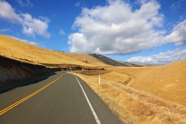
stock image California Countryside

California Countryside

Image, 12.31MB, 6000 × 4004 jpg
stock image Rural asphalt road among the fields in summer season.

Rural Asphalt Road Among The Fields In Summer Season.

Image, 16.16MB, 6655 × 4442 jpg
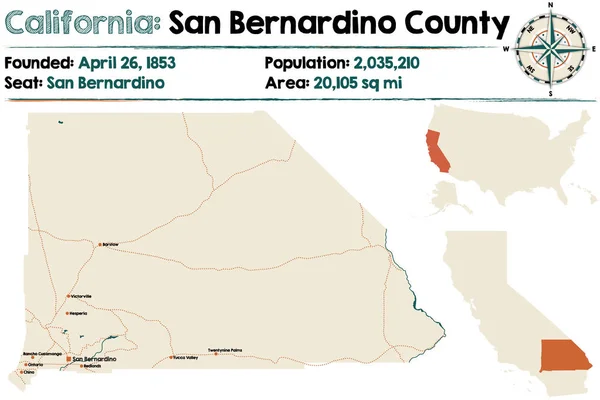
stock vector San Bernardino county in California

San Bernardino County In California

Vector, 1.73MB, 5000 × 3333 ai
stock image male cyclist riding fast

Male Cyclist Riding Fast

Image, 8.65MB, 5472 × 3648 jpg
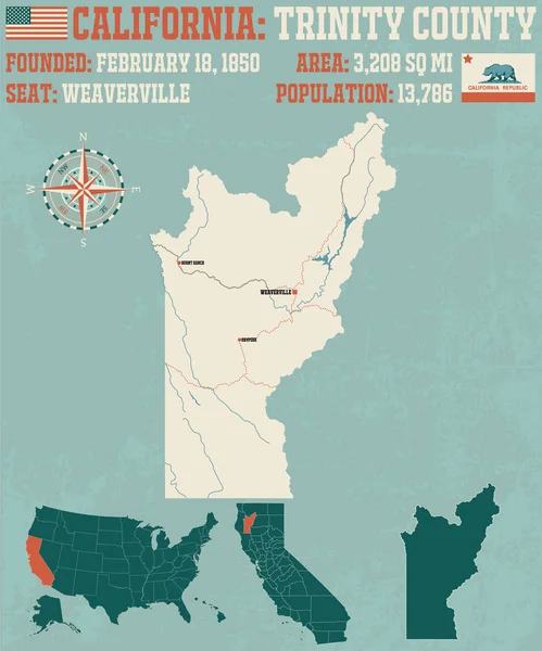
stock vector Large and detailed map of Trinity county in California.

Large And Detailed Map Of Trinity County In California.

Vector, 1.45MB, 4167 × 5000 ai
stock image State Route 190 through Death Valley near Stovepipe Wells

State Route 190 Through Death Valley Near Stovepipe Wells

Image, 8.29MB, 7173 × 4787 jpg
stock image American roads

American Roads

Image, 14.1MB, 5616 × 3744 jpg
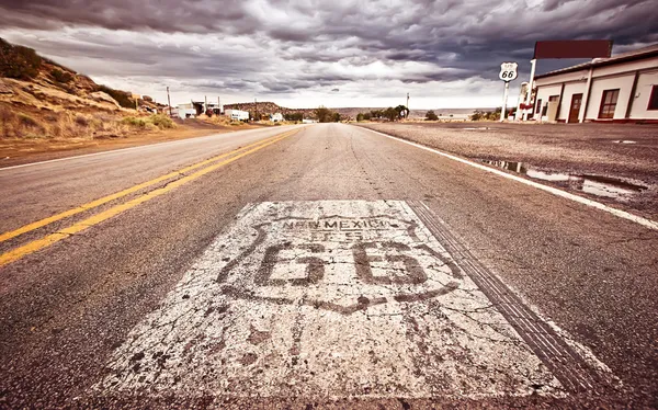
stock image An old Route 66 shield painted on road

An Old Route 66 Shield Painted On Road

Image, 11.84MB, 4250 × 2651 jpg
stock vector Two-digit interstate route shield, California

Two-digit Interstate Route Shield, California

Vector, 1.17MB, 2300 × 2300 eps
stock image los angeles freeway

Los Angeles Freeway

Image, 4.94MB, 3861 × 2574 jpg
Page 1 >> Next