
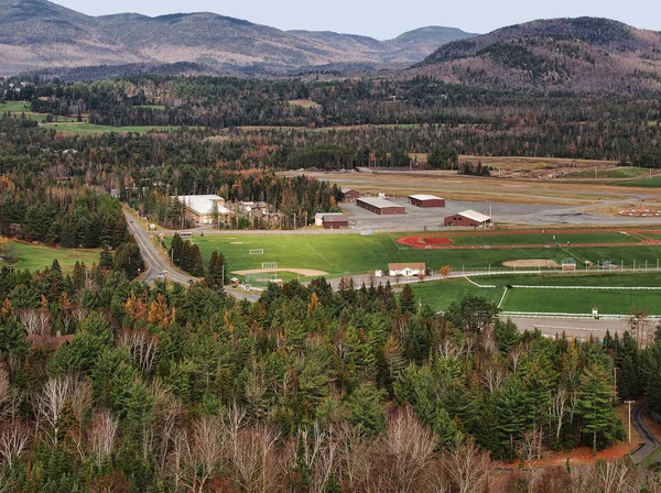
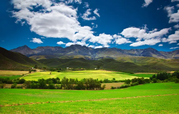
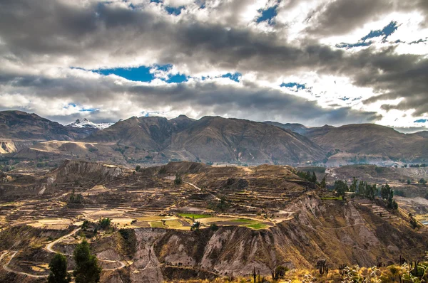
Stock image Campos De Cima Da Serra
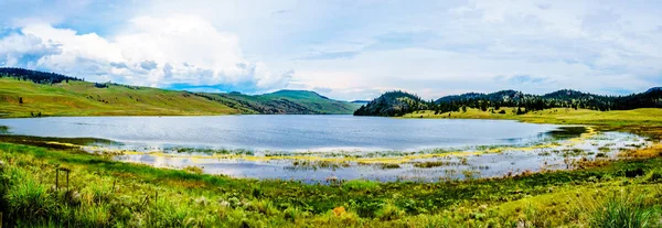
Panorama View Of Stump Lake Surrounded By The Rolling Hills And Wide Open Grass Lands Of The Nicola Valley Along Highway 5A, Between Merritt And Kamloops, British Columbia, Canada, Under Partly Cloudy Sky
Image, 15.99MB, 9349 × 3228 jpg
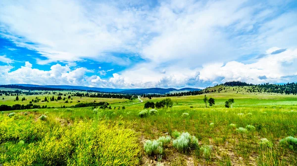
Highway 5A Winding Through The Wide Open Grass Lands Of The Nicola Valley, Between Merritt And Kamloops, British Columbia, Canada, Under Partly Cloudy Sky
Image, 17.89MB, 5973 × 3360 jpg
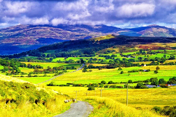
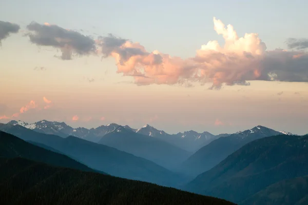
Road View To Mountains In Snowdonia National Park In North Wales Of The United Kingdom. Snowdonia Is A Mountain Range And A Region In North Of Wales. Europe
Image, 21.8MB, 5184 × 3456 jpg

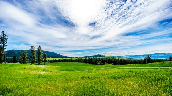
Ranch Land In The Nicola Valley Along Highway 5A Between Merritt And Kamloops, British Columbia, Canada
Image, 19.71MB, 5895 × 3316 jpg

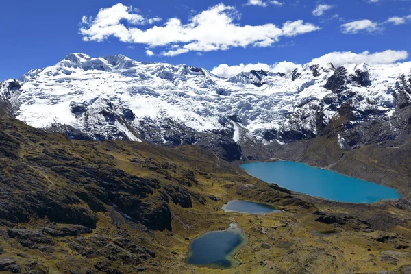
Rocky Mountain Among The Rolling Hills In The Nicola Valley Along Highway 5A Between Merritt And Kamloops, British Columbia, Canada Under Dark Cloudy Skies
Image, 15.48MB, 6000 × 3375 jpg
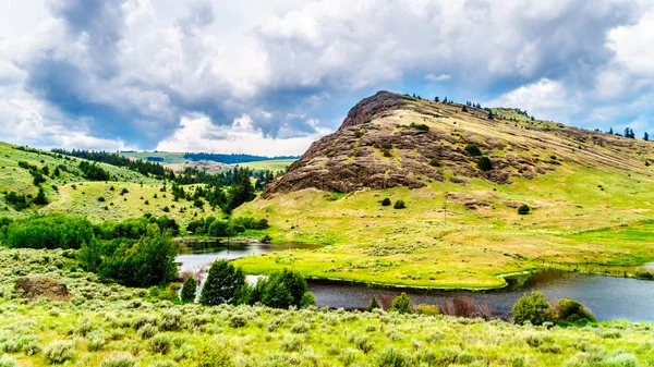
Rocky Mountain Among The Rolling Hills In The Nicola Valley Along Highway 5A Between Merritt And Kamloops, British Columbia, Canada Under Dark Cloudy Skies
Image, 17.78MB, 6000 × 3375 jpg

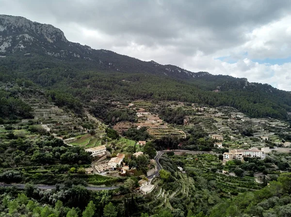
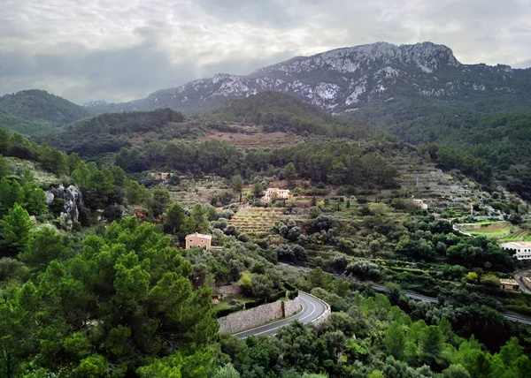
Aerial Drone View Of Small Hillside Banyalbufar Town On West Coast Of Mallorca. Surrounded By Tramuntana Mountain Range District Nestles Among Smaller Peaks, Where Scattered Farms And Vineyards. Spain
Image, 9.88MB, 3982 × 2983 jpg
Aerial Drone View Of Small Hillside Banyalbufar Town On West Coast Of Mallorca. Surrounded By Tramuntana Mountain Range District Nestles Among Smaller Peaks, Where Scattered Farms And Vineyards. Spain
Image, 9.25MB, 3982 × 2844 jpg
Aerial Drone View Of Small Hillside Banyalbufar Town On West Coast Of Mallorca. Surrounded By Tramuntana Mountain Range District Nestles Among Smaller Peaks, Where Scattered Farms And Vineyards. Spain
Image, 7.12MB, 3478 × 2373 jpg

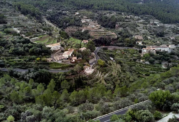
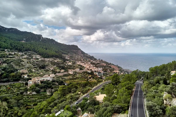
Aerial View Of Coastal Small Hillside Banyalbufar Town On West Coast Mallorca. Surrounded By Tramuntana Mountain Range District Nestles Among Smaller Peaks, Where Scattered Farms And Vineyards. Spain
Image, 10.23MB, 4014 × 2720 jpg
Aerial View Coastal Small Hillside Banyalbufar Town On West Coast Of Mallorca. Surrounded By Tramuntana Mountain Range District Nestles Among Smaller Peaks, Where Scattered Farms And Vineyards. Spain
Image, 8.79MB, 3982 × 2643 jpg

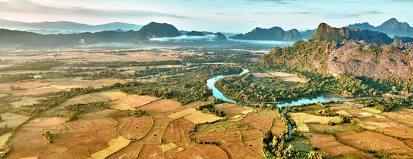
Troodos Mountains, Cyprus. Agricultural Fields On Mountainous Terrain
Image, 21.27MB, 5946 × 3345 jpg


Rocks And Cliff Of Romania Gorges. Beautiful Mountain Landscape View. Scenic Nature Of Apuseni Natural Park. Rural Fields On The Nearest Hills. Sunny Day.
Image, 5.05MB, 3110 × 2074 jpg
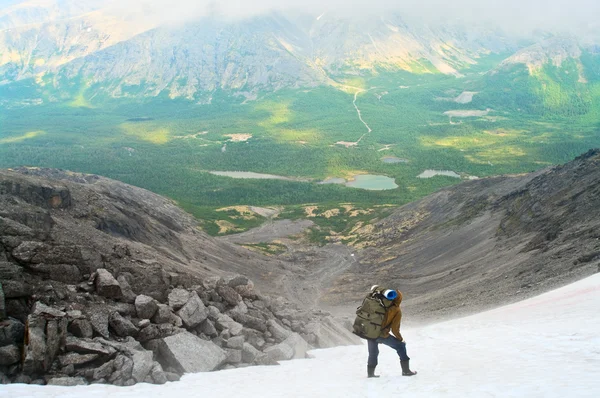
Man In Mountain Standing Near Lake And Looking At Camera From Far Away
Image, 7.21MB, 2515 × 3785 jpg

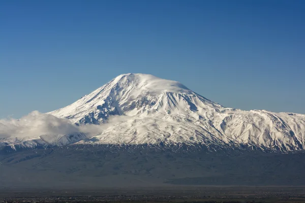


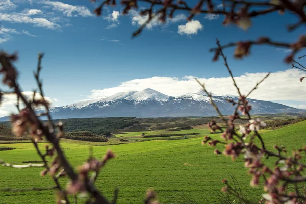
Snow-capped Big Top Of Ararat Mountain With Blooming Apricot Tree In The Foreground, View From Yerevan
Image, 7.63MB, 5412 × 3340 jpg


Panorama Of Snow-capped Ararat Mountain In The Morning, View From Yerevan
Image, 22.53MB, 21027 × 5905 jpg
Page 1 >> Next