photo free
Home Images Vectors Videos

Stock image Cartographer

stock image Surveying in Chicago

Surveying In Chicago

Image, 3.71MB, 3674 × 2449 jpg
stock image Cadastre Land Development Map And Developer Plot

Cadastre Land Development Map And Developer Plot

Image, 17.92MB, 9504 × 6336 jpg
stock image Total station prism with survey worker hands 2

Total Station Prism With Survey Worker Hands 2

Image, 6.83MB, 4520 × 3013 jpg
stock vector Travel concept. Navigation - You are here. International passport, boarding pass, tickets, magnets and key on the map background

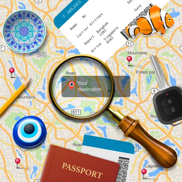
Travel Concept. Navigation - You Are Here. International Passport, Boarding Pass, Tickets, Magnets And Key On The Map Background

Vector, 8.5MB, 4500 × 4500 eps
stock image Land Surveyor in the field

Land Surveyor In The Field

Image, 3.36MB, 3888 × 2592 jpg
stock image Theodolite set on the edge of road

Theodolite Set On The Edge Of Road

Image, 3.71MB, 3888 × 2592 jpg
stock image Surveyor engineer making measuring with theodolite

Surveyor Engineer Making Measuring With Theodolite

Image, 8.83MB, 5616 × 3744 jpg
stock image Site surveyor

Site Surveyor

Image, 8.77MB, 3744 × 5616 jpg
stock image Surveying

Surveying

Image, 4.49MB, 2382 × 3572 jpg
stock image Imaginary cadastral map of territory with relief map and metal s

Imaginary Cadastral Map Of Territory With Relief Map And Metal S

Image, 25.9MB, 7872 × 3168 jpg
stock image Surveying

Surveying

Image, 7.48MB, 2592 × 3888 jpg
stock image Computerized land registries - concept image with an imaginary c

Computerized Land Registries - Concept Image With An Imaginary C

Image, 5.94MB, 4742 × 3161 jpg
stock image Maps and passport

Maps And Passport

Image, 2.08MB, 2361 × 2420 jpg
stock image Cadastral reform concept image with an imaginary cadastral map o

Cadastral Reform Concept Image With An Imaginary Cadastral Map O

Image, 8.18MB, 5476 × 3570 jpg
stock vector treasure map

Treasure Map

Vector, 5.47MB, 3626 × 4410 eps
stock image Imaginary cadastral map of territory with buildings, roads and land parcel with copy space for text insertion over a cardboard background.

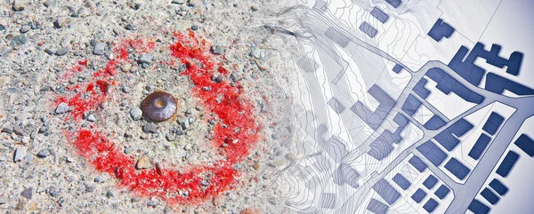
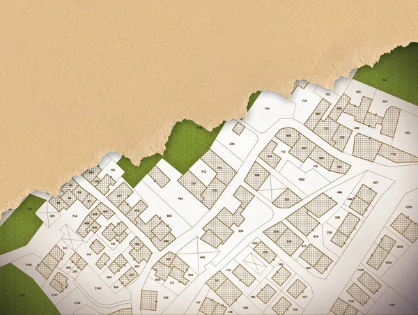
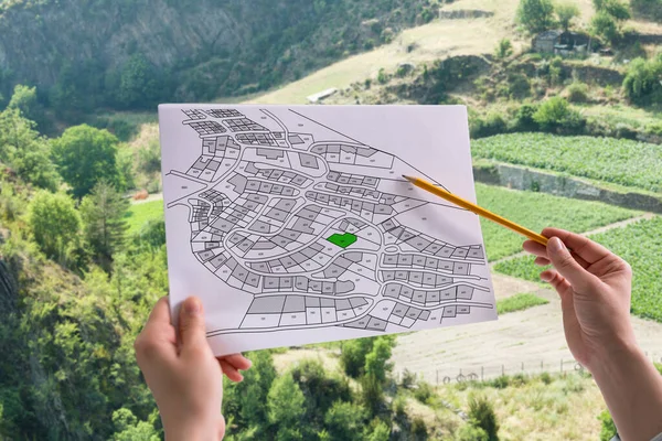
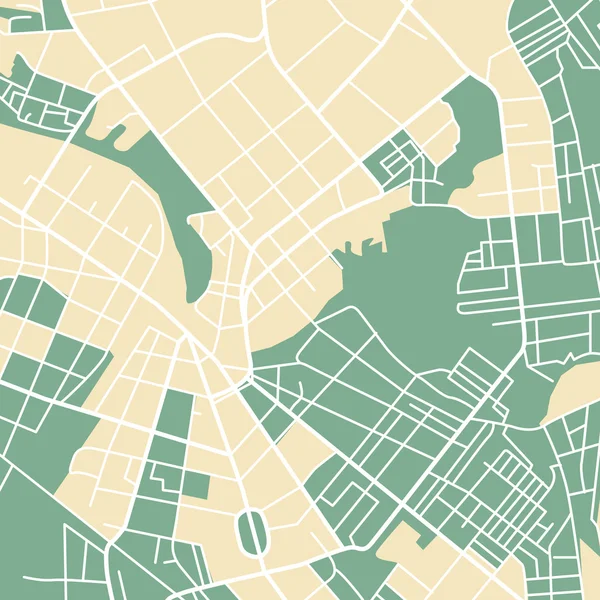
Imaginary Cadastral Map Of Territory With Buildings, Roads And Land Parcel With Copy Space For Text Insertion Over A Cardboard Background.

Image, 19.39MB, 5286 × 3989 jpg
stock image Total station survey tripod

Total Station Survey Tripod

Image, 22.28MB, 5184 × 3456 jpg
stock image Prism againts cloudy sky

Prism Againts Cloudy Sky

Image, 3.12MB, 3612 × 2408 jpg
stock image Stake with shown elevation

Stake With Shown Elevation

Image, 9.01MB, 2592 × 3888 jpg
stock vector City map

City Map

Vector, 0.53MB, 5000 × 5000 eps
stock image Khanty-Mansiysk city. Ugra. Russia. Sculpture group

Khanty-Mansiysk City. Ugra. Russia. Sculpture Group "To The Discoverers Of Siberia" Fragment Sculpture Miller GF , Bering V.I., Ovtsyn D.L., Miller G.F. In The City Of Khanty-Mansiysk UGRA

Image, 4.55MB, 3008 × 2000 jpg
stock image Surveying during colorful fall

Surveying During Colorful Fall

Image, 5.28MB, 3888 × 2481 jpg
stock image Surveying

Surveying

Image, 6.05MB, 3888 × 2592 jpg
stock image GPS unit, Total station and Prism

GPS Unit, Total Station And Prism

Image, 4.61MB, 2452 × 3692 jpg
stock image Surveyor working with theodolite

Surveyor Working With Theodolite

Image, 7.09MB, 2592 × 3888 jpg
stock image Survey Instrument geodetic device, total station set in the fiel

Survey Instrument Geodetic Device, Total Station Set In The Fiel

Image, 11.53MB, 3456 × 5184 jpg
stock image Surveying by the lake

Surveying By The Lake

Image, 8.14MB, 2501 × 3751 jpg
stock image Land surveyor working

Land Surveyor Working

Image, 8.23MB, 3456 × 5184 jpg
stock image Surveying

Surveying

Image, 6.93MB, 2592 × 3888 jpg
stock image Theodolite on the rooftop

Theodolite On The Rooftop

Image, 3.65MB, 3888 × 2592 jpg
stock image Surveying the Rooftop

Surveying The Rooftop

Image, 3.29MB, 3888 × 2592 jpg
stock image Geodetic bollard in the grass. Help in creating maps. Terrain measurements. Plotting borders. Geodetic plans.

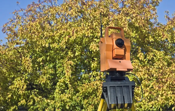
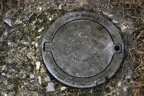
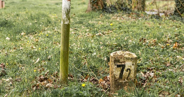
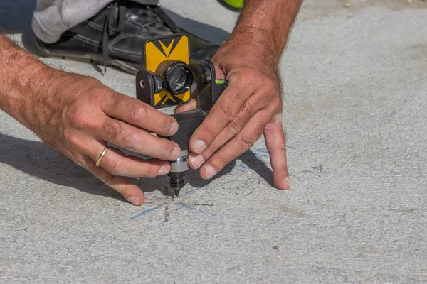
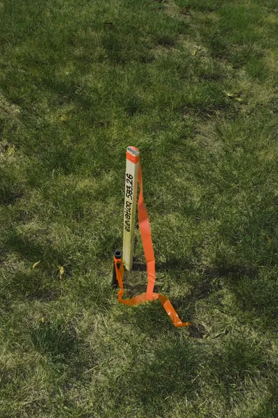
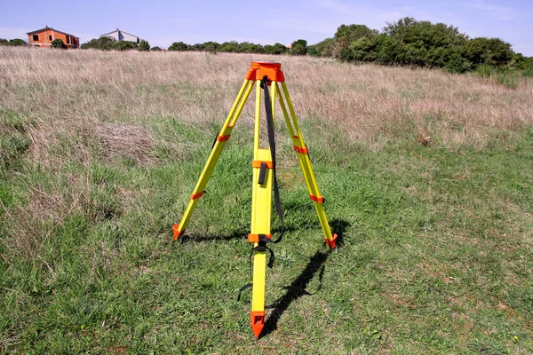
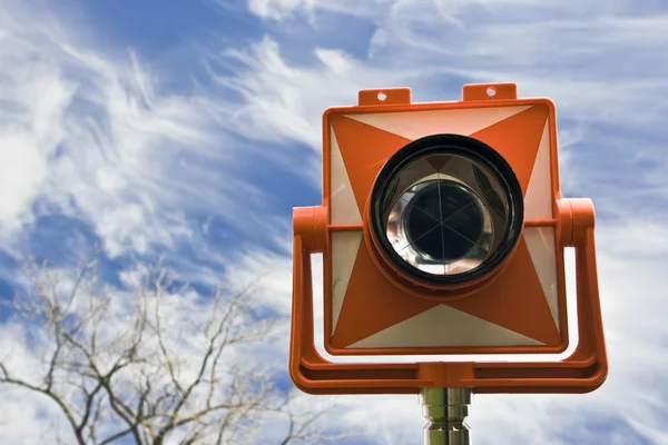
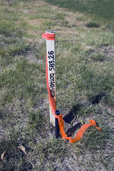
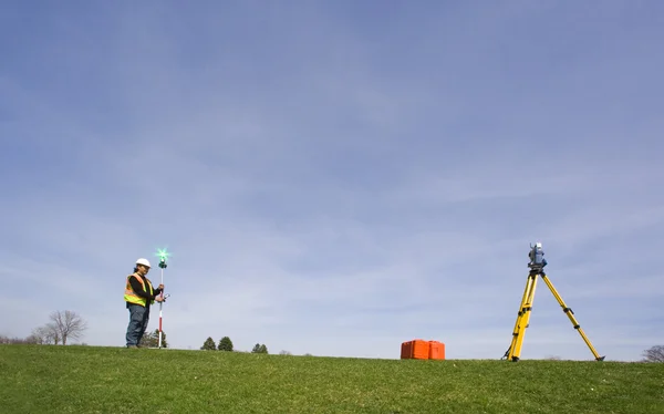
Geodetic Bollard In The Grass. Help In Creating Maps. Terrain Measurements. Plotting Borders. Geodetic Plans.

Image, 12.64MB, 5443 × 2889 jpg
stock image Survey equipment ready for work

Survey Equipment Ready For Work

Image, 5.12MB, 2304 × 3456 jpg
stock image SUrveying during winter in CHicago

SUrveying During Winter In CHicago

Image, 3.44MB, 3647 × 2432 jpg
stock image Surveying

Surveying

Image, 3.17MB, 2592 × 3888 jpg
stock image Surveying

Surveying

Image, 3.34MB, 2427 × 3641 jpg
stock image GPS survey on white background, global position system

GPS Survey On White Background, Global Position System

Image, 1.97MB, 2948 × 4149 jpg
stock image Surveying

Surveying

Image, 5.66MB, 2540 × 3810 jpg
stock image GPS unit, Total station and Prism

GPS Unit, Total Station And Prism

Image, 2.97MB, 2000 × 3000 jpg
stock image Surveying

Surveying

Image, 4.31MB, 3607 × 2406 jpg
stock image Surveying

Surveying

Image, 3.86MB, 3888 × 2592 jpg
stock vector Amerigo Vespucci, 1454-1512, he was an Italian explorer, financier, navigator and cartographer, vintage line drawing or engraving illustration

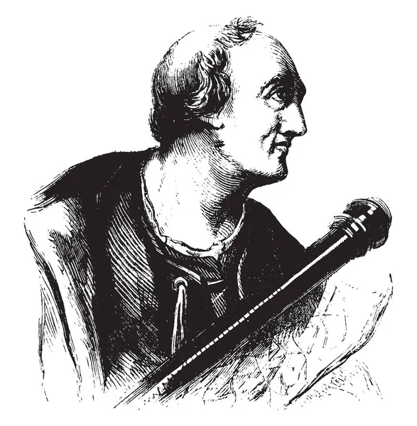
Amerigo Vespucci, 1454-1512, He Was An Italian Explorer, Financier, Navigator And Cartographer, Vintage Line Drawing Or Engraving Illustration

Vector, 4.02MB, 7807 × 7975 eps
stock image service road man in orange jacket, Switzerland, alpine mountains, sunny, blue sky, view from car

Service Road Man In Orange Jacket, Switzerland, Alpine Mountains, Sunny, Blue Sky, View From Car

Image, 8MB, 5472 × 3648 jpg
stock image Surveyor on green field

Surveyor On Green Field

Image, 17.92MB, 7000 × 4204 jpg
stock vector Map of Turkey

Map Of Turkey

Vector, 2.71MB, 6191 × 2585 ai
stock image Surveying

Surveying

Image, 4.38MB, 2433 × 3650 jpg
stock image Reflection in the prism

Reflection In The Prism

Image, 2.27MB, 3000 × 1872 jpg
stock image GPS surveying

GPS Surveying

Image, 9.35MB, 3456 × 5184 jpg
stock image GPS unit in the field

GPS Unit In The Field

Image, 7.55MB, 3351 × 5184 jpg
stock image close up of a hand on an land map

Close Up Of A Hand On An Land Map

Image, 12.17MB, 5184 × 3456 jpg
Page 1 >> Next