
Stock image Coastal Mountains page 2


Beautiful Aerial Landscape View Of Coquitlam Mountain During A Colorful Cloudy Sunset. Taken In Vancouver, British Columbia, Canada.
Image, 11.51MB, 5447 × 3631 jpg

Sunset Over Nicomen Slough Along The Lougheed Highway Between The Towns Of Deroche And Mission, British Columbia, Canada
Image, 13.57MB, 5904 × 3321 jpg


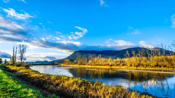
The Alouette River Seen From The Dyke At The Pitt Polder Near Maple Ridge In British Columbia, Canada With The Golden Ears Mountain In The Background
Image, 17.96MB, 5966 × 3356 jpg

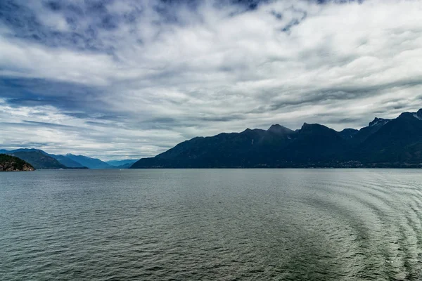
Ocean Scenery With Mountains And Lush Forests Off Pacific Ocean, BC, Canada
Image, 22.43MB, 5830 × 3887 jpg


Sun Shining Through The Clouds On The Snow Capped Peak Of Coquitlam Mountain In The Coast Mountain Range Seen From The Shore Of Pitt Lake In The Fraser Valley Of British Columbia, Canada
Image, 12.15MB, 5509 × 3673 jpg


Beautiful Aerial Landscape View Of Mountain Peaks Near Squamish, North Of Vancouver, British Columbia, Canada. Taken During A Colorful Summer Sunset.
Image, 5.2MB, 5229 × 3486 jpg
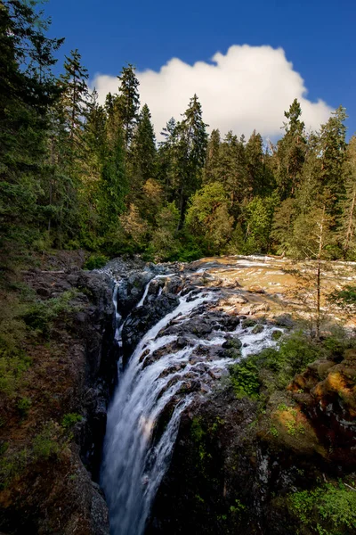
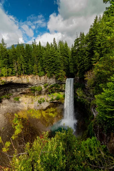
Bright Day Near The Falls - Englishman River Falls, Vancouver Island, BC
Image, 23.54MB, 4000 × 6000 jpg


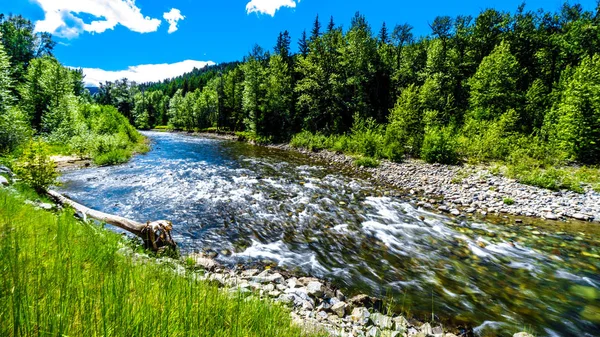
The Fast Flowing Water Of The Coldwater River Near The Intersection Between The Coldwater Road And The Coquihalla Highway Between Hope And Merritt In British Columbia, Canada
Image, 17.44MB, 6000 × 3375 jpg

Red Colored Cranberry Fields Near Pitt Meadows With The Snow Capped Peaks Of The Golden Ears, Tingle Peak And Other Mountain Peaks Of The Coast Mountains In The Fraser Valley Of British Columbia
Image, 13MB, 5797 × 3261 jpg


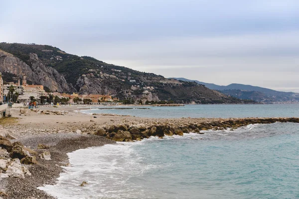
Caucasus Mountains In Spring. Coastal Green Mountain Range In Spring. The Sea Is Calm. In The Sky, Clouds Cover The Sun.
Image, 14.15MB, 5616 × 3664 jpg

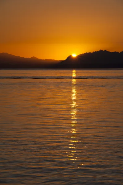
Sunset Over The Fraser River Near Fort Langley In The Middle Of Winter
Image, 6.85MB, 3771 × 2121 jpg
The Fast Flowing Water Of The Coldwater River Near The Intersection Between The Coldwater Road And The Coquihalla Highway Between Hope And Merritt In British Columbia, Canada
Image, 18.25MB, 6000 × 3375 jpg

Lush Grasslands And Farmland Along Highway 5A Between The Towns Of Merritt And Princeton In Beautiful British Columbia, Canada
Image, 23.44MB, 5816 × 3272 jpg

Aerial Landscape View Of Tantalus Range. Taken Near Squamish North From Vancouver, British Columbia, Canada.
Image, 5.4MB, 5248 × 3499 jpg

Artistic View Of The Bedford Channel Off The Fraser River Near Fort Langley, British Columbia
Image, 8.17MB, 3771 × 2121 jpg
Sunset Over Brea Island And Bedford Channel Of The Fraser River Near Fort Langley
Image, 8.93MB, 3771 × 2121 jpg

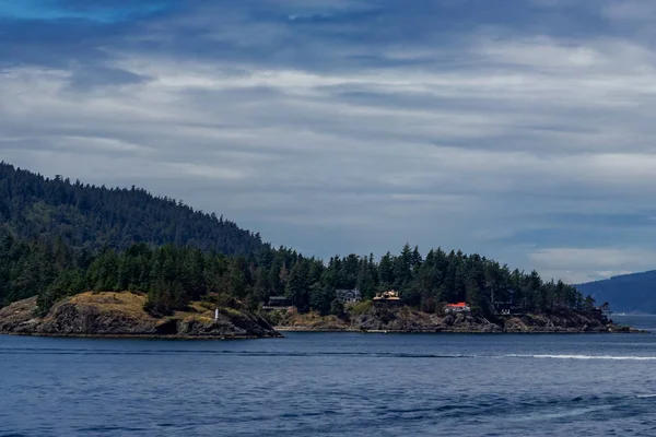
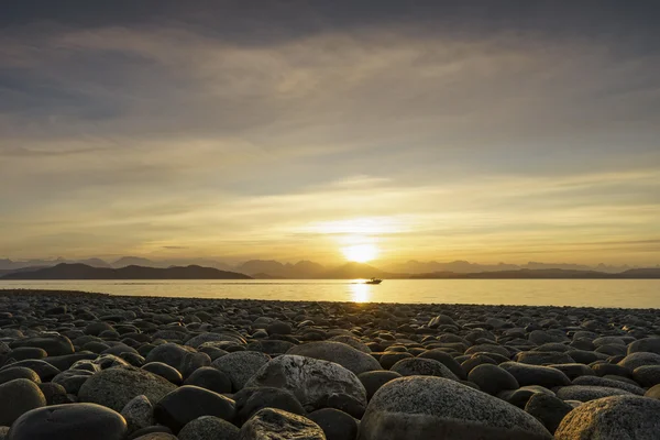
Pacific Channel Islands Off BC Mainland On The Pacific Ocean, BC, Canada
Image, 17.33MB, 6000 × 4001 jpg
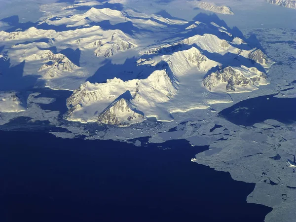
View Of The Northern Antarctic Peninsula From High Altitude During IceBridge's Flight Back From The Foundation Ice Stream, On Oct. 28. Elements Of This Image Furnished By Nasa
Image, 4.61MB, 2560 × 1920 jpg
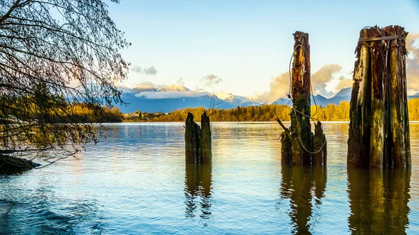
Sunset Over The Fraser River With Wooden Pilings In The Foreground That Are Used To Tie Down Log Booms Coming Down The Fraser River
Image, 8.08MB, 3771 × 2121 jpg

The Dyke Separating Pitt Lake And Pitt-Addington Marsh Surrounded By The Snow Capped Peaks Of The Coast Mountain Range In The Fraser Valley Of British Columbia, Canada
Image, 14.67MB, 5850 × 3291 jpg


Beautiful Aerial Landscape View From A Small Airplane Flying Over Tantalus Range Near Squamish, North Of Vancouver, British Columbia, Canada.
Image, 3.37MB, 4000 × 3000 jpg
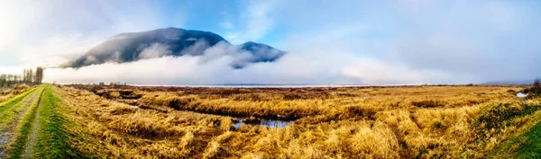
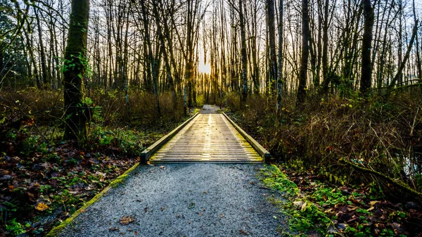
Fog Hanging Over The Pitt River And The Waters Of Pitt-Addington Marsh In Pitt Polder Near Maple Ridge In British Columbia, Canada
Image, 14.92MB, 8582 × 2541 jpg
Previous << Page 2 >> Next