
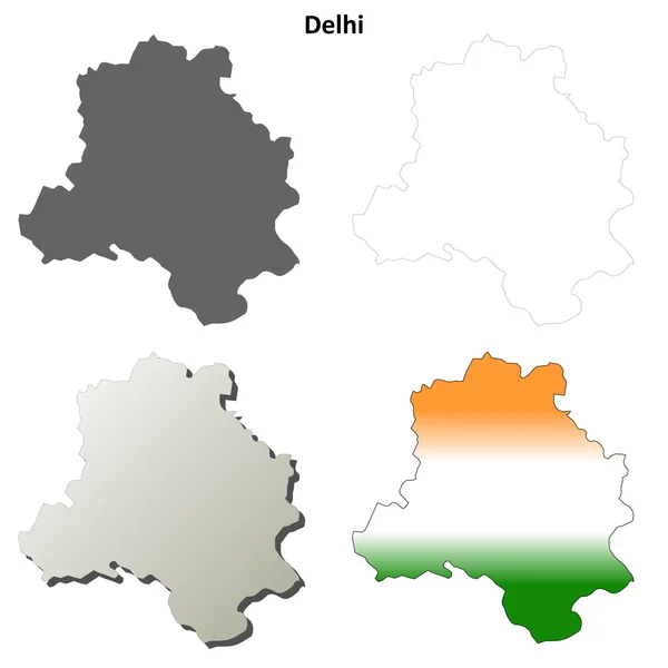
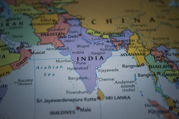
Stock image Delhi Region


Kandariya Mahadeva Hindu Temple At Khajuraho In The Madhya Pradesh Region Of India.
Image, 7.18MB, 2592 × 2592 jpg

Kandariya Mahadeva Hindu Temple At Khajuraho In The Madhya Pradesh Region Of India.
Image, 7.05MB, 3822 × 2548 jpg
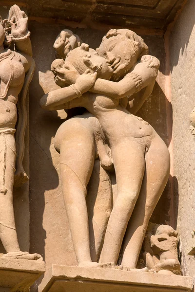
Kandariya Mahadeva Hindu Temple At Khajuraho In The Madhya Pradesh Region Of India.
Image, 8.87MB, 2592 × 3888 jpg

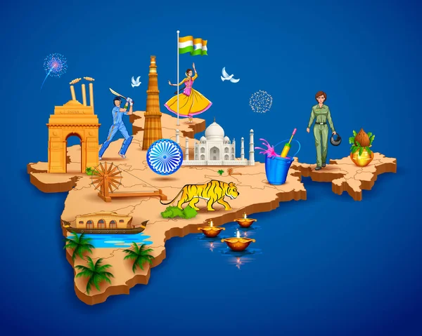
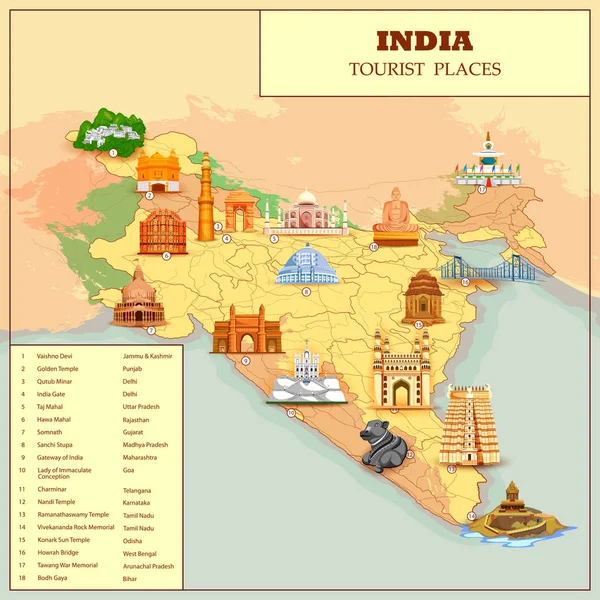
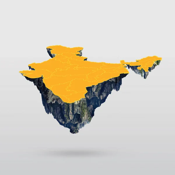
Detailed 3d Map Of India Showing Different Monument And Famous Places
Vector, 8.04MB, 6250 × 5000 eps

Leh, India - June 24, 2015 : Poor Old Man On The Street Market In Mountain Village Leh, Ladakh Region, North India, Close Up. Poverty Is A Major Issue In India
Image, 18.36MB, 3648 × 5472 jpg


Sikkim, State Of India. Sentinel-2 Satellite Imagery. Shape Isolated On Solid Background With Informative Overlays. Contains Modified Copernicus Sentinel Data
Image, 5.82MB, 3144 × 3180 jpg


Zoom In On Maharashtra (state Of India) Extruded. Oblique Perspective. Topographic Relief Map With Surface Waters. 3D Rendering
Image, 1.69MB, 3840 × 2160 jpg


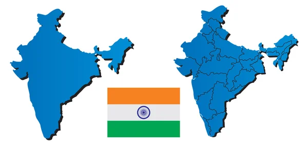
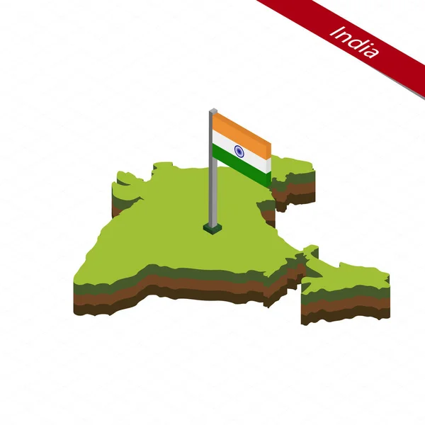
India Map And New Delhi With Location Map Pin And India Flag On Travel Map Of Asia - Republic Of India
Image, 0MB, 7000 × 4599 jpg


Shape Of Uttar Pradesh, State Of India, With Its Capital Isolated On White Background. Composition Of Patterned Textures. 3D Rendering
Image, 10.83MB, 3836 × 3688 jpg


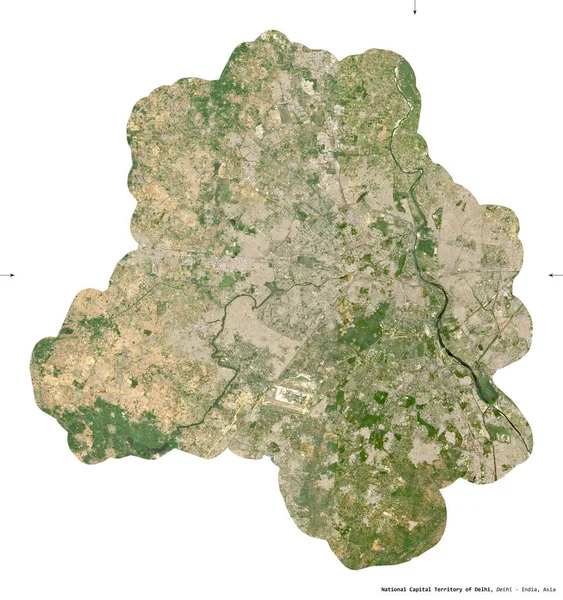
National Capital Territory Of Delhi, Union Territory Of India. Sentinel-2 Satellite Imagery. Shape Isolated On White. Description, Location Of The Capital. Contains Modified Copernicus Sentinel Data
Image, 9.01MB, 3065 × 3262 jpg
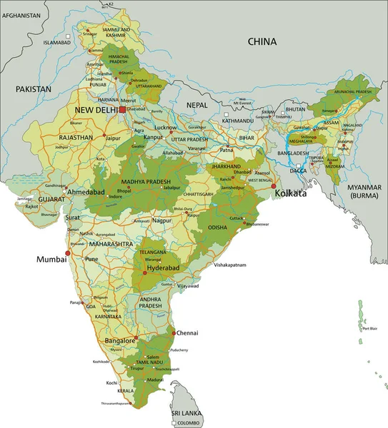
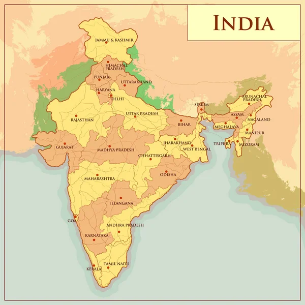
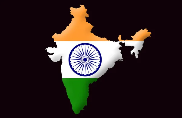
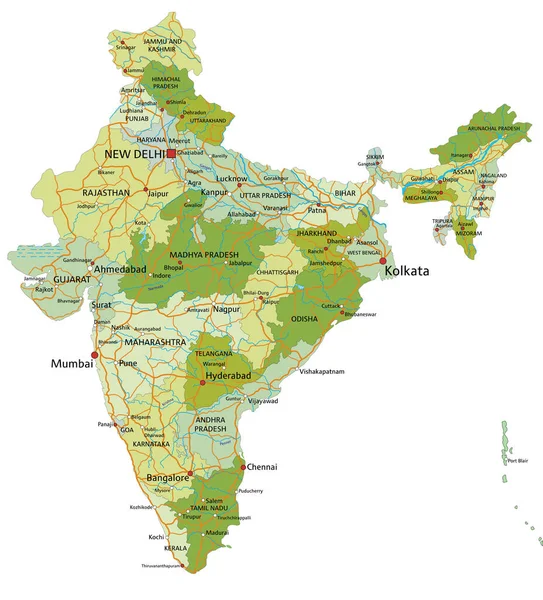
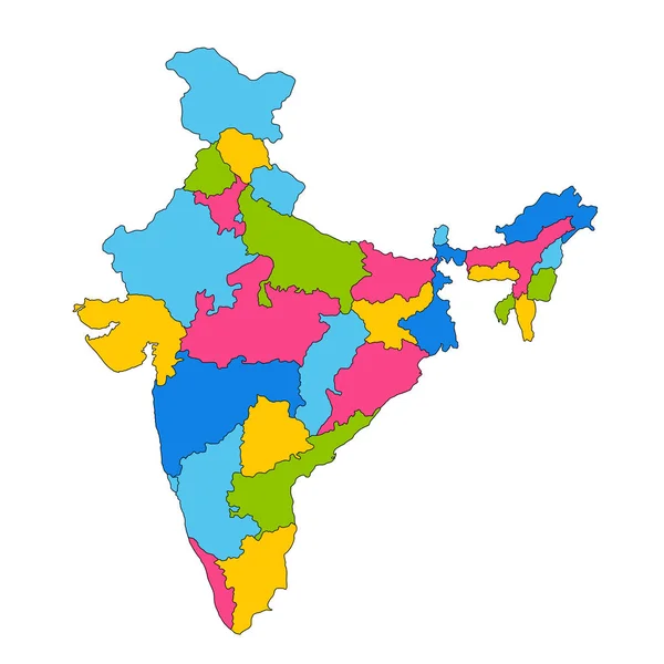
Highly Detailed Editable Political Map With Separated Layers. India.
Vector, 6.82MB, 4185 × 4624 eps


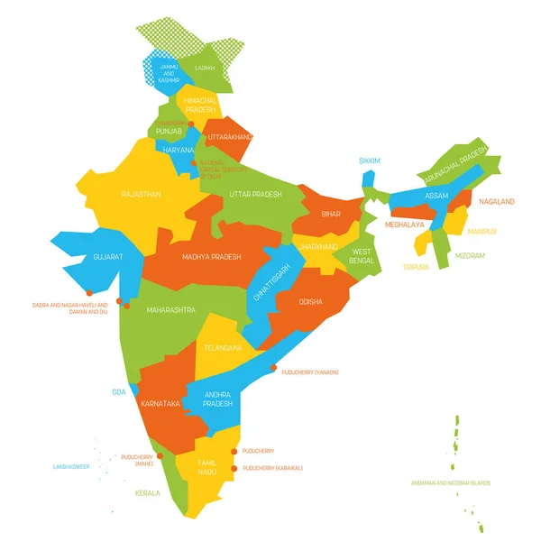
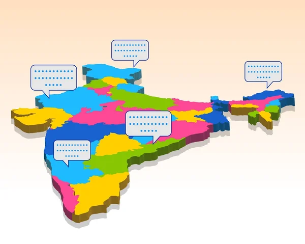
India Political Isometric Map Divide By State Colorful Outline Simplicity Style. Vector Illustration.
Vector, 5.68MB, 11043 × 7252 eps

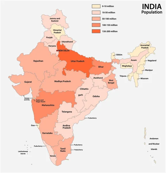
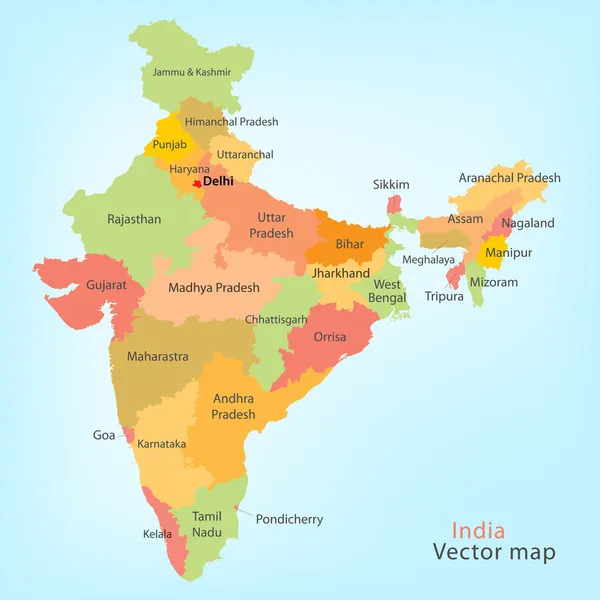
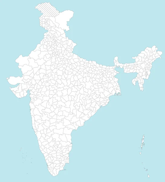
India New Map With States Name. India Map 2020. New States Division In India.
Vector, 6.05MB, 2446 × 3000 eps


Page 1 >> Next