
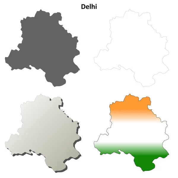
Stock image Delhi Territory


Snake Charmer Tempting Cobra Snakes Out Of Their Wicker Baskets Outside The Red Fort, Delhi, India.
Image, 10.55MB, 4000 × 3211 jpg
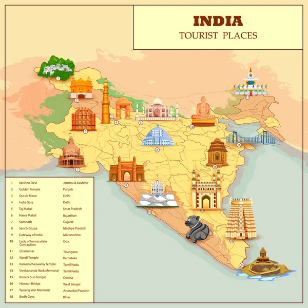
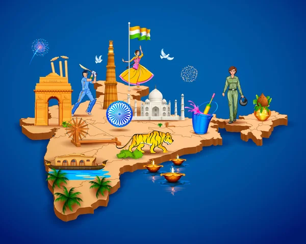
Detailed 3d Map Of India Showing Different Monument And Famous Places
Vector, 8.04MB, 6250 × 5000 eps

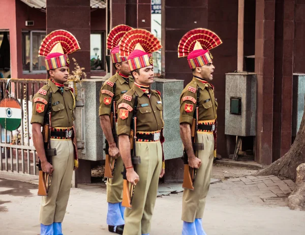
Petrapole-Benapole, Bangaon, West Bengal, 5th Jan, 2019: Joint Retreat Ceremony, Military Parade Show Same As Wagah Border Between Soldiers Of Security Force India BSF And Border Guards Bangladesh BBG
Image, 9.84MB, 5176 × 4000 jpg


Sikkim, State Of India. Sentinel-2 Satellite Imagery. Shape Isolated On Solid Background With Informative Overlays. Contains Modified Copernicus Sentinel Data
Image, 5.82MB, 3144 × 3180 jpg
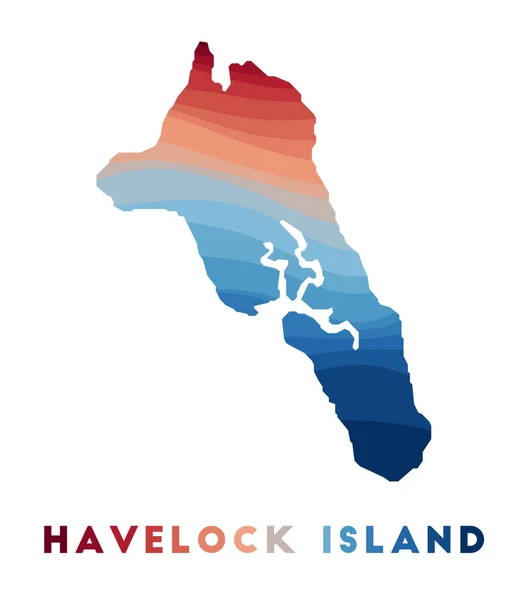
Havelock Island Map Map Of The Island With Beautiful Geometric Waves In Red Blue Colors Vivid
Vector, 0.37MB, 5168 × 5831 eps


Zoom In On Maharashtra (state Of India) Extruded. Oblique Perspective. Topographic Relief Map With Surface Waters. 3D Rendering
Image, 1.69MB, 3840 × 2160 jpg

Flag Of India Color Line Icon. Airline Network. International Flights. Popular Tourist Destination. Pictogram For Web Page, Mobile App, Promo. UI UX GUI Design Element. Editable Stroke.
Vector, 5.29MB, 4168 × 4168 eps

Cartoon Vector Map Of India. Travel Illustration With Indian Main Cities.
Vector, 7.41MB, 4000 × 5000 eps

Shape Of Uttar Pradesh, State Of India, With Its Capital Isolated On White Background. Composition Of Patterned Textures. 3D Rendering
Image, 10.83MB, 3836 × 3688 jpg


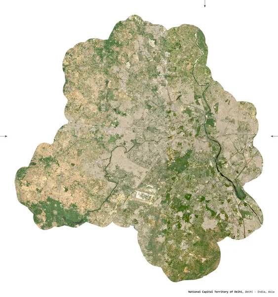
National Capital Territory Of Delhi, Union Territory Of India. Sentinel-2 Satellite Imagery. Shape Isolated On White. Description, Location Of The Capital. Contains Modified Copernicus Sentinel Data
Image, 9.01MB, 3065 × 3262 jpg
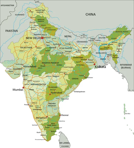
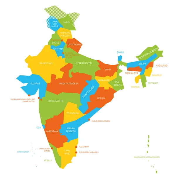
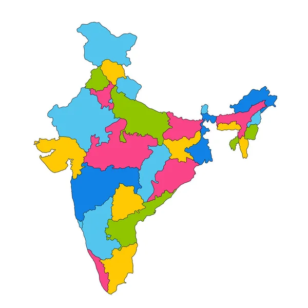
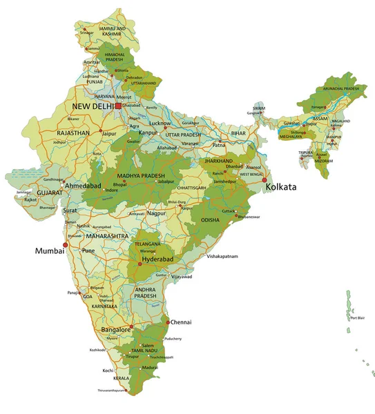
Highly Detailed Editable Political Map With Separated Layers. India.
Vector, 6.82MB, 4185 × 4624 eps


India Political Isometric Map Divide By State Colorful Outline Simplicity Style. Vector Illustration.
Vector, 5.68MB, 11043 × 7252 eps

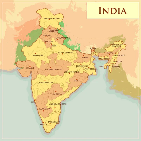
India New Map With States Name. India Map 2020. New States Division In India.
Vector, 6.05MB, 2446 × 3000 eps
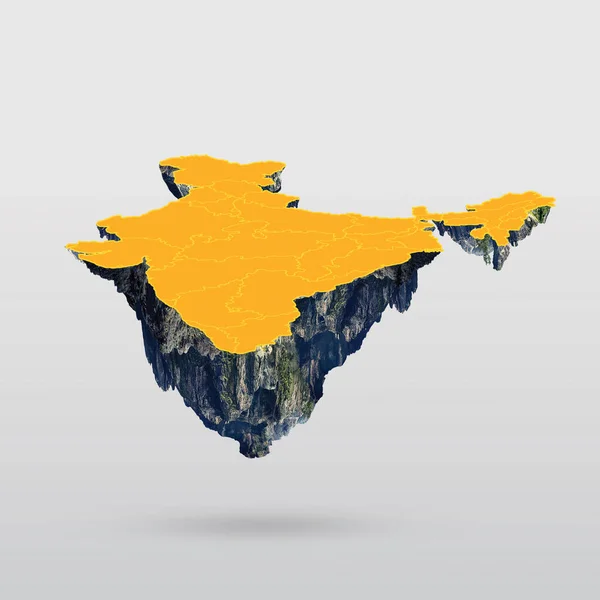


3D Map Of India. All New States Name In India With Different Colour. India Map 2020 .
Vector, 7MB, 2650 × 2999 eps
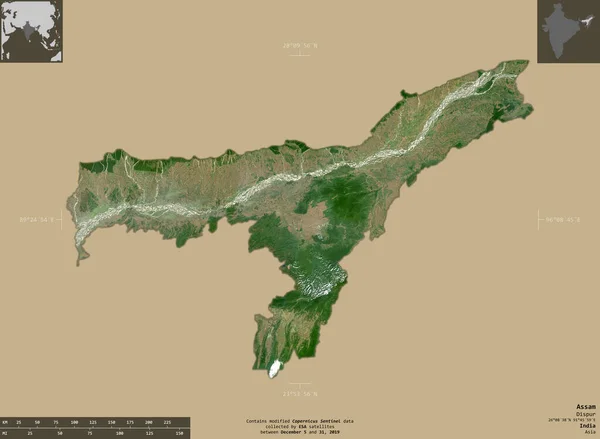
Assam, State Of India. Sentinel-2 Satellite Imagery. Shape Isolated On Solid Background With Informative Overlays. Contains Modified Copernicus Sentinel Data
Image, 3.22MB, 3695 × 2706 jpg

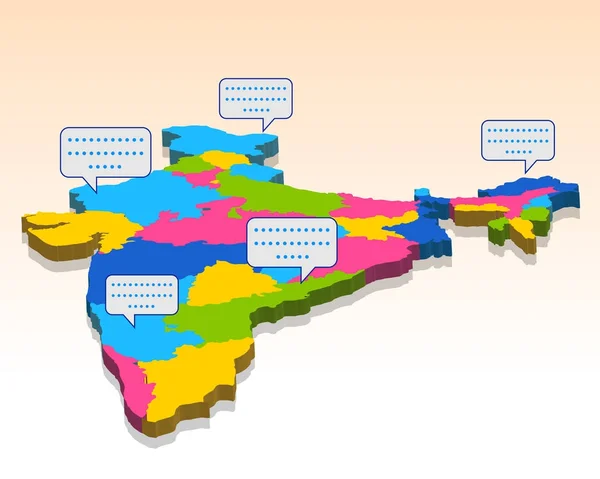
India Vector Map With Infographic Elements, Pointer Marks. Editable Template With Regions, Cities And Capital Delhi.
Vector, 3.93MB, 4000 × 4000 eps

Love Delhi Creative Vector I Love Delhi Vector Illustration Delhi City Skyline
Vector, 4.97MB, 5760 × 3240 eps

Symbol Map Of The Union Territory Delhi (India) Showing The State/province With A Pattern Of Black Squares Like A Chessboard
Vector, 0.59MB, 5911 × 6000 eps

Zoom In On Maharashtra (state Of India) Extruded. Oblique Perspective. Satellite Imagery. 3D Rendering
Image, 3.26MB, 3840 × 2160 jpg
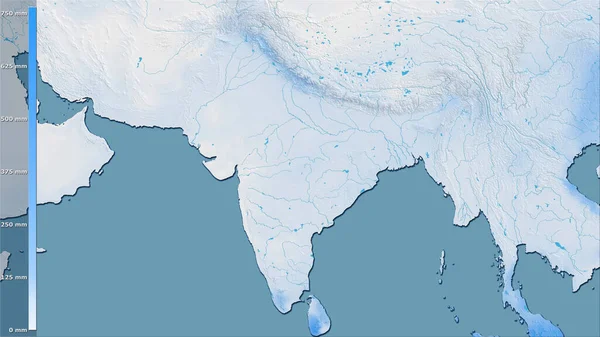
Precipitation Of Driest Quarter Within The India Area In The Stereographic Projection With Legend - Raw Composition Of Raster Layers
Image, 3.41MB, 2880 × 1620 jpg
Republic Of India Isolated Map And Official Flag Icons. Vector Indian Political Map Thin Line Style Illustration. South Asia Country Geographic Banner Template. Travel And Business Concept Map
Vector, 2.29MB, 4000 × 4000 eps
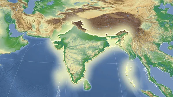
India And Its Neighborhood. Distant Oblique Perspective - Shape Glowed. Color Physical Map
Image, 4.3MB, 2880 × 1620 jpg
Page 1 >> Next