
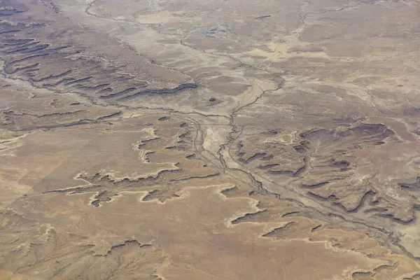
Stock image Desert Topography

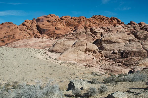
Beautiful Red Rock Formation Near Gemini Bridges In The Canyon Lands National Park, Utah
Image, 3.41MB, 4032 × 2268 jpg


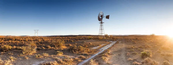
Close Up Image Of A Windpump / Windmill /windpomp Against A Bright Blue Sky In The Karoo Of South Africa
Image, 25.79MB, 9678 × 3673 jpg

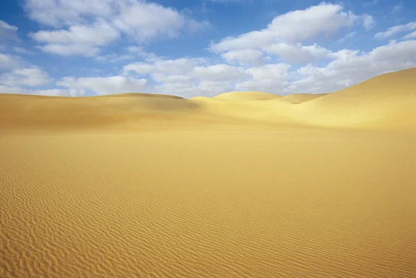
Diffused Light Of Morning Over Chains Of Moving Sand Dunes Covering The Surface Of The Taklamakan Desert Some Of Them Reaching Up To 300 Ms.high. Qiemo Cherchen County-Xinjiang Uyghur Region-China.
Image, 16.87MB, 5100 × 3400 jpg
Wind-shaped Hollow And Pyramidal Sand Peak Molded In The Shifting Sands Topping The Megadunes Spread Under The Scorching Sun And Blue Sky Of The Badain Jaran Desert-Alxa Plateau-Inner Mongolia-China.
Image, 13.53MB, 5400 × 3600 jpg
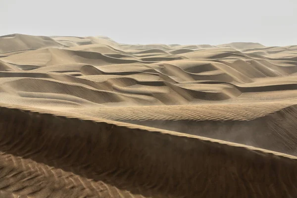
Shifting Sand Dunes-nitre Bushes-Takla Makan Desert. Hotan Prefecture-Xinjiang Uyghur Region-China-0009
Image, 18.08MB, 3400 × 5100 jpg

Diffused Sunrise Light-Taklamakan Shifting Dunes Along 233 Prov.Road Between Shamo Expwy.and 315 Nnal.Road Running N.and E.across The Desert. Qiemo Cherchen-Bayingolin Pref.-Xinjiang Uyghur Reg.-China
Image, 10.71MB, 3000 × 4500 jpg
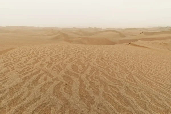
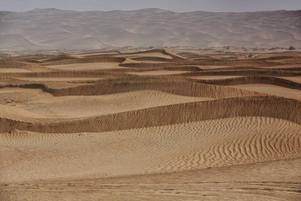
Moving Sand Dunes Cover The Surface Of The Taklamakan Desert Forming Chains Of These Eolian Topographic Forms-some Of Them Reaching Up To 300 Ms.high. Yutian Keriya County-Xinjiang Uyghur Region-China
Image, 10.84MB, 3400 × 5100 jpg


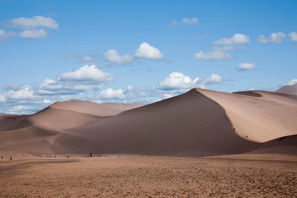
Chains Of Moving And Stationary Sand Dunes Cover The Badain Jaran Desert With Some Of Them Reaching Up To 500 Meters-tire Tracks On The Desert Floor-overcast Sky. Alxa Plateau-Inner Mongolia-China.
Image, 12.81MB, 5400 × 3600 jpg
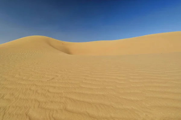
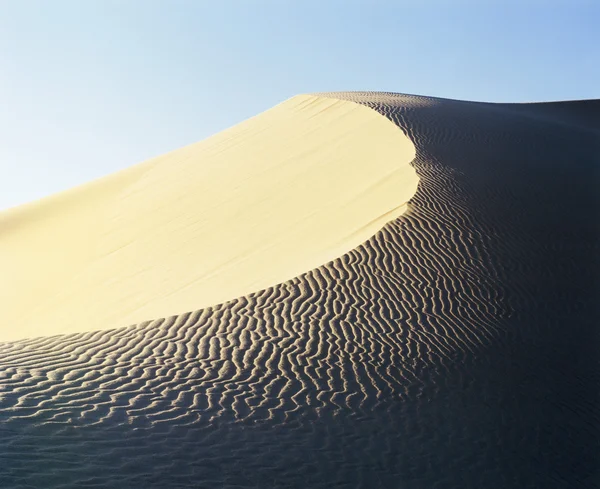
Early Morning Light Over Chains Of Barchans-moving Sand Dunes Covering The Surface Of The Taklamakan Desert Some Of Them Reaching Up To 300 Ms.high. Qiemo Cherchen County-Xinjiang Uyghur Region-China.
Image, 8.09MB, 5100 × 3400 jpg
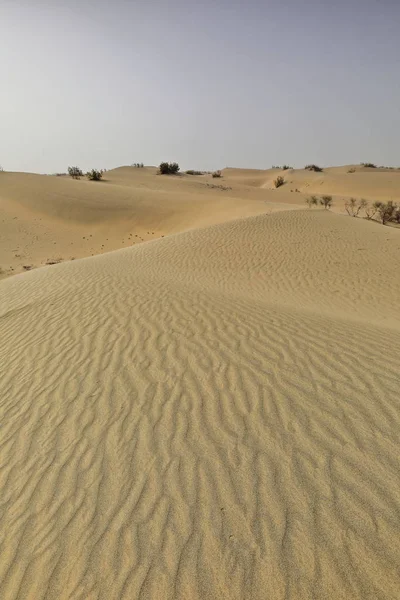
Moving Sand Dunes Cover The Surface Of The Taklamakan Desert Forming Chains Of These Eolian Topographic Forms-some Of Them Reaching Up To 300 Ms.high. Yutian Keriya County-Xinjiang Uyghur Region-China
Image, 11.68MB, 5100 × 3400 jpg


Tourist Leaves Footprints On A Sand Ridge While Climbing The Mounds On The Windward-W.facing Slope Of Megadunes Shaping The Sumu Barun Jaran Lake's E.shore. Badain Jaran Desert-Inner Mongolia-China.
Image, 15.08MB, 3600 × 5400 jpg
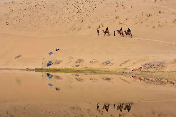
Lake Badain Reflects A Small Tourist Group Starting A Ride On Bactrian Camels Across The Badain Jaran-Badanjilin Shamo-Mysterious Lakes Desert-section Of Gobi Desert. Alxa Plateau-Inner Mongolia-China
Image, 12.63MB, 5400 × 3600 jpg

Sand Ridges Of Megadunes Overlooking The S+W.shores Of Sumu Barun Jaran Lake Illuminated By The Warm Light Of Morning Under A Hazy Cloudy Sky. Badain Jaran Desert-Alxa Plateau-Inner Mongolia-China.
Image, 12.85MB, 5400 × 3600 jpg
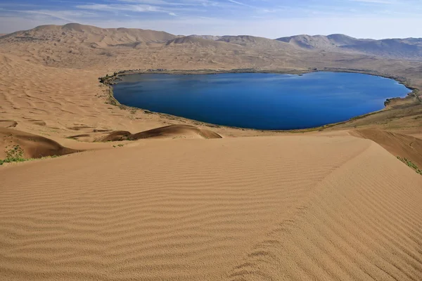
Full View Nuoertu Lake -biggest In The Badain Jaran Desert With 1'45 Km2- And Eastern Megadunes Seen From The 420 Ms.high Of Its Western Megadune Under Hazy-scant Cloudy Blue Sky. Inner Mongolia-China
Image, 16.31MB, 5400 × 3600 jpg

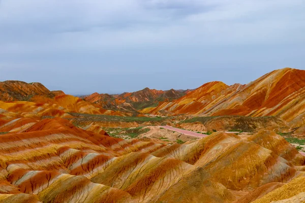
Amazing Scenery Of Rainbow Mountain And Blue Sky Background In Sunset. Zhangye Danxia National Geopark, Gansu, China. Colorful Landscape, Rainbow Hills, Unusual Colored Rocks, Sandstone Erosion
Image, 11.3MB, 6000 × 4000 jpg


Tire Tracks In The Megadune Overlooking The East Shore Of Sumu Jaran Lake Illuminated By The Warm Light Of Sunset Under A Menacing Leaden Sky. Badain Jaran Desert-Alxa Plateau-Inner Mongolia-China.
Image, 11.71MB, 5400 × 3600 jpg
Sand Ridges Of Megadunes Overlooking The SW.shore Of Sumu Barun Jaran Lake Illuminated By The Morning Light Of An Unevenly Sparsely Cloudy Sky. Badain Jaran Desert-Alxa Plateau-Inner Mongolia-China.
Image, 14.13MB, 3600 × 5400 jpg
Moving Sand Dunes Cover The Surface Of The Taklamakan Desert Forming Chains Of These Eolian Topographic Forms-some Of Them Reaching Up To 300 Ms.high. Yutian Keriya County-Xinjiang Uyghur Region-China
Image, 13.63MB, 3400 × 5100 jpg


Page 1 >> Next