photo free
Home Images Vectors Videos

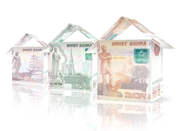
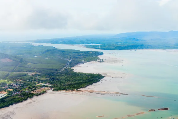
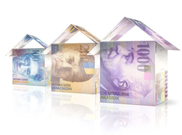
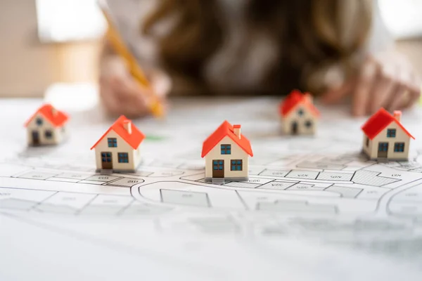
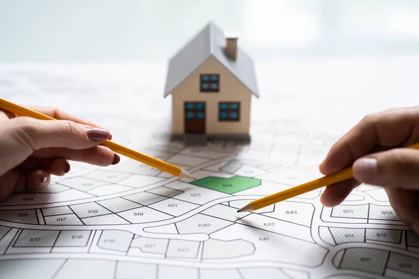
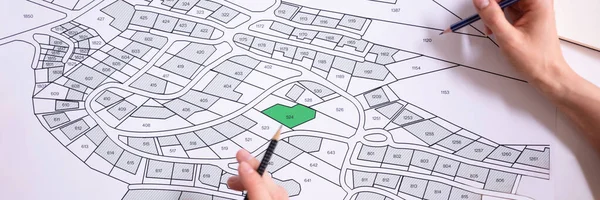
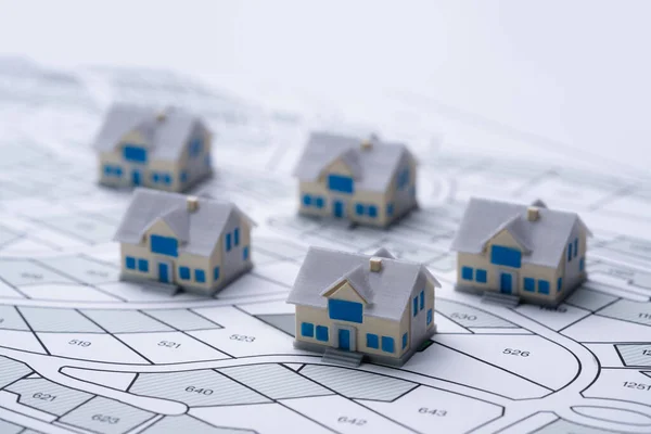
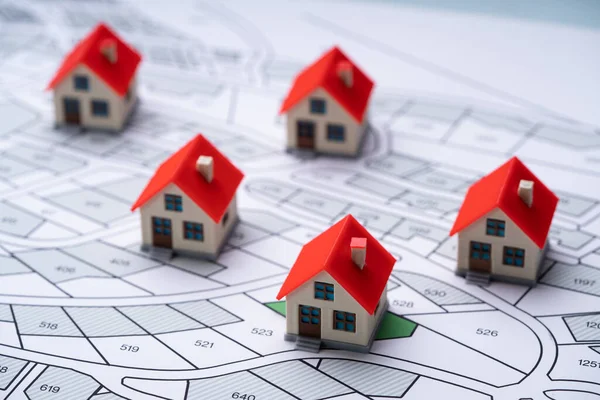
Stock image Developed Land

stock image Cartographer Land Map Plot. Cartographer Or Building Developer

Cartographer Land Map Plot. Cartographer Or Building Developer

Image, 20.4MB, 14668 × 4869 jpg
stock image Farm crops and blue sky

Farm Crops And Blue Sky

Image, 11.56MB, 5700 × 4528 jpg
stock image A canopy of green leaves in spring.

A Canopy Of Green Leaves In Spring.

Image, 10.03MB, 4912 × 7360 jpg
stock image Ring of kerry, undeveloped land

Ring Of Kerry, Undeveloped Land

Image, 6.61MB, 5700 × 4303 jpg
stock image Woodruff white flowers

Woodruff White Flowers

Image, 6.71MB, 2848 × 4288 jpg
stock image Woodruff white flowers

Woodruff White Flowers

Image, 7.97MB, 4288 × 2848 jpg
stock image Woodruff white flowers

Woodruff White Flowers

Image, 9.67MB, 4288 × 2848 jpg
stock image Aldershot in the summer

Aldershot In The Summer

Image, 5.66MB, 3782 × 5700 jpg
stock image man raising hands toward sky

Man Raising Hands Toward Sky

Image, 2.29MB, 5700 × 3800 jpg
stock image Crossed skis over mountains

Crossed Skis Over Mountains

Image, 4.49MB, 7612 × 3500 jpg
stock image Flower sculpture in buenos aires

Flower Sculpture In Buenos Aires

Image, 2.72MB, 2112 × 2816 jpg
stock image NETANYA, ISRAEL - MARCH 9, 2022: Modern high-rises in Netanya. Ir Yamim is the new development building neighborhood,, in the south of Netanya high-rise apartment buildings and infrastructure

NETANYA, ISRAEL - MARCH 9, 2022: Modern High-rises In Netanya. Ir Yamim Is The New Development Building Neighborhood,, In The South Of Netanya High-rise Apartment Buildings And Infrastructure

Image, 7.15MB, 3500 × 2329 jpg
stock image Freshly plowed and sowed farming land from above

Freshly Plowed And Sowed Farming Land From Above

Image, 9.92MB, 4385 × 2362 jpg
stock image Freshly plowed and sowed farming land from above

Freshly Plowed And Sowed Farming Land From Above

Image, 9.99MB, 2362 × 2737 jpg
stock image Freshly plowed and sowed farming land from above

Freshly Plowed And Sowed Farming Land From Above

Image, 13.32MB, 4696 × 2126 jpg
stock image Developed flattened land

Developed Flattened Land

Image, 9.95MB, 3992 × 2992 jpg
stock image Industrial Wasteland in China with Pollution Smog

Industrial Wasteland In China With Pollution Smog

Image, 0MB, 5050 × 3367 jpg
stock image Cadastre Land Development Map And Developer Plot

Cadastre Land Development Map And Developer Plot

Image, 17.92MB, 9504 × 6336 jpg
stock image Vacant City Land

Vacant City Land

Image, 14.48MB, 5184 × 3456 jpg
stock image Land Development Map. Developer With Project Plot

Land Development Map. Developer With Project Plot

Image, 21.07MB, 9504 × 6336 jpg
stock image Bank note currency background

Bank Note Currency Background

Image, 14.08MB, 6454 × 4796 jpg
stock image Establishing aerial photo of boat traveling down a river through the jungle in the Orinoco Delta, Venezuela, South America. Sunny, exterior of dense forest with boat on snaking river

Establishing Aerial Photo Of Boat Traveling Down A River Through The Jungle In The Orinoco Delta, Venezuela, South America. Sunny, Exterior Of Dense Forest With Boat On Snaking River

Image, 9.96MB, 4000 × 2560 jpg
stock image Establishing aerial photo of boat traveling down a river through the jungle in the Orinoco Delta, Venezuela, South America. Sunny, exterior of dense forest with boat on snaking river

Establishing Aerial Photo Of Boat Traveling Down A River Through The Jungle In The Orinoco Delta, Venezuela, South America. Sunny, Exterior Of Dense Forest With Boat On Snaking River

Image, 5.56MB, 3472 × 2222 jpg
stock image Bank note currency background

Bank Note Currency Background

Image, 13.99MB, 6454 × 4796 jpg
stock image Shallow Waters of an Estuary and Wetlands, From the Air

Shallow Waters Of An Estuary And Wetlands, From The Air

Image, 17.82MB, 7343 × 4901 jpg
stock image Bank note currency background

Bank Note Currency Background

Image, 17.23MB, 6454 × 4796 jpg
stock image Land Plot And Building Map. Urban Development Planning

Land Plot And Building Map. Urban Development Planning

Image, 8.22MB, 8732 × 2911 jpg
stock image Bank note currency background

Bank Note Currency Background

Image, 16.61MB, 6454 × 4796 jpg
stock image Cadastre Land Development Map And Developer Plot

Cadastre Land Development Map And Developer Plot

Image, 18.07MB, 9267 × 6178 jpg
stock vector A house that is flooded/This is an illustration of a flooded house.

A House That Is Flooded/This Is An Illustration Of A Flooded House.

Vector, 0.89MB, 7000 × 4375 eps
stock image Land Development Map. Developer With Project Plot

Land Development Map. Developer With Project Plot

Image, 17.1MB, 9358 × 6239 jpg
stock image Land Development Map. Developer With Project Plot

Land Development Map. Developer With Project Plot

Image, 14.12MB, 9355 × 6237 jpg
stock vector A house that is flooded/This is an illustration of a flooded house.

A House That Is Flooded/This Is An Illustration Of A Flooded House.

Vector, 0.86MB, 7000 × 4445 eps
stock image Cadastre Land Development Map And Developer Plot

Cadastre Land Development Map And Developer Plot

Image, 7.01MB, 7558 × 2519 jpg
stock vector Developed and underdeveloped countries vector

Developed And Underdeveloped Countries Vector

Vector, 0.73MB, 5333 × 4000 eps
stock image Land Plot And Cadastre Map. House Development

Land Plot And Cadastre Map. House Development

Image, 12.54MB, 9182 × 6121 jpg
stock image Close-up Of Human Hand Holding Pencil Over Paper Cadastre Map

Close-up Of Human Hand Holding Pencil Over Paper Cadastre Map

Image, 17.99MB, 9241 × 6161 jpg
stock image Land Plot And Cadastre Map. House Development

Land Plot And Cadastre Map. House Development

Image, 20MB, 9504 × 6336 jpg
stock image Cadastre Land Development Map And Developer Plot

Cadastre Land Development Map And Developer Plot

Image, 13.06MB, 8694 × 5796 jpg
stock vector Water contamination detection system concept landing page

Water Contamination Detection System Concept Landing Page

Vector, 6.14MB, 8000 × 4500 eps
stock image Land Plot And Cadastre Map. House Development

Land Plot And Cadastre Map. House Development

Image, 22.18MB, 9504 × 6336 jpg
stock vector A house that is flooded/This is an illustration of a flooded house.

A House That Is Flooded/This Is An Illustration Of A Flooded House.

Vector, 0.86MB, 7000 × 4375 eps
stock vector A house that is flooded/This is an illustration of a flooded house.

A House That Is Flooded/This Is An Illustration Of A Flooded House.

Vector, 0.9MB, 7000 × 4594 eps
stock vector A house that is flooded/This is an illustration of a flooded house.

A House That Is Flooded/This Is An Illustration Of A Flooded House.

Vector, 0.9MB, 7000 × 5133 eps
stock image Graffiti bench in the woods in hdr

Graffiti Bench In The Woods In Hdr

Image, 34.16MB, 7473 × 3437 jpg
stock vector A house that is flooded/This is an illustration of a flooded house.

A House That Is Flooded/This Is An Illustration Of A Flooded House.

Vector, 0.66MB, 7000 × 5320 eps
stock image Beautiful Phi Phi island

Beautiful Phi Phi Island

Image, 6.11MB, 3986 × 2000 jpg
stock vector Archimedes screw vintage engraving

Archimedes Screw Vintage Engraving

Vector, 3.11MB, 7150 × 4679 eps
stock image Wasteland industry panorama

Wasteland Industry Panorama

Image, 10.38MB, 6497 × 2778 jpg
stock image Land Plot And Building Map. Urban Development Planning

Land Plot And Building Map. Urban Development Planning

Image, 0MB, 9504 × 6336 jpg
Page 1 >> Next